Last Updated on January 30, 2024
The San Antonio River Authority (River Authority) relies on the expertise of its engineers, scientists, technical, and specialized staff to carry out the agency’s commitment to safe, clean, and enjoyable creeks and rivers. While you may see our staff from Watershed & Parks Operations, Utilities, and Environmental Sciences departments out in the field performing work throughout the San Antonio River Basin, our agency also thrives thanks to the efforts of our Support Services staff who provide critical assistance to help support the River Authority’s financial, technological, and project management needs.
We will be highlighting the work of our Support Services staff in our blog, starting with the Geographic Information Science (GIS) team. Read along to learn more about their work and how their efforts support the success of many River Authority projects and initiatives!
GIS Team Efforts
Operating within the Informational Technology Department, the GIS Team functions as a support service for the River Authority turning data into geospatial intelligence. The team works on a variety of unique and highly specialized projects that span across the River Authority’s four-county jurisdiction through insightful analysis and compelling visualizations that support sound, data-based decision making. The team’s line of work is not only unique, but it’s also extremely important for the integrity of the ever-evolving San Antonio River Basin. Their work is present in almost every aspect of the agency, incorporating maps and geospatial insights into company communications with every opportunity available. In addition to supporting good decision making, the team’s goals are to empower users with geographic thinking and continue being data champions for the region by demonstrating geospatial excellence.
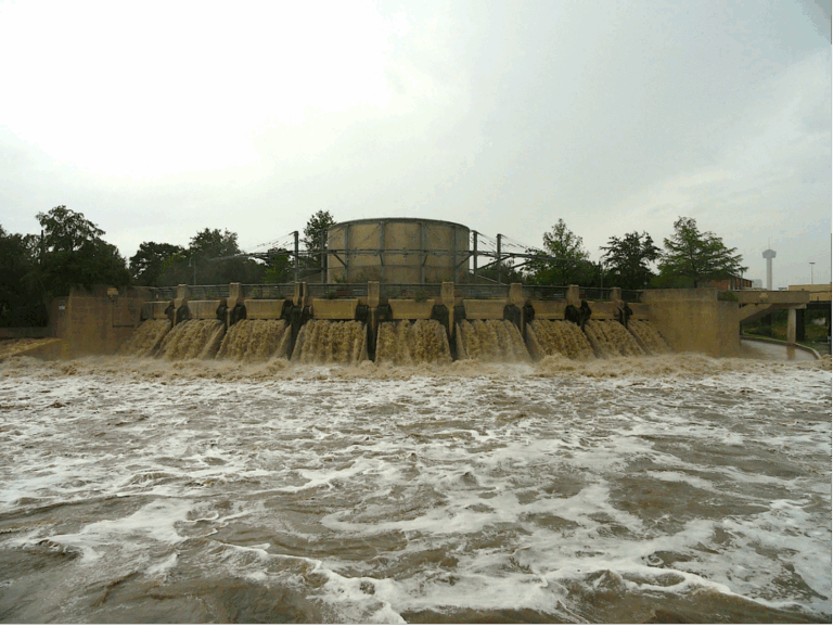
The GIS team’s work has been invaluable in the successful completion of several projects at the River Authority. Some recent examples include the Mission Reach Stem Density Project led by our Watershed & Parks Operations and Ecological Engineering departments. The project involved a study using the latest modeling and technology to assess the management of trees and woody species within the project limits. This was done to ensure that the density of the trees, both planted as part of the project and those that have come in naturally, are appropriately maintained to preserve flood conveyance along the San Antonio River Walk Mission Reach. The team also played a role in the Green Infrastructure Master Plan Contract, where watershed scale models were used to identify sub-basins or small watersheds that have the highest stormwater pollutant load reduction potential. This will help guide decision-makers on where and how to apply limited resources in the upcoming years to maximize water quality benefits while addressing local flooding concerns.
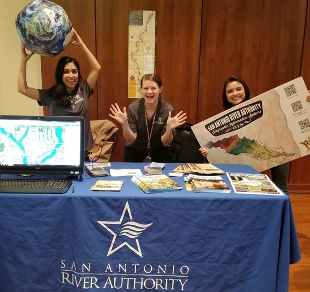
The GIS team is also responsible for developing and updating many of the River Authority’s flood risk, real estate, watershed master plans, and water quality interactive GIS viewers that are capable of displaying large amounts of data in an attractive, engaging, and user-friendly format. The team is often asked by regional partners and educational institutions to present on their work and share their expertise to other professionals and students, helping raise the agency’s profile within the technical field.
Learn More by Requesting a River Authority Community Presentation!
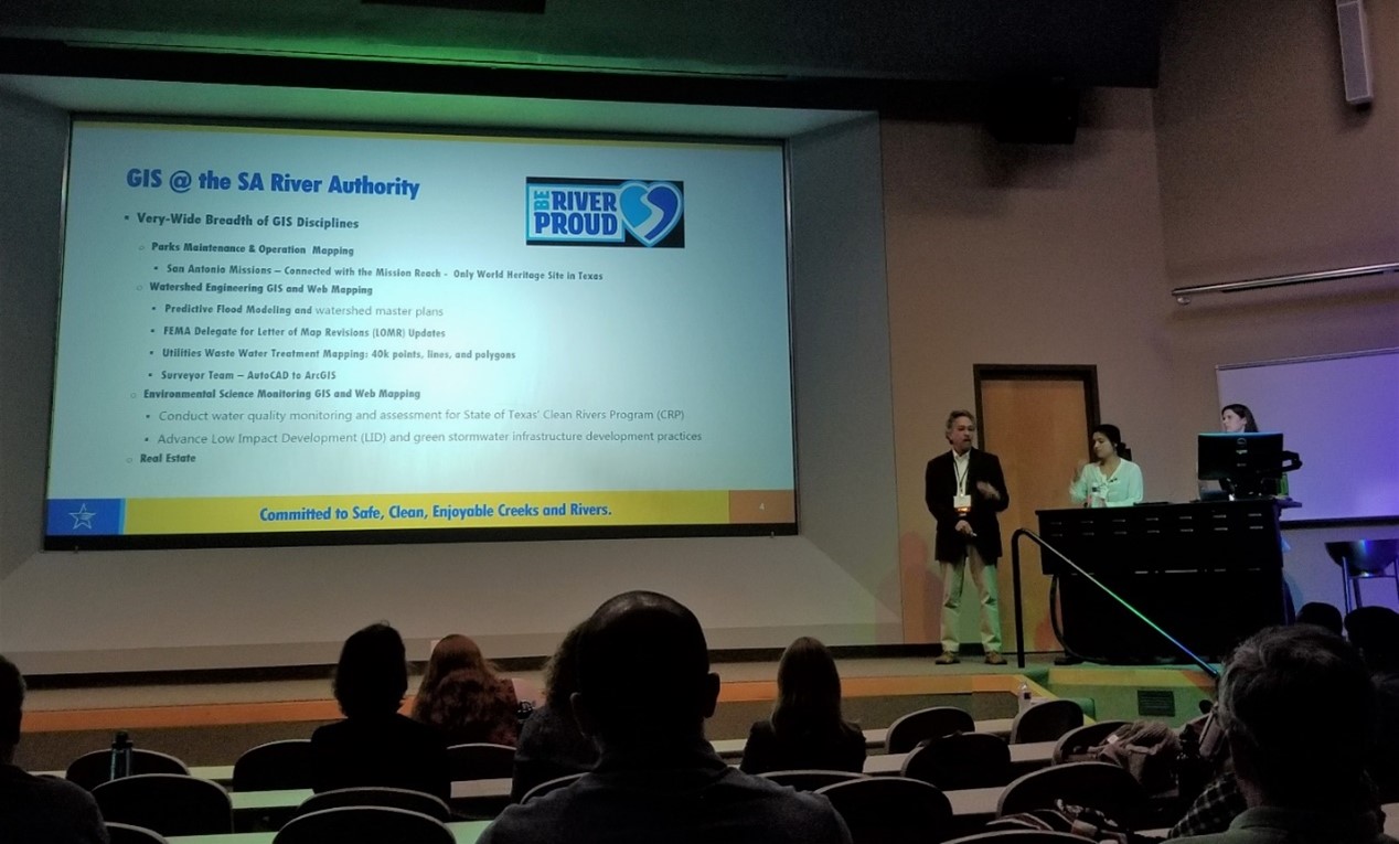
Interested in learning more about the River Authority? We offer community presentations that include a wide variety of important River Authority information such as how to assess your home’s flood risk, a review of San Antonio River Basin water quality, an explanation about the significance of sustainable, green infrastructure, details about the parks and paddling trails along the river, and ways that you can Be River Proud and join us in our efforts to protect and preserve area creeks and rivers. You can also request a presentation about a specific topic or area of expertise like our GIS Team efforts. Requests are filled on a first come, first served basis so request yours today!