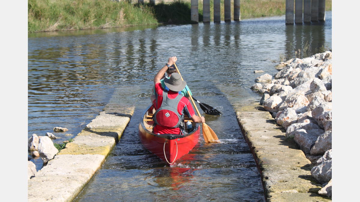
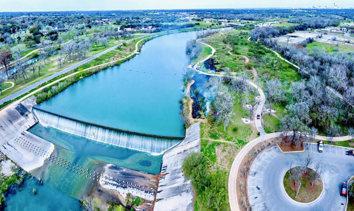
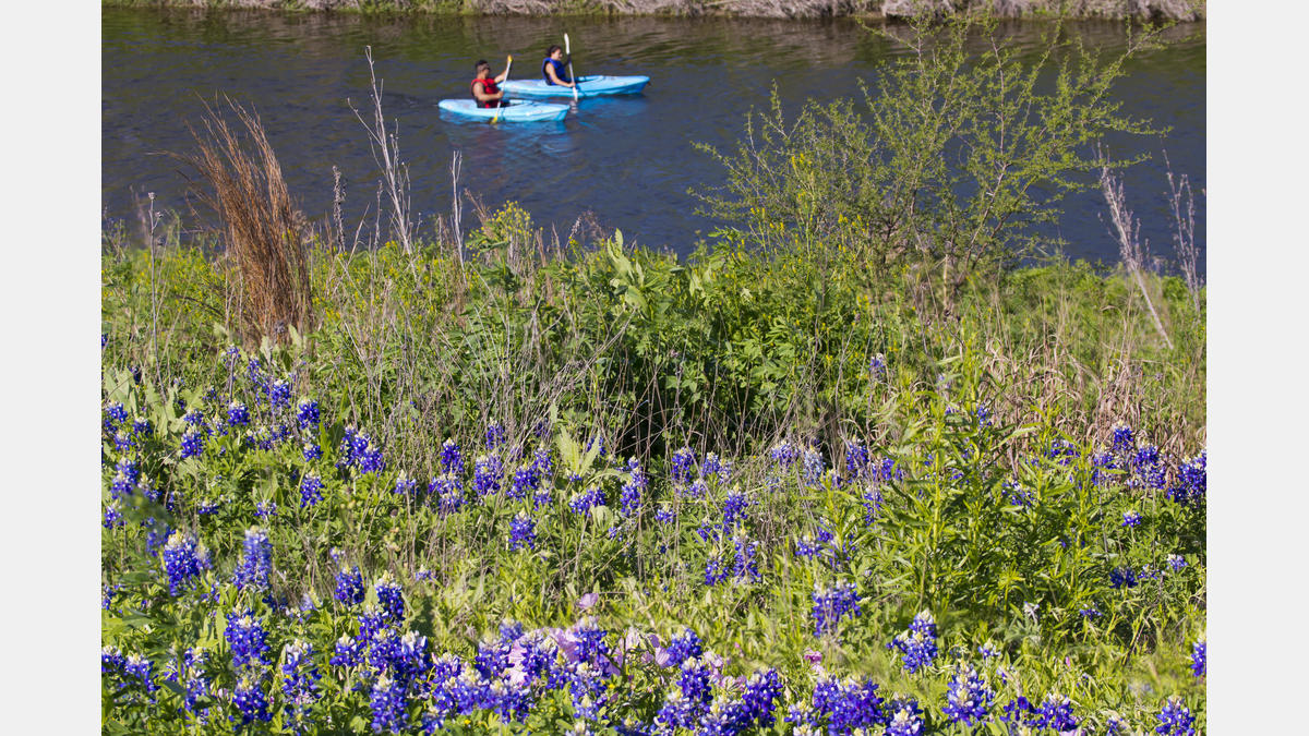
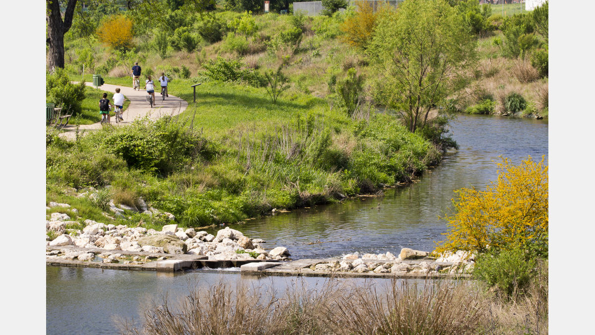
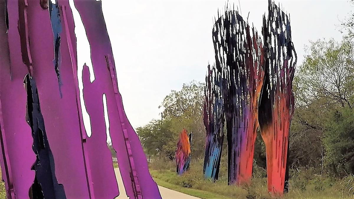
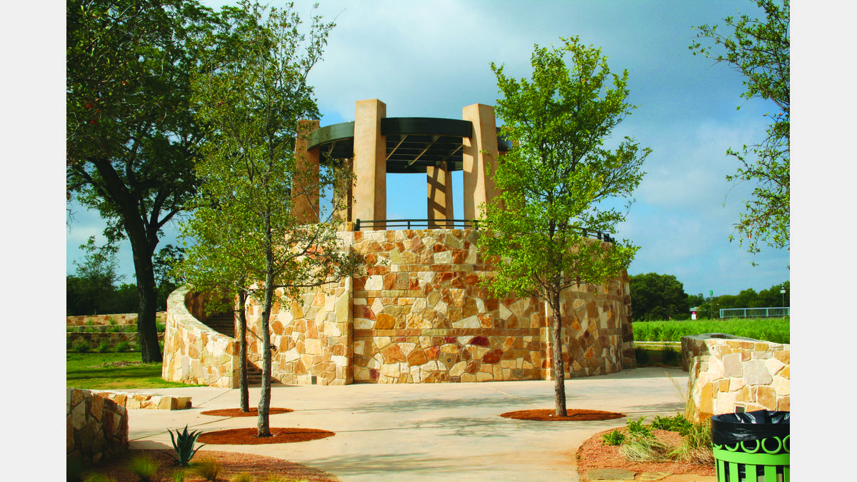
San-Antonio-River-Authority-Logo

San Antonio River Walk Mission Reach

Breathtaking landscapes, grand artwork, and internationally recognized National Parks are just a snapshot the Mission Reach section of the San Antonio River Walk.

San Antonio Magazine Best of the City LogoThis 8-mile linear park has over 16 miles of trail along the river for pedestrians and bicyclists to enjoy, plus a paddling trail for canoeing and kayaking. These trails connect to stunning Mission Portals which are large works of art serving as gateways to the San Antonio World Heritage Mission Sites.

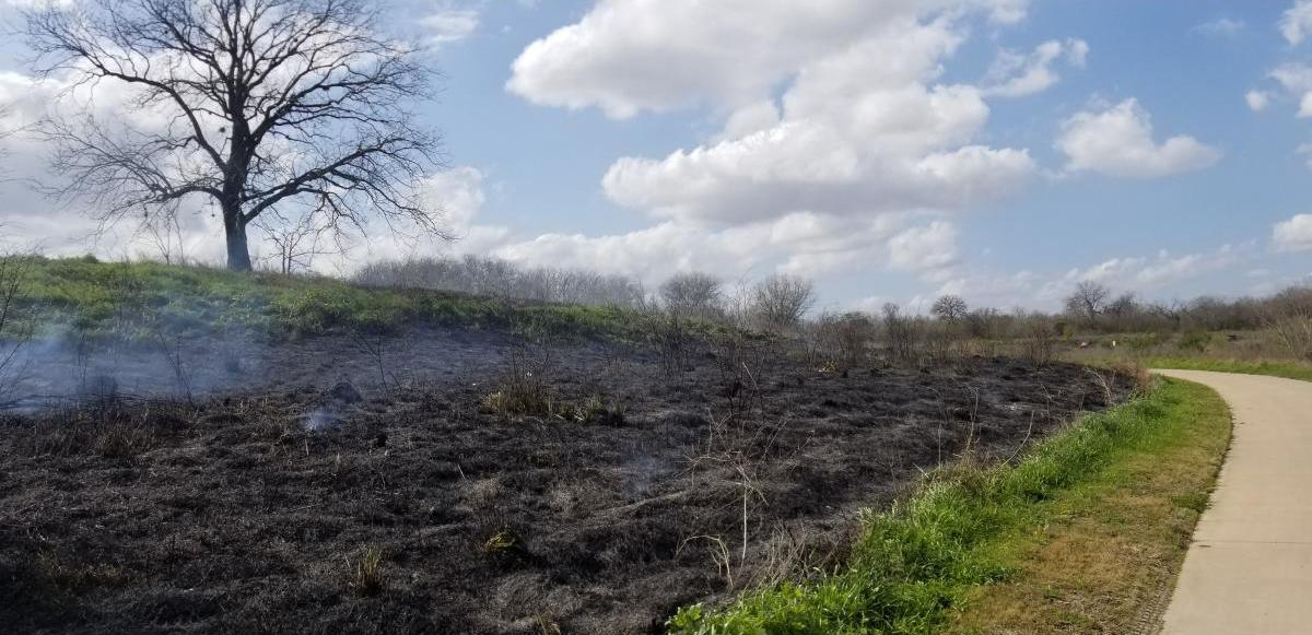
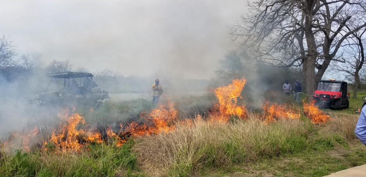
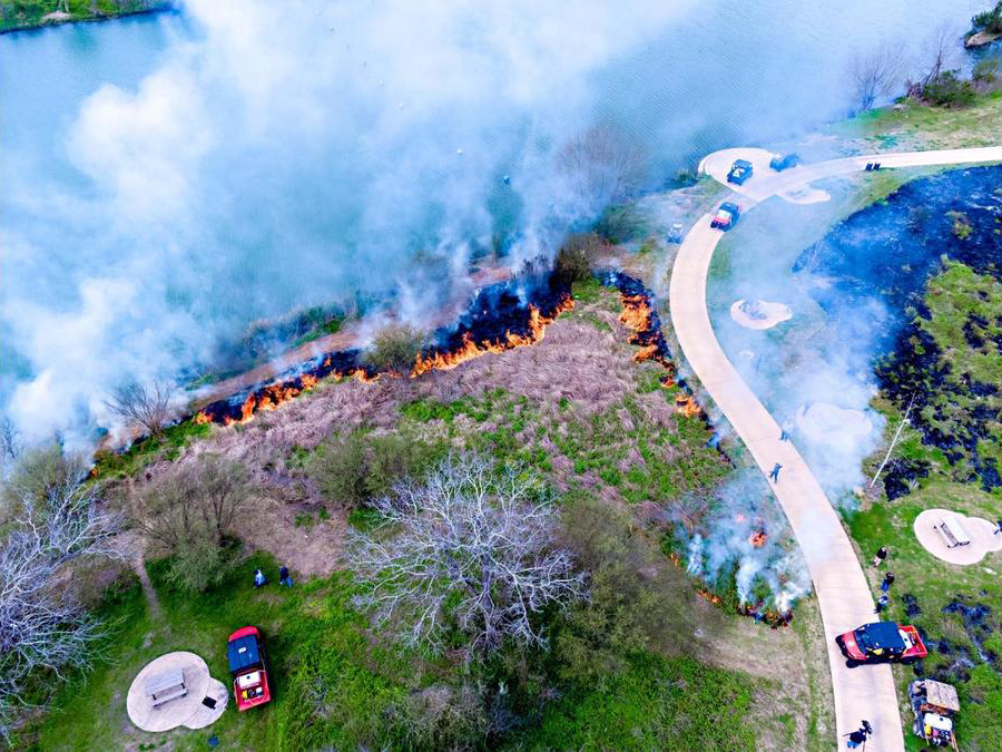
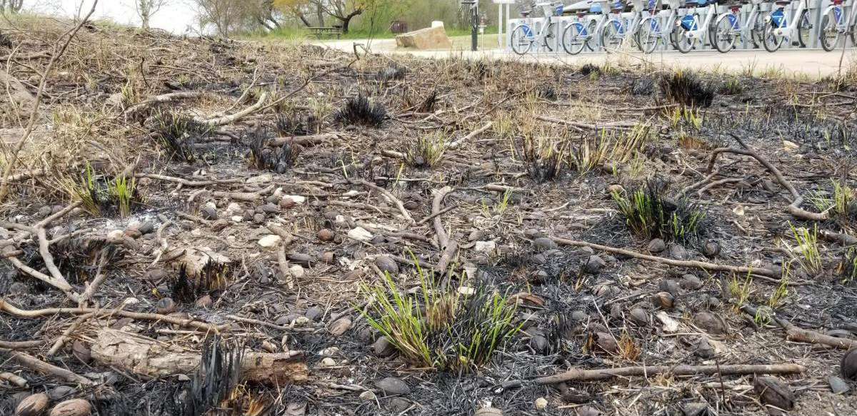
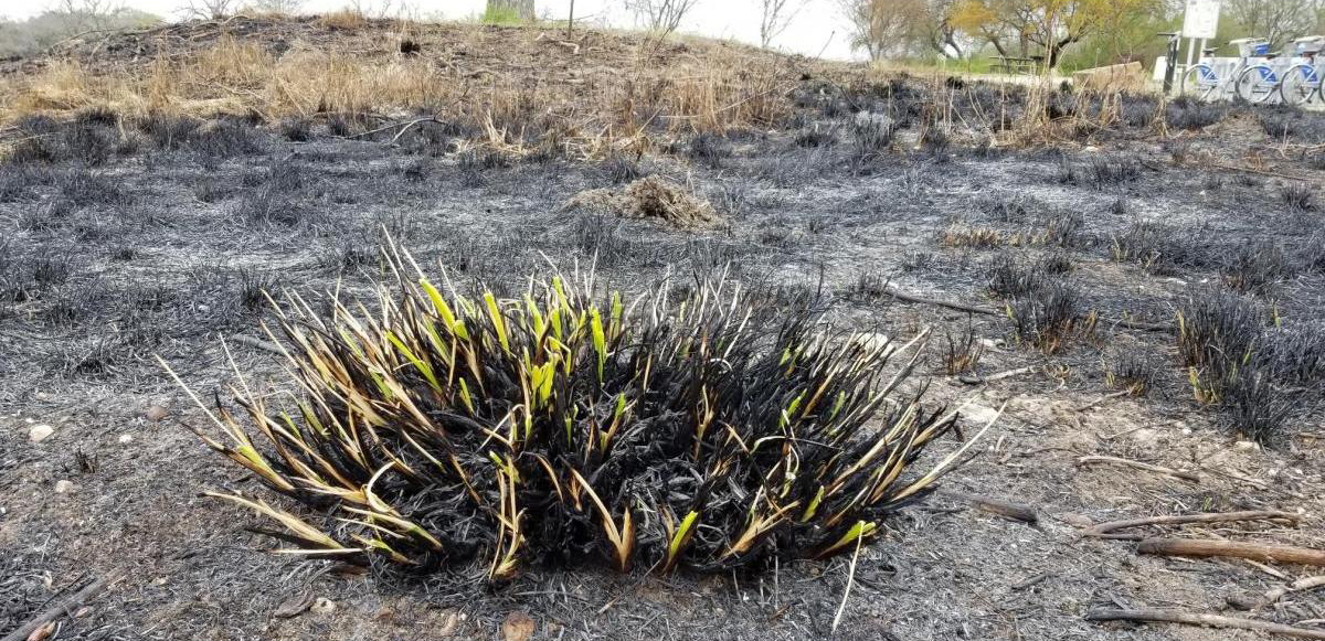
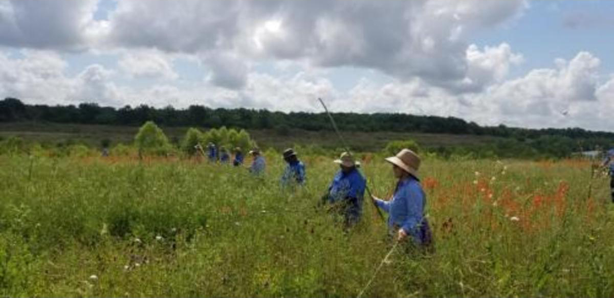
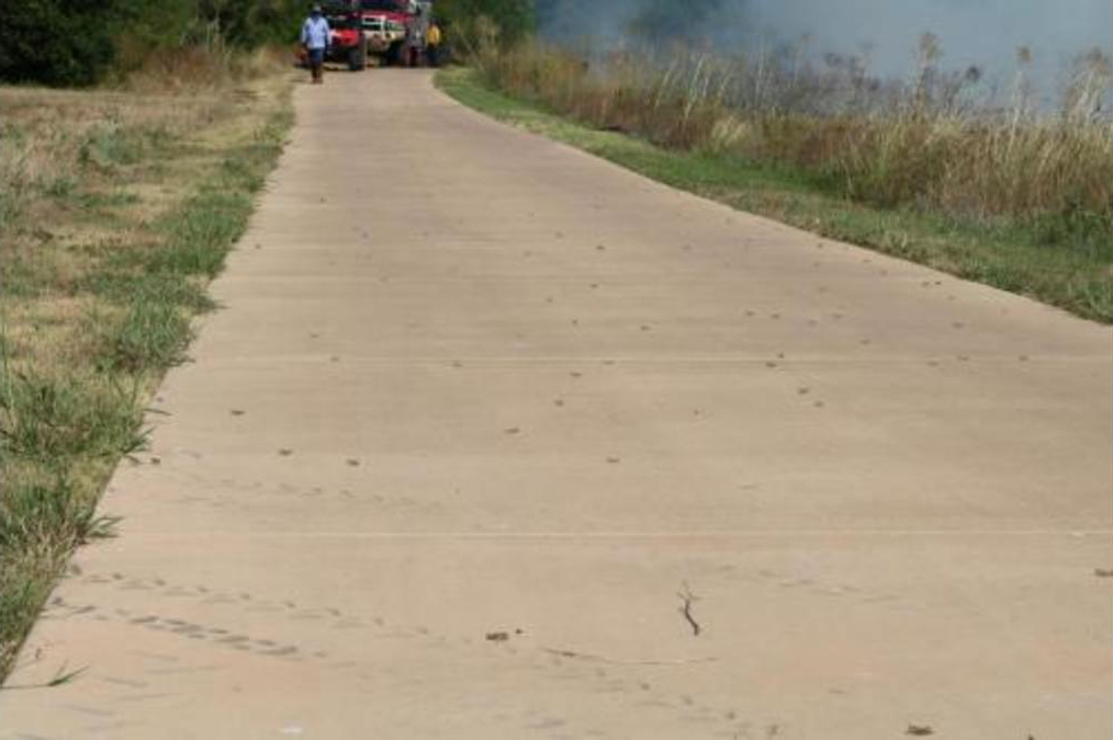
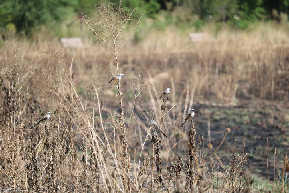
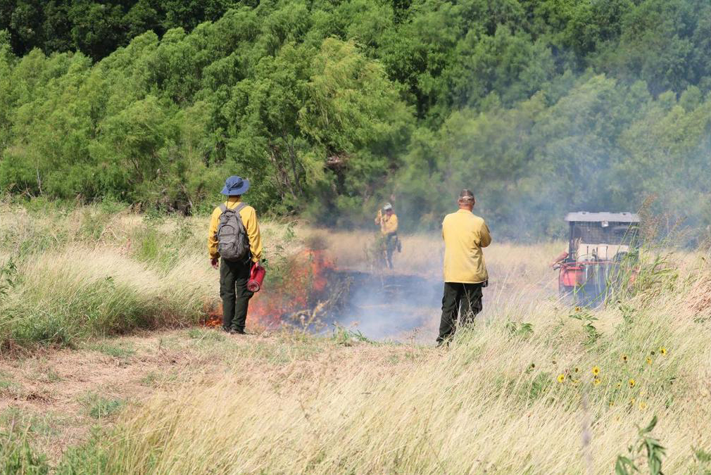
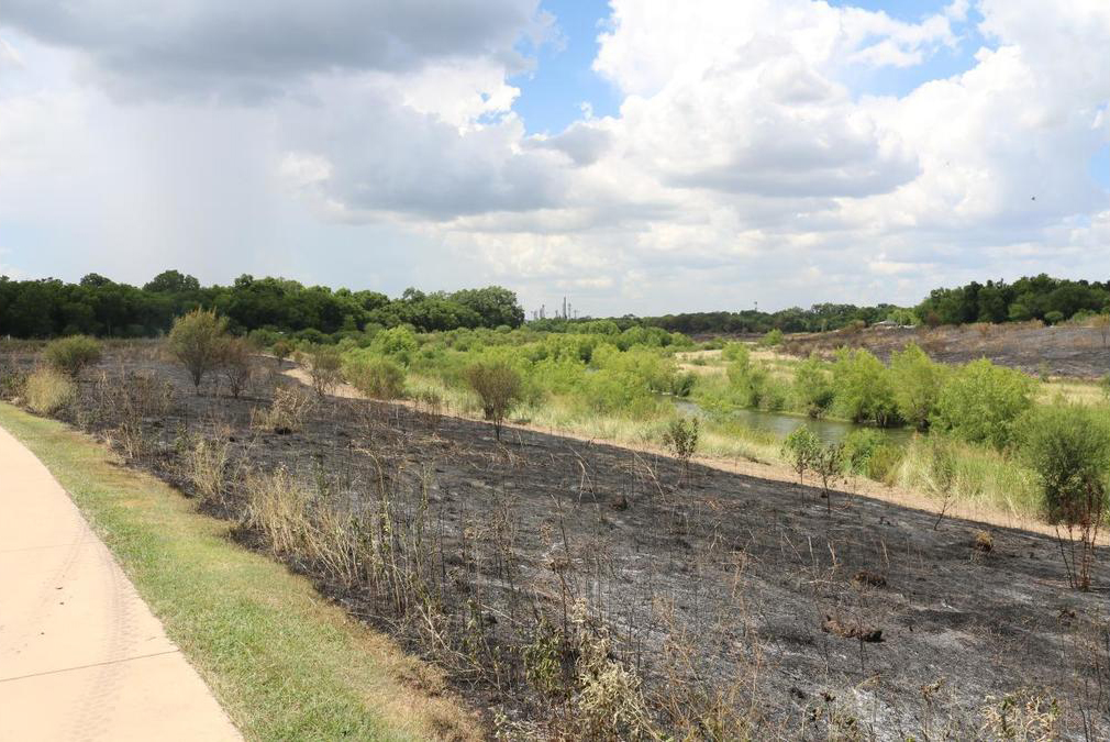
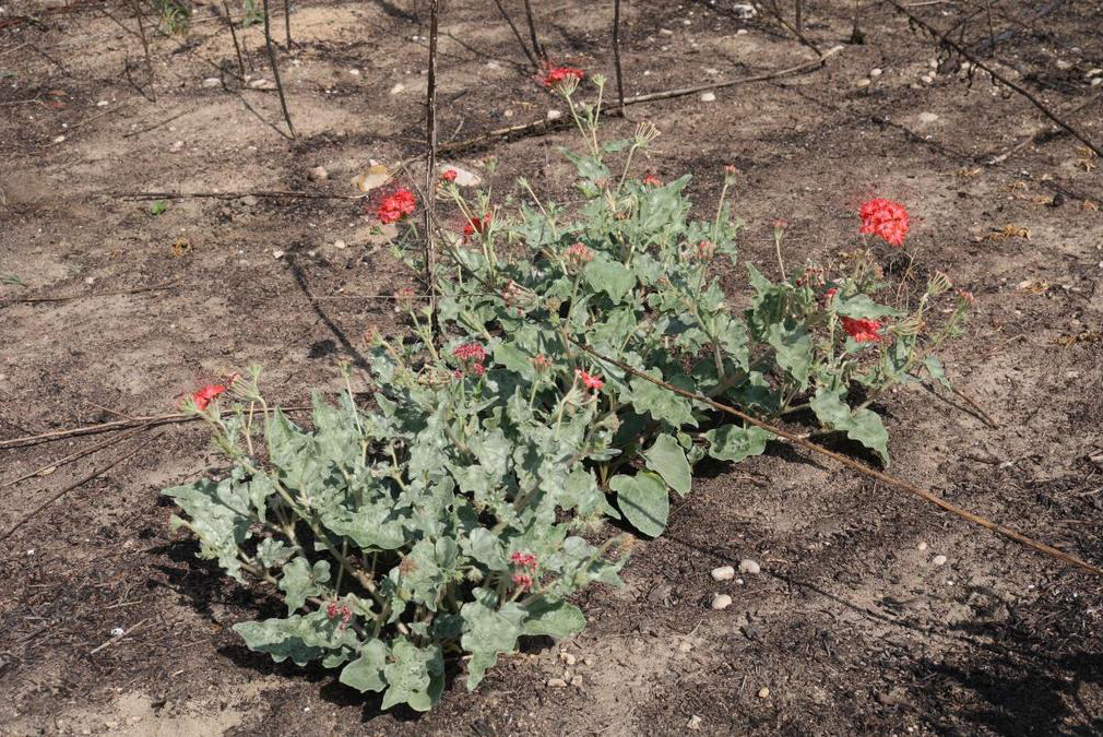
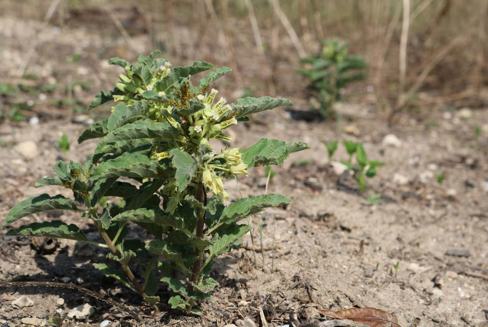
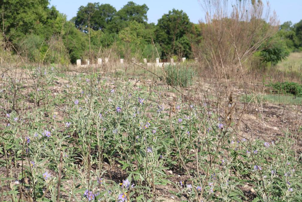
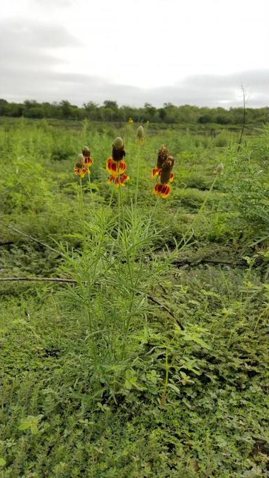
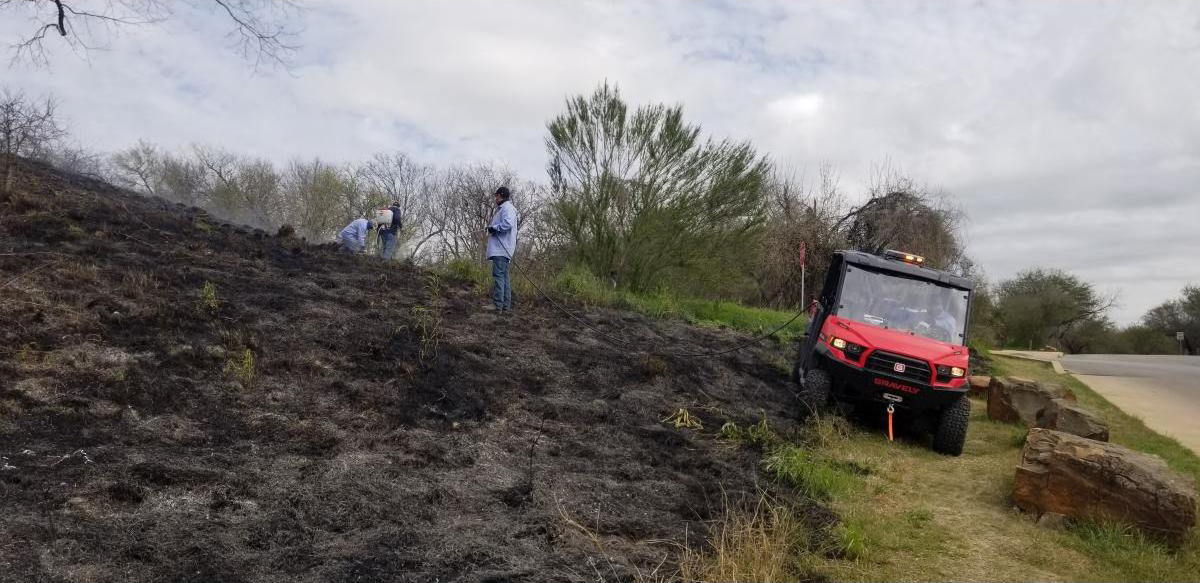
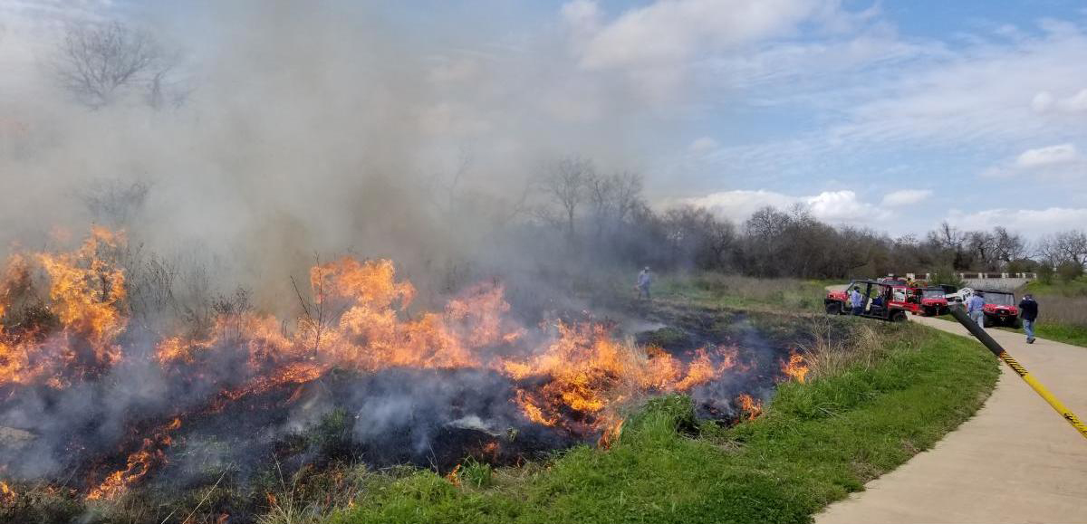
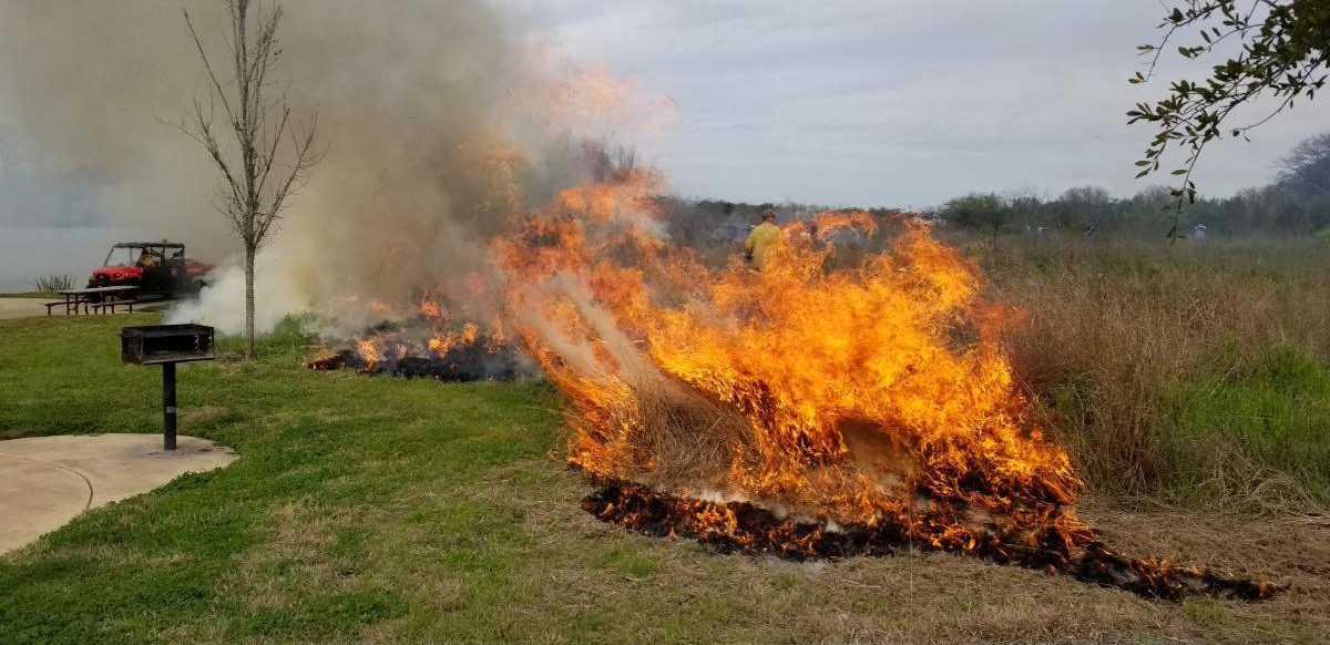
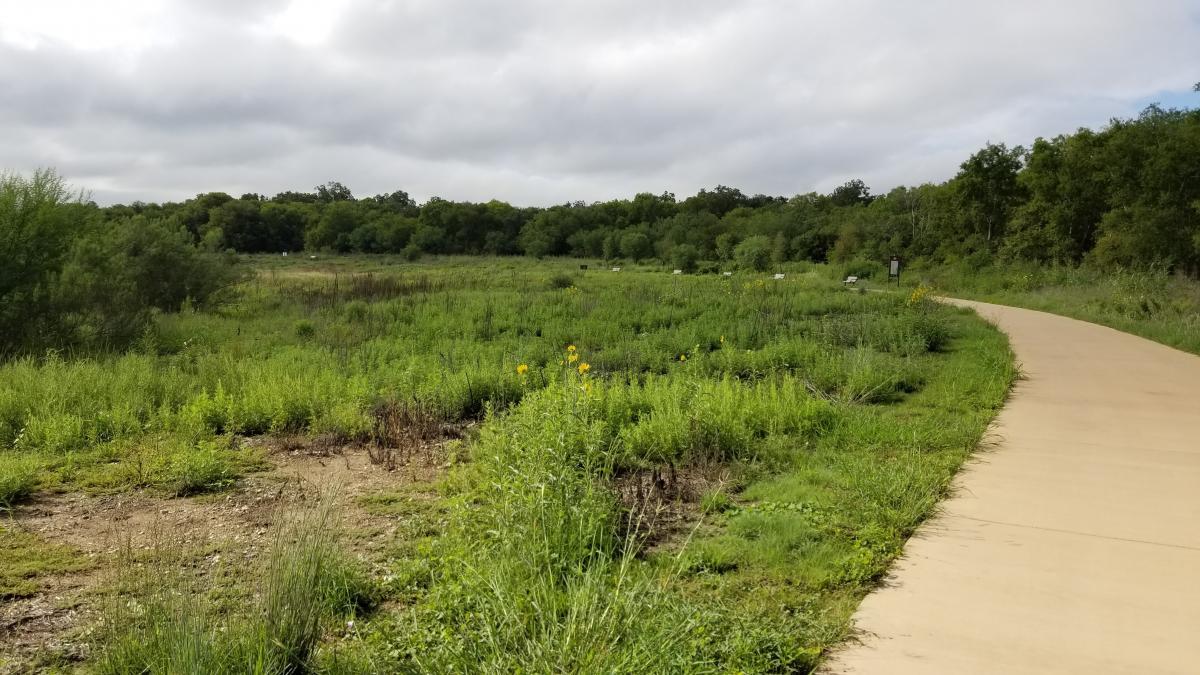
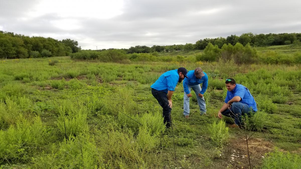
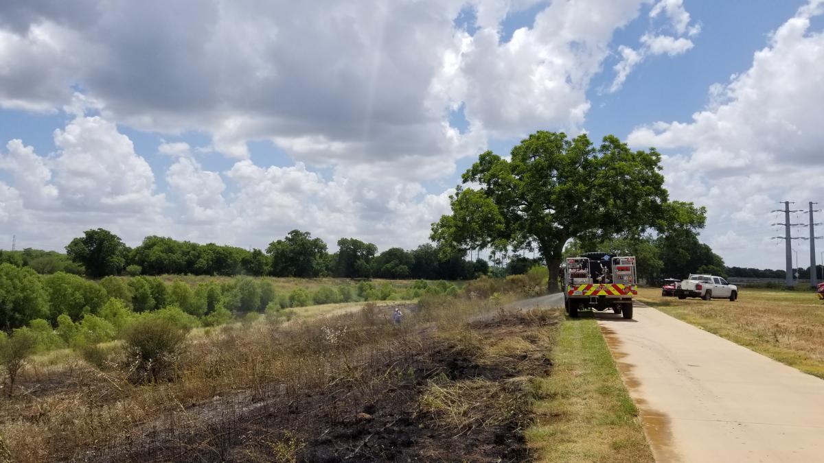
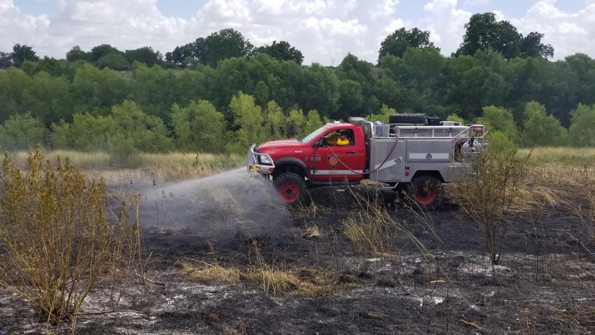
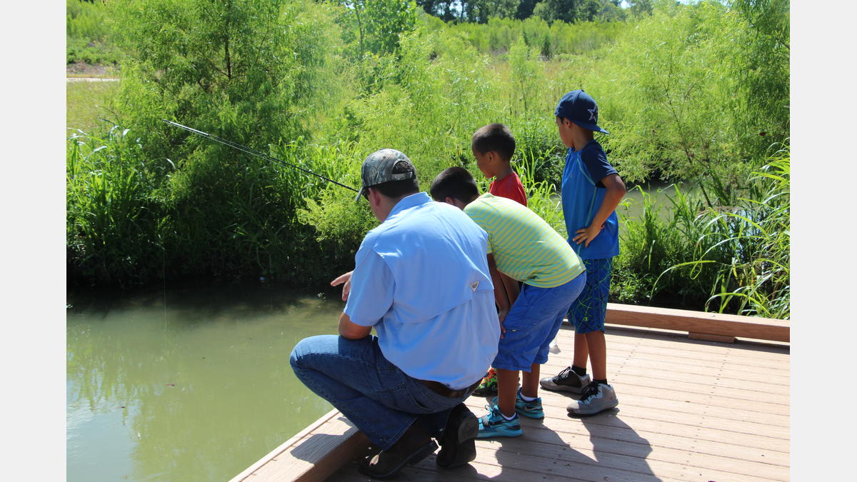
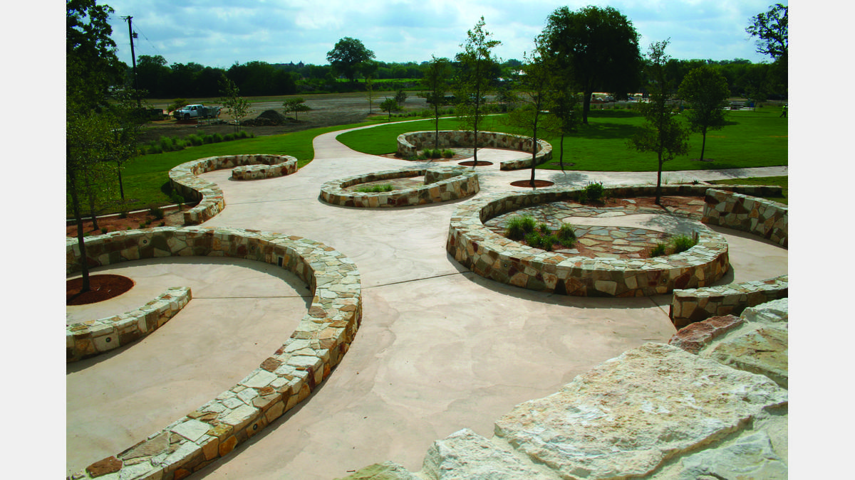
The Mission Reach looks much different than the historic San Antonio River Walk and the Museum Reach. It is a shining example of urban ecosystem restoration. You may run into some of our River Authority landscape team members keeping the area free of trash and nurturing the native Texas grasses and wildflowers that provide seed, pollen, fruit and nectar for wildlife. The result is a serene, natural landscape where visitors can enjoy the inherent beauty of the river. The restoration has also improved the San Antonio River’s water quality, ecosystem function and health. The ecosystem improvements allow fishermen, birdwatchers and other nature enthusiasts more opportunities to enjoy wildlife in an urban area. You might even join some of the River Authority recreation staff for a fishing or birding clinic!

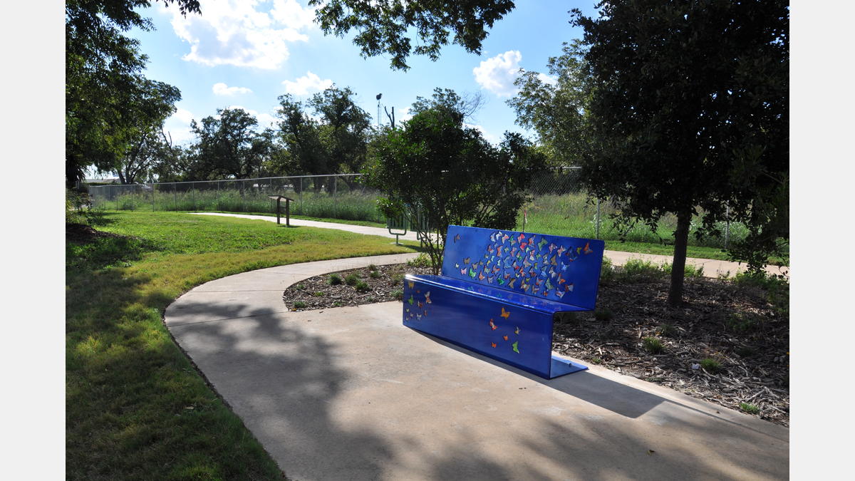
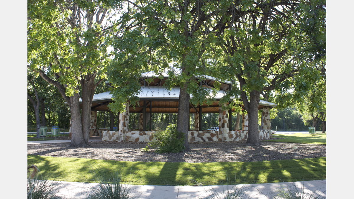
This park hosts 5K fun runs, art classes, festivals and many other community events.  You can host events of your own at one of the many pavilions available to reserve. Be sure to check out the River Authority events calendar and park registration system, and also download The San Antonio River Walk map to learn more about everything this park has to offer.

Mission Reach - Prescribed Burns

Periodic, low-intensity fires and other natural processes that reduce competition from taller plants and trees can benefit native plant communities, especially grassland systems. Land managers use the science of fire ecology to restore such areas through a process called prescribed burning. It is a controlled, planned, and safe management tool that is widely used to manage vegetation under very specific conditions. Prescribed burning, when used as part of an adaptive management program, can improve the landscape’s overall health by removing dead plant material, restoring nutrients to the soil, and suppressing some non-native species as well as trees. The San Antonio River Authority utilizes prescribed burning to maintain the Mission Reach Ecosystem Restoration Project.

In June 2018, the River Authority conducted its first prescribed burn to promote a resilient and diverse plant and wildlife community, reduce thatch, restore nutrients to the soil, suppress invasive species, and promote environmental education and sustainable landscape practices. The River Authority conducted its second burn in February 2019.

Prescribed burning can be conducted in two seasons: “cool” season burns, or burns that are conducted in the winter, are more likely to promote the growth of native species, whereas “warm” season burns, or burns conducted in the summer, are used more often to suppress the growth of non-native species. Regardless of the season, prescribed burning will aid in management by reducing cover, removing thatch, suppressing woody encroachment, and restoring nutrients to the soil.

After a prescribed burn, there is usually an increase in the diversity of plant and animal species. Additionally, plants exhibit new growth that is beneficial to wildlife. Although wildlife may be temporarily displaced during a prescribed burn, they often return to find the habitat improved. Furthermore, research shows that there are usually more insects found in rejuvenated burn areas compared to unburned areas. The increase in insects means more food is available for birds and other wildlife.

Park Amenities:

Park Natural Features:

Park Gallery:

Park Map:

Park Details:

Downloadable Resources:

San Antonio River Basin Guide

A collection of parks, trails, and historic destinations throughout the San Antonio River Basin, including Bexar, Wilson, Karnes and Goliad Counties as well as the San Antonio River Walk (Downtown, Museum Reach and Mission Reach).

Share:

Facebook
Twitter
LinkedIn
Email

Alerts

Trail Closure Notice: San Pedro Creek Culture Park

The west bank of the San Pedro Creek trail will be closed from the access point at Commerce St south to Dolorosa until further notice due to maintenance work. Alternate route w/ ADA access is on the east bank trail that can be accessed either from the Commerce or Dolorosa crossing.

SASPAMCO Paddling Trail

The SASPAMCO paddling trail is now open from River Crossing Park to Helton Nature Park. *Please Note: Paddling Trail from Helton Nature Park to HWY 97 is still closed due to blockages.*  

Stem Density Efforts

Stem Density efforts are still in place but will not directly affect any parks or trails. We apologize for any inconvenience.

San Pedro Creek Culture Park – STREAM

Due to maintenance, the water features for STREAM art piece will be turned off until further notice. The STREAM Microphone area is also closed due to vandalism. We apologize for the inconvenience.

River Reach Newsletter and Blog Signup

River Reach is offered as a printed, physical mailing to your residence or business. The Blog is a weekly electronic email with news and updates in order to be more environmentally conscious. Please fill out the form below and indicate your preferred method of delivery.

By submitting this form, you are consenting to receive marketing materials from: San Antonio River Authority, 100 East Guenther St., San Antonio, TX, 78204, US. You can revoke your consent to receive emails at any time by using the SafeUnsubscribe® link, found at the bottom of every email. Emails are serviced by Constant Contact. This site is protected by reCAPTCHA and the Google Privacy Policy and Terms of Service apply.