Basin Meditation

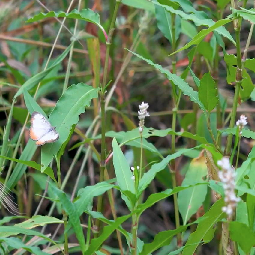
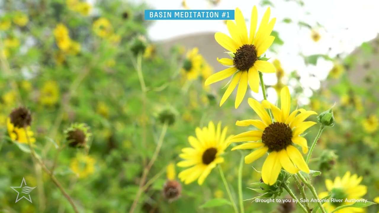
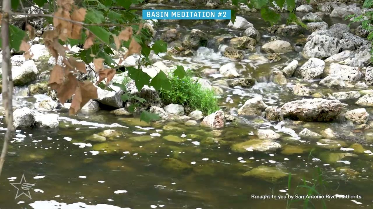
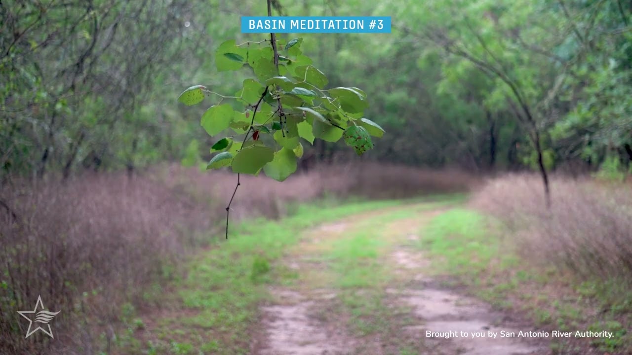
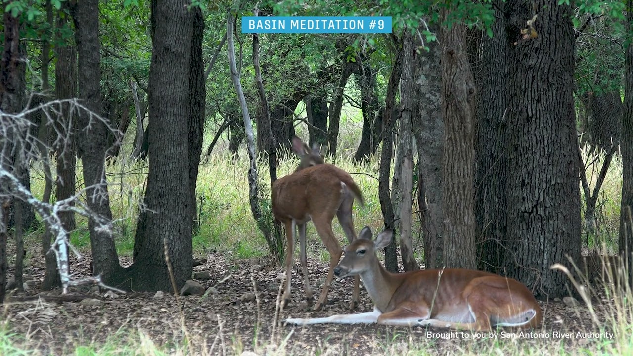
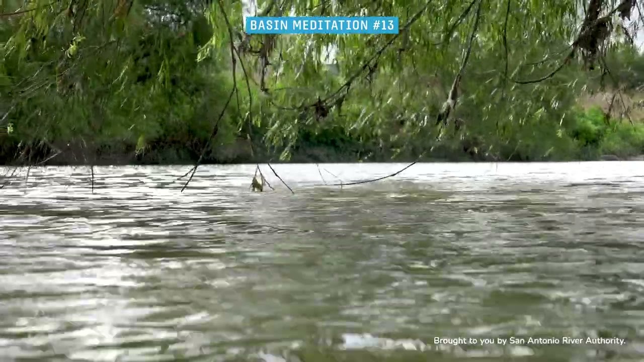
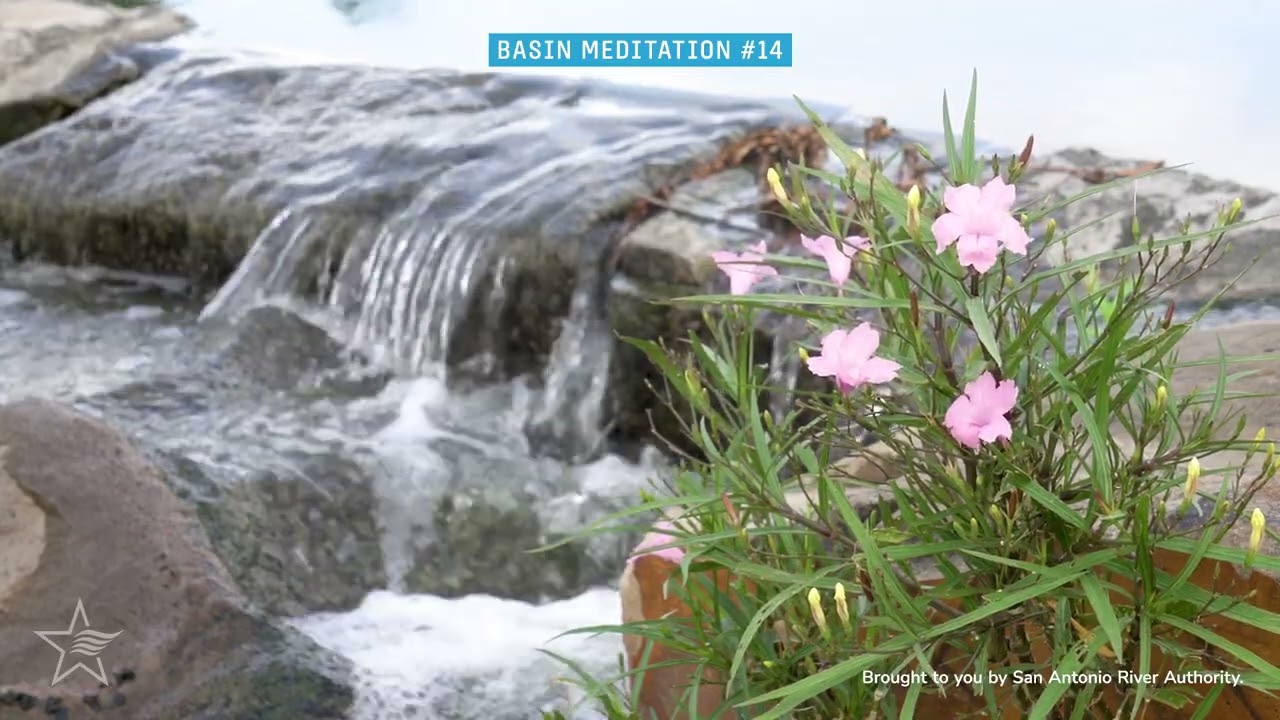
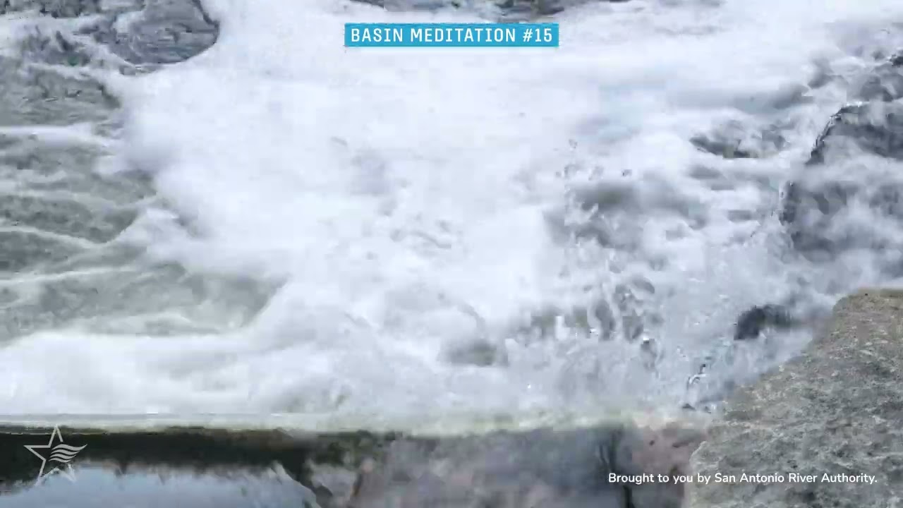
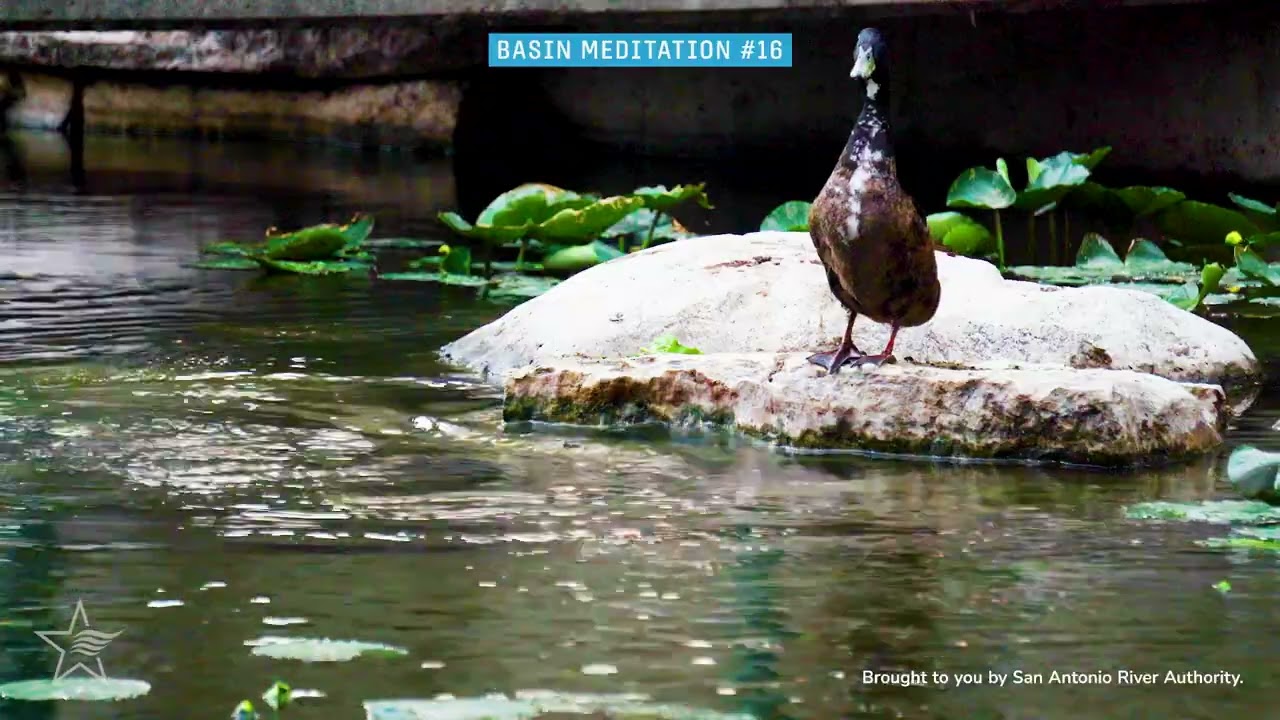
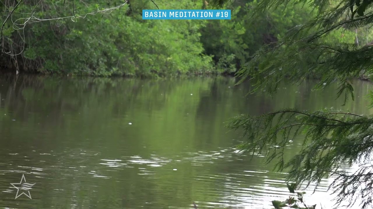
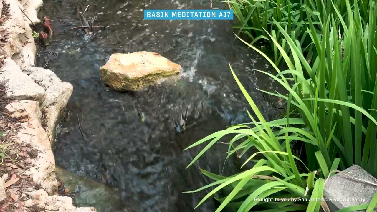
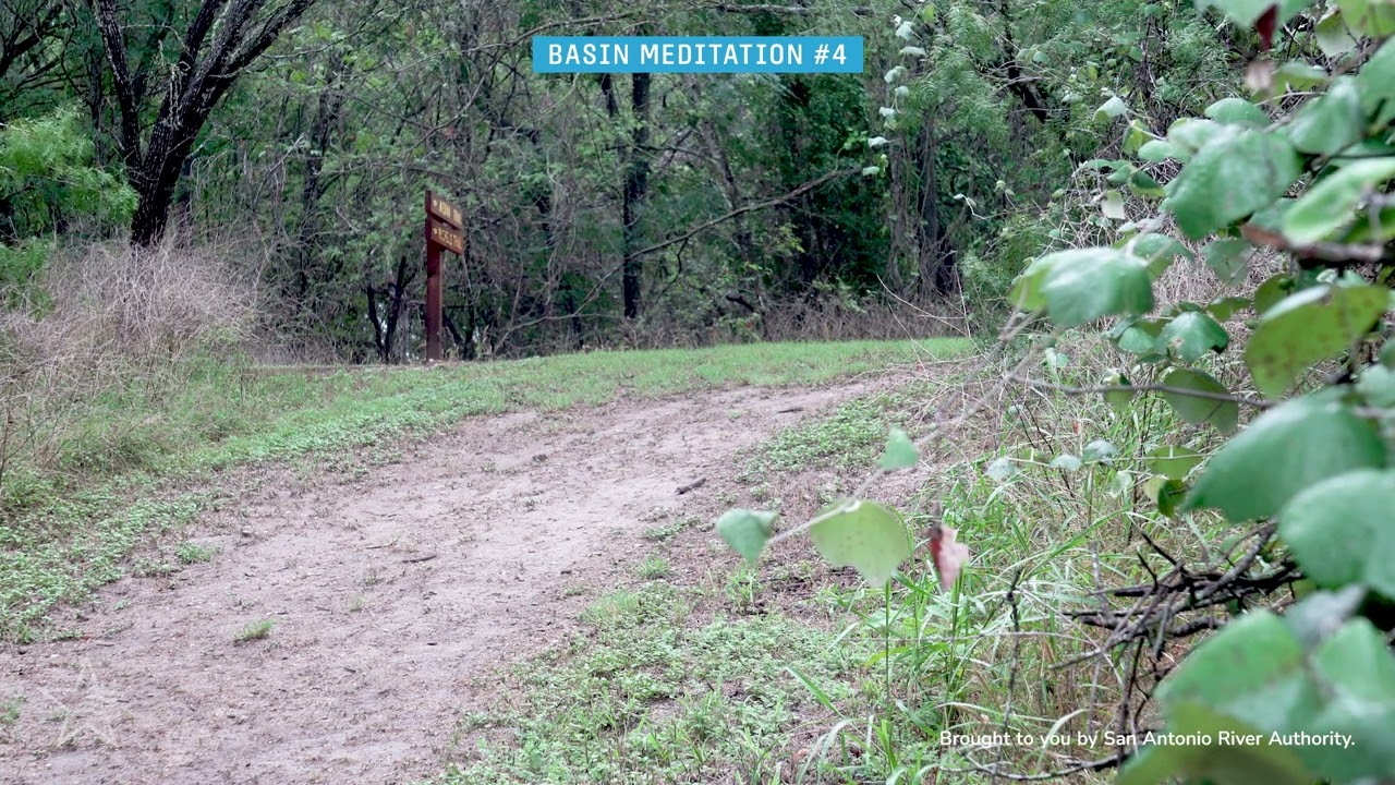
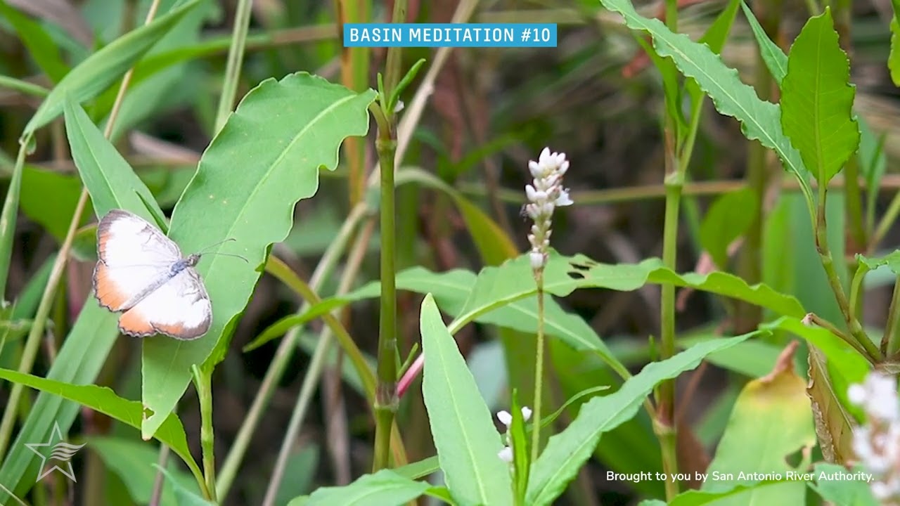
Your source of river relaxation

Unload the weight of the workday. Shake off the scroll-induced stress. If you don’t have the time to drop what you’re doing and go outside right now, at least take a moment to enjoy the sights and sounds of our river way—right from your phone or computer.

A butterfly on plants

Turn off your mind, relax, and let your thoughts float away — Basin Meditation brings the sights and sounds of the San Antonio River Basin right to your device.

The San Antonio River Authority is a tax-funded organization committed to providing “safe, clean, and enjoyable” rivers and creeks for over 80 years. It’s spearheaded partnerships, research initiatives, and projects that integrate public health with ecosystems and sustainability with economic development. The San Antonio River Authority’s jurisdiction covers over 3,500 square miles in South Texas and includes Bexar, Wilson, Karnes and Goliad Counties.


Press Play and Melt the Stress Away

Basin Meditation - Your Source of River Relaxation

19 Videos

Some content may feature non-native plant or animal life. This is a naturally occurring part of our river basin. The River Authority has processes in place to mitigate non-native species throughout the river basin.


Woman reading a book with headphones on

Tune in to Basin Meditations on Spotify


Map Your Way to a Meditation

Close
Find Nearby Share Location Get Directions Close

Alerts

Park Closure: Safety Notice

Safety Notice: The Lower River Access areas at River Crossing, Helton Nature Park and Graytown Park have been closed due to rising waters and potential flood risk.

Stay Weather‑Aware

We are expecting isolated showers and thunderstorms this weekend and into early next week. Heavy rains in short time spans may result in high water on roads and temporary closures at low water crossings. Before heading out, residents are encouraged to check SARiverFlood.org or their local county flood website for real‑time roadway conditions: These sites provide up‑to‑date information from flood‑monitoring sensors across the region. Real‑time updates are available 24/7 to help you stay informed as conditions change. Please use caution when traveling and plan routes accordingly.

Museum Reach: Fallen Tree

There is currently a fallen tree blocking the East bank trail between Newell and Camden Ave. The tree can be seen across from the Grotto public art piece. Crews are working to remove the tree. Please use caution around the area. fallen tree on walking trail

San Pedro Creek Culture Park

The east bank trail along San Pedro Creek will be temporarily closed between the upper trail at Cameron St. and the lower trail at two access points. Closure details:
  • The first closure will impact the connector from the upper trail near West Houston St. to the south lower San Pedro Creek trail.
  • Once work at this location is complete and the trail reopens, construction will shift to the second closure area between the upper and lower trails on the opposite side of the green space.
Please follow posted signage and plan alternate routes. We appreciate your patience as this work is completed. Closed areas around San Pedro Creek Culture Park

Trail Closure Alert – Calder Alley, San Pedro Creek

Maintenance work will be done in Calder Alley starting Wednesday, September 18, 2025.
  • Trails will remain open during this work.
  • One bench at a time will be temporarily barricaded while improvements are completed.
  • There may be occasional contractor pickups in the area.
We appreciate your patience as we continue to maintain and improve San Pedro Creek for all to enjoy!

SASPAMCO Paddling Trail

The SASPAMCO paddling trail is open from River Crossing Park to Helton Nature Park. *Please Note: Paddling Trail from Helton Nature Park to HWY 97 is still closed due to blockages. 

SASPAMCO Paddling Trail Temporarily Closed

Staff have removed two large log jams just downstream of Helton Nature Park, keeping the southern portion of the SASPAMCO Paddling Trail temporarily closed. Staff are working to contact adjacent landowners to support a land-based removal solution.

Goliad Paddling Trail Alert

NOTICE: HWY 59 Landing Site Closed Due to TxDOT construction on the HWY 59 Bridge, the HWY 59 landing site is closed until further notice. However, the Goliad Paddling Trail remains open, and paddlers can still access the river at the Riverdale, Ferry Street, and Goliad State Park landings. Please plan accordingly and check back for updates.

River Reach Newsletter and Blog Signup

River Reach is offered as a printed, physical mailing to your residence or business. The Blog is a weekly electronic email with news and updates in order to be more environmentally conscious. Please fill out the form below and indicate your preferred method of delivery.

By submitting this form, you are consenting to receive marketing materials from: San Antonio River Authority, 100 East Guenther St., San Antonio, TX, 78204, US. You can revoke your consent to receive emails at any time by using the SafeUnsubscribe® link, found at the bottom of every email. Emails are serviced by Constant Contact. This site is protected by reCAPTCHA and the Google Privacy Policy and Terms of Service apply.