Last Updated on March 31, 2023
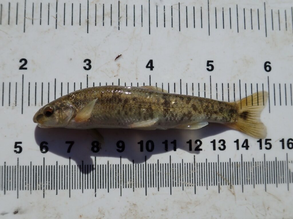
Central Stoneroller (Campostoma anomalum)
As part of our commitment to safe, clean, enjoyable creeks and rivers, the San Antonio River Authority (River Authority) Environmental Sciences Department recently conducted the annual Mission Reach Intensive Nekton Survey (MRINS). This survey was designed to monitor fish diversity with the hopes of identifying and documenting new fish species returning to the restored Mission Reach of the San Antonio River Walk.
Learn more about the Mission Reach Ecosystem Restoration and Recreation Project and how this study has helped show how the ecosystem has improved since the completion of this project!
Mission Reach Ecosystem & Restoration Project Background
The Mission Reach Ecosystem Restoration and Recreation Project is part of the San Antonio River Improvements Project, a $384.1 million investment by Bexar County, the City of San Antonio, San Antonio River Authority, the U.S. Army Corps of Engineers (USACE), and the San Antonio River Foundation in flood control, amenities, ecosystem restoration, and recreational improvements along 13 miles of the San Antonio River from Hildebrand Avenue south to Loop 410 South.
The project, which was completed in 2013, has increased the quality, quantity, and diversity of plants and animals (flora and fauna) along nine miles of the San Antonio River. The ecosystem restoration process was accomplished by restoring the natural pool, riffle, run sequences; reconnection of two historic river remnants; restoration of natural backwater habitats; and restoration of the native riparian corridor, including the planting of over 20,000 young trees. The Mission Reach project restores two types of habitats: riparian and aquatic.
Mission Reach Intensive Nekton Survey
Biologists also measure things like available habitat for fish. Aquatic plants and naturally occurring riffles provide excellent habitat for all kinds of important aquatic organisms.
From 1998 to 2013, conservation, engineering, and ecosystem restoration efforts have dramatically improved the San Antonio River ecosystem along the Mission Reach in many ways. A robust network of native riparian vegetation along the river helps to stabilize the banks and create a more resilient watershed. In the river, man-made riffles and paddling chutes oxygenate the water and create habitats for aquatic organisms. This success story is evident when looking at the rise of fish diversity in the Mission Reach area.
A variety of habitats that fish call home, such as pools, glides, runs, and riffles are sampled to ensure species inhabiting different areas within the river are collected. The River Authority’s aquatic biologists utilize seine nets and electrofishing equipment to capture fish that are then identified, measured, counted, and ultimately released. This data is then compared with results from previous years.
This year, a total of 27 fish species were found including seven new species compared to the previous year! The Amazon Molly, Channel Catfish, Flathead Catfish, Gizzard Shad, and Golden Shiner are some of the fish that have made a comeback in the area. One of the most exciting fish found was the Grey Redhorse, which has never been collected in the Mission Reach! Recreational fishermen can look out for the opportunity to catch these new fish species in the Mission Reach. The River Authority recommends catch and release recreational fishing to help ensure the continuation of healthy fish stock in the river.
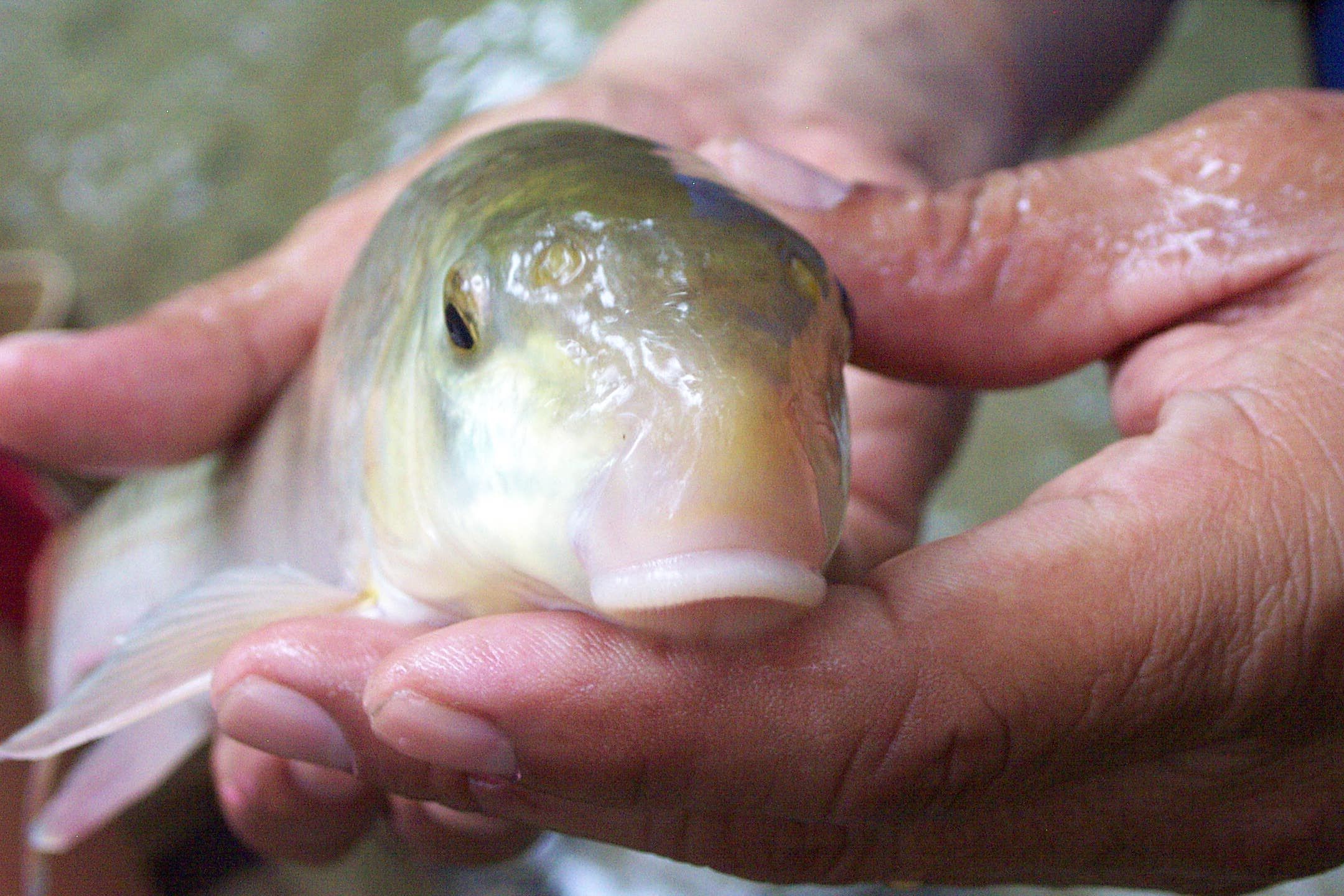
Gray Redhorse (Moxostoma congestum)
Biologists also collected Guadalupe Bass tissue samples that will be tested for an ongoing genetics project to understand their lineage. Unfortunately, finding new species is not always a good thing. Armored Catfish (Hypostomus plecostomus), a catfish native to South America, are invasive to the San Antonio River and were also captured during this year’s survey. Invasive species, when collected during fish surveys, are not returned to the river. Overall, these promising results show that the Mission Reach area supports healthy fish diversity and that new species are continuing to return to this stretch of the San Antonio River! This is further evidence showing the success of the ecosystem restoration project, which is proving that healthy, native habitats can be restored and thrive within large urban areas.