From the original completion date of the Mission Reach, in 2013, to now, there have been many technology updates and development of new information. As part of the adaptive management analysis, it is the River Authority’s duty to maintain the most recent and accurate data. LiDAR, which stands for Light Detection and Ranging data, is one of the many tools the River Authority uses to collect information in our efficient management of flood mitigation areas. The most up-to-date floodplain modeling and maps are based on the latest LiDAR data which was taken in 2017.
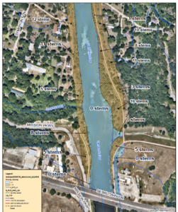
By utilizing the most up-to-date floodplain maps, along with other engineering software and on-the-ground evaluations, the vegetation zones along the Mission Reach were reviewed and updated stem density values were determined for stem count per acre that must be achieved to maintain the project’s top federal priority, which is flood protection. These maps show areas that were determined as highest priority for the tree removal, and they are what our Watershed & Park Operations staff are using to determine where and how many stems to remove. You can see from the example below that the maps are very specific about how many stems are acceptable in each area to maintain the flood conveyance capacity of the river.
Trees are being removed from these areas to meet the regulatory requirements of the USACE and the Federal Emergency Management Agency (FEMA). A majority (90%) of the trees removed from these areas are “volunteers” that started to grow independently and were not planted as part of the Mission Reach project. The Mission Reach was always anticipated to be a highly dynamic system that is continually changing, just as a naturally functioning river should be. The ever-changing dynamic of the natural processes of the restored San Antonio River, sediment buildup, and natural growth (i.e., volunteers) of plants and trees required us to alter the Mission Reach’s originally designated planting zones to maintain the balance of ecosystem restoration and flood
conveyance that the U.S. Army Corps of Engineers (USACE) originally created. Put simply, things are not the same now as they were when the Mission Reach was originally designed in 2008. For example, while trees were not originally planted along the riverbank, volunteer trees have naturally grown in and are now providing important bank stabilization. To take advantage of the natural protection that has grown into the river, we are adaptively managing vegetation higher up on the bank to maintain proper flood conveyance.
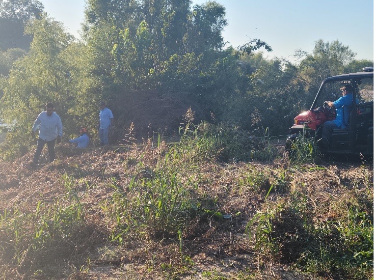
The stem density removal work utilizes a combination of mechanical and hand labor for the removal including two forestry mulchers (mechanical) and hand removal where required at the water’s edge. All the material is being mulched and left onsite to facilitate the quick recovery of the grassland restoration. Roots will remain in place for bank stabilization, and upon completion, remedial seeding and live planting will take place to expedite the grassland restoration.
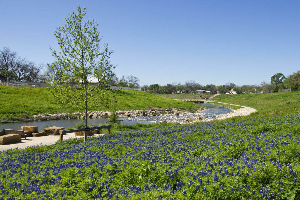
These areas area being restored to a native grassland prairie habitat and will contain minimal woody vegetation to ensure the proper conveyance of floodwaters, meeting the project’s primary objective. This grassland vegetation is also an important part of the project’s habitat diversity, and even without stems, these areas will continue to support avian migration, other wildlife, and the ecosystem restoration goals of the overall project.
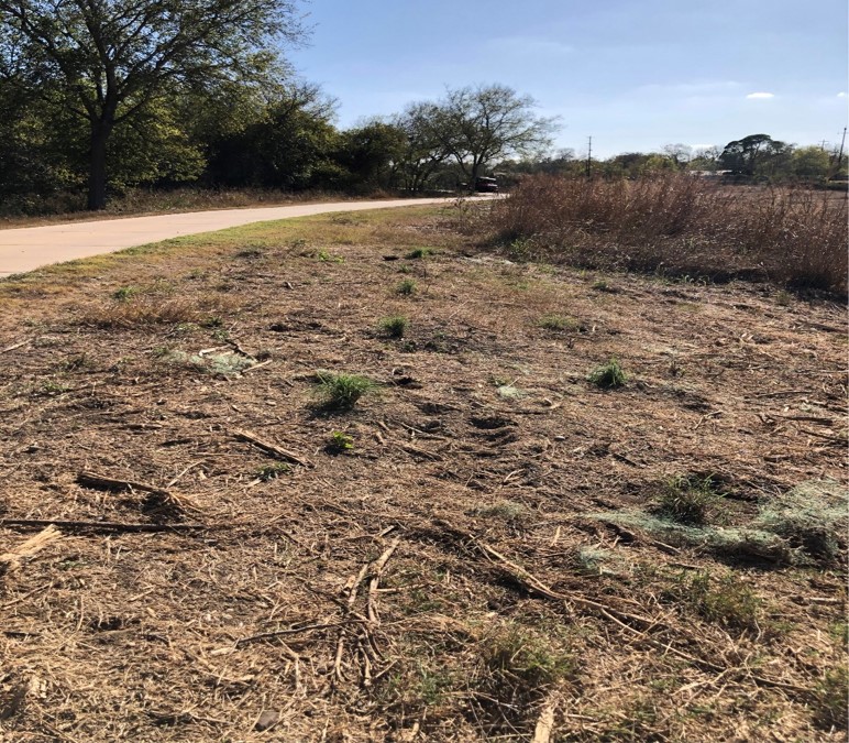
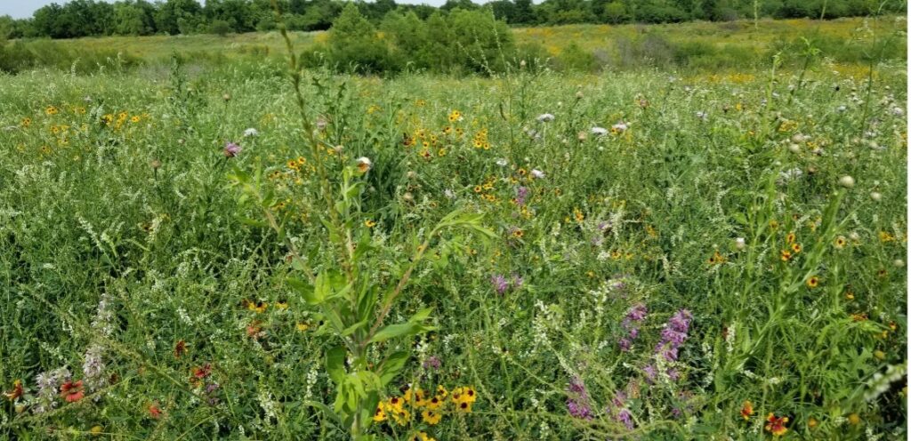
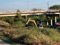
The River Authority conducted similar stem density removal work in other areas of the Mission Reach in the Fall of 2020, and the photos below demonstrate how quickly the grassland restoration can grow.
Before: Stem density removal work completed along the Mission Reach in Fall 2020.
After: Spring 2021, just months after the 2020/21 stem density removal effort.
Viewshed Maintenance
The San Antonio River Authority (River Authority) conducts routine Viewshed Maintenance along the Mission Reach as intended through project design and interpretation as part of the Mission Reach Ecosystem Restoration and Recreation project. The River Authority manages this project through various measures such as Stem Density Removal and Prescribed Burns. Viewshed Maintenance is a form of stem removal in areas where there are interpretive paneling and overlooks for people to view different parts of the river have become overgrown by volunteer vegetation. Volunteer trees and vegetation need to be removed from these areas in order to meet the regulatory requirements of the USACE and FEMA, along with the intended use and viewable opportunities the project offers. The River Authority’s Watershed and Parks Operations (WPO) Department uses a combination of mechanical and hand labor for the removal. All the material is then mulched and left onsite to facilitate the quick recovery of the grassland restoration. Roots will remain in place for bank stabilization, and upon completion, remedial seeding and live planting will take place to expedite the grassland restoration.
Currently, areas of the Mission Reach receiving maintenance will begin from Mission Rd. moving North to Alamo Rd. along the San Antonio River. On Monday, November 14, 2022, the maintenance will begin just North of Mission Rd. and will continue through the middle of December to Alamo Rd. The maintenance should finish up by the end of December or beginning of January with cooperating weather.
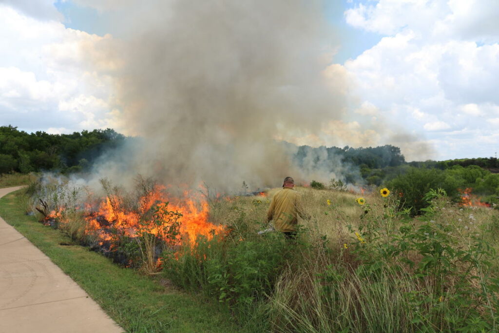
Fire Ecology: Benefits of Prescribed Burning
Native plant communities, and particularly grassland systems can benefit from periodic, low-intensity fires and other natural processes that reduce competition from taller plants and trees. Land managers use fire ecology for restoration purposes through a process called prescribed burning. Prescribed burning is a controlled, planned, and scientific management tool widely used to manage vegetation under very specific and safe conditions. When used as part of an adaptive management program, prescribed burning can result in an overall healthier landscape by removing dead plant material, restoring nutrients to the soils, and suppressing trees as well as some non-native species.
Fire Brings Renewal
Mission Reach Success Stories
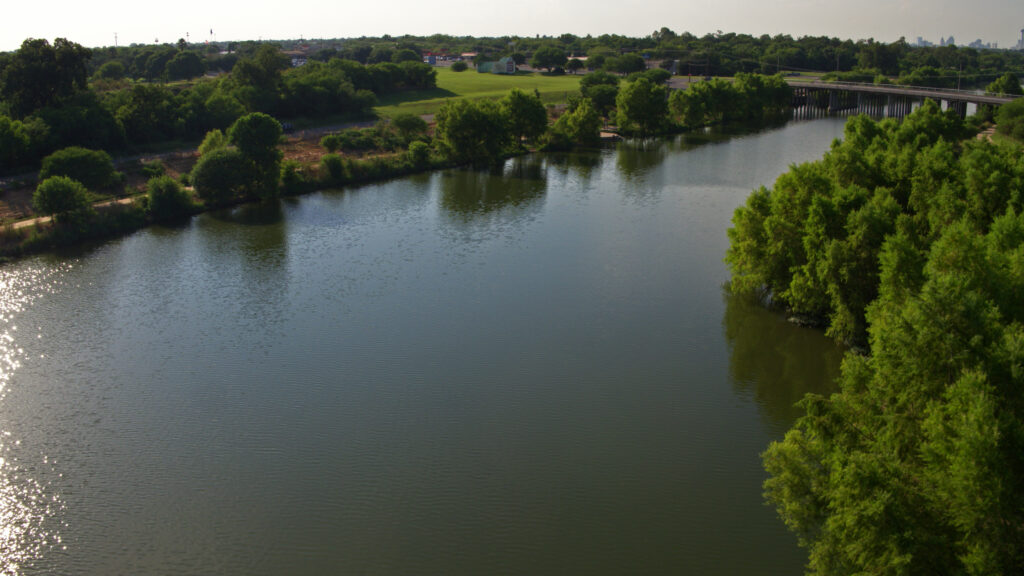
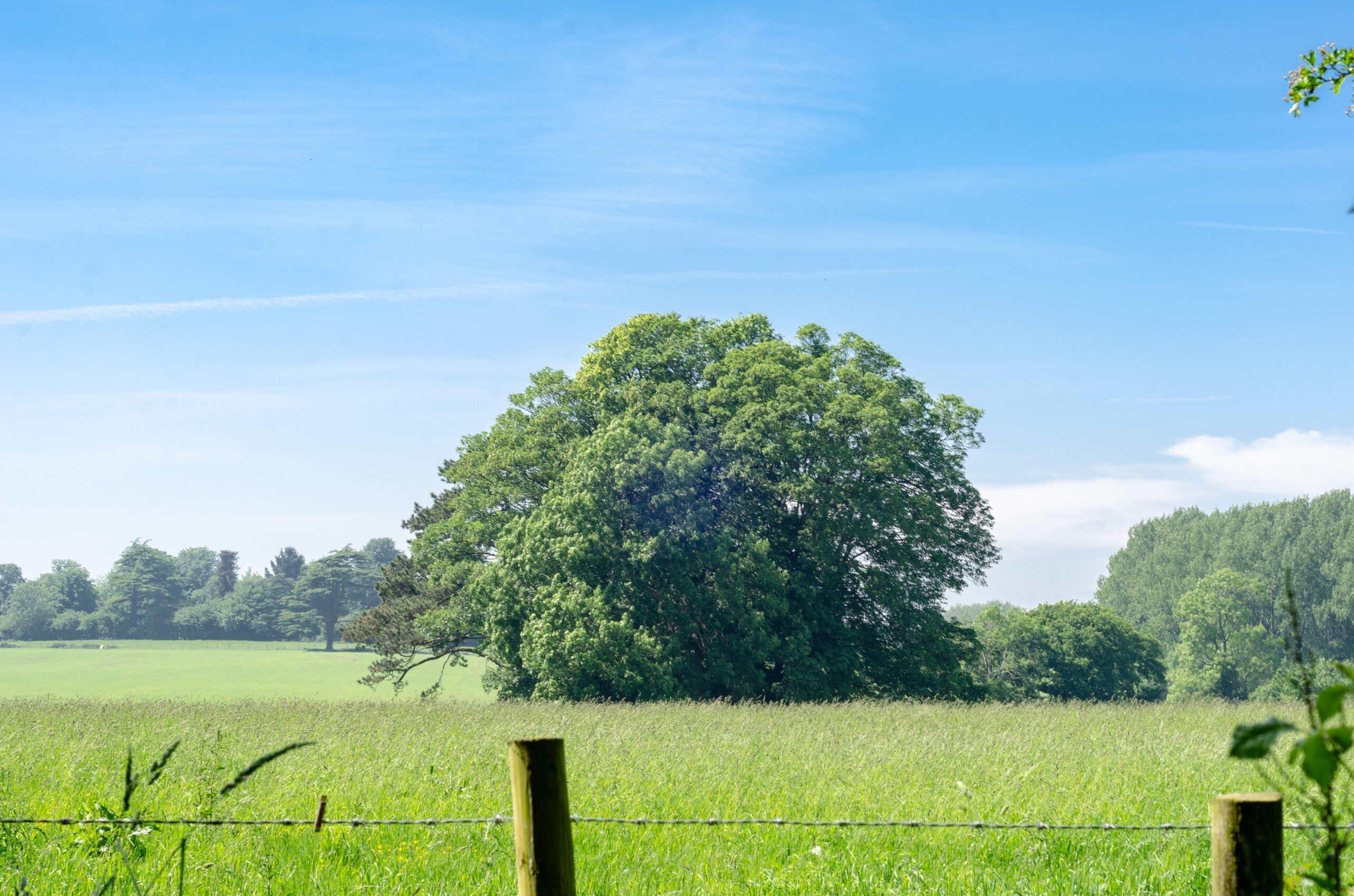
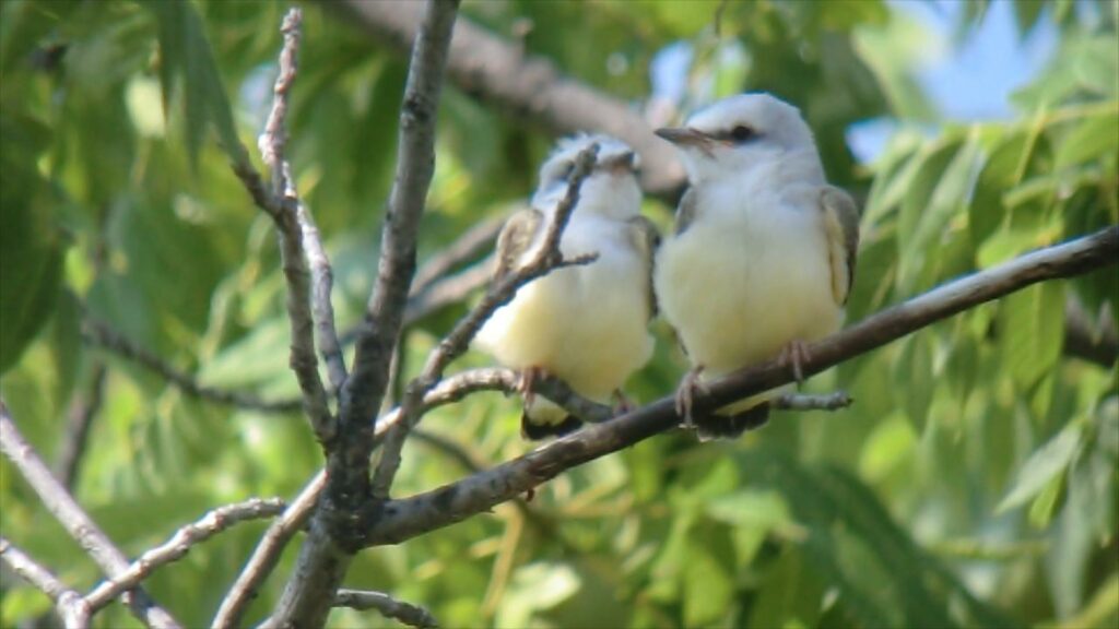
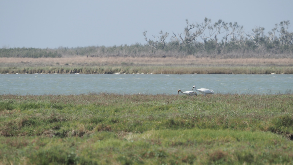
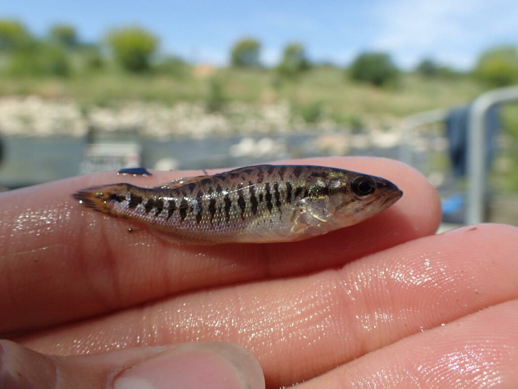
The Mission Reach Ecosystem Restoration and Recreation Project expanded the San Antonio River Walk and transformed the San Antonio River into a thriving ecosystem. The restored river is currently providing a habitat throughout the year for a wide variety of wildlife, especially for many different types of birds. In 2015 the San Antonio River Authority began a multi-year study of the birds within the Mission Reach to document which species are using the restored habitat. Both resident and migratory birds, including wintering species, summering species and those just passing through, have been recorded. Among those, a variety of species indicative of the project’s success have been identified including habitat generalists, habitat specialists, shy species and range restricted species. To learn more about the Mission Reach Avian Study, please click the link below.
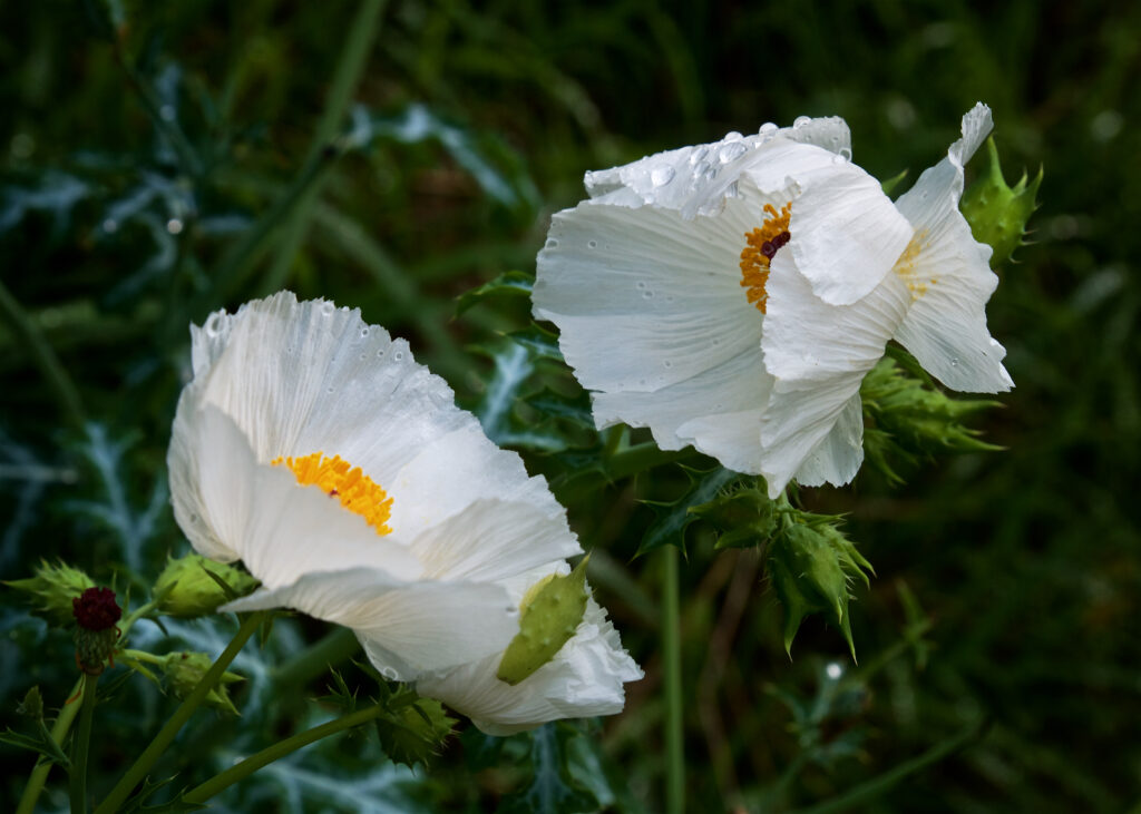
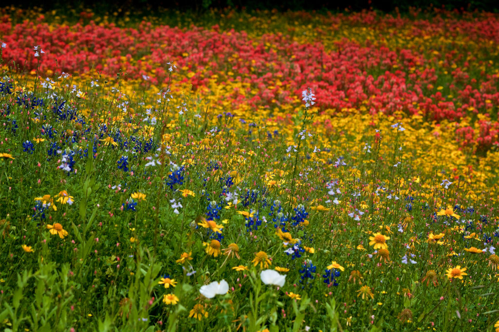
Native Plants for Ecosystem Restoration
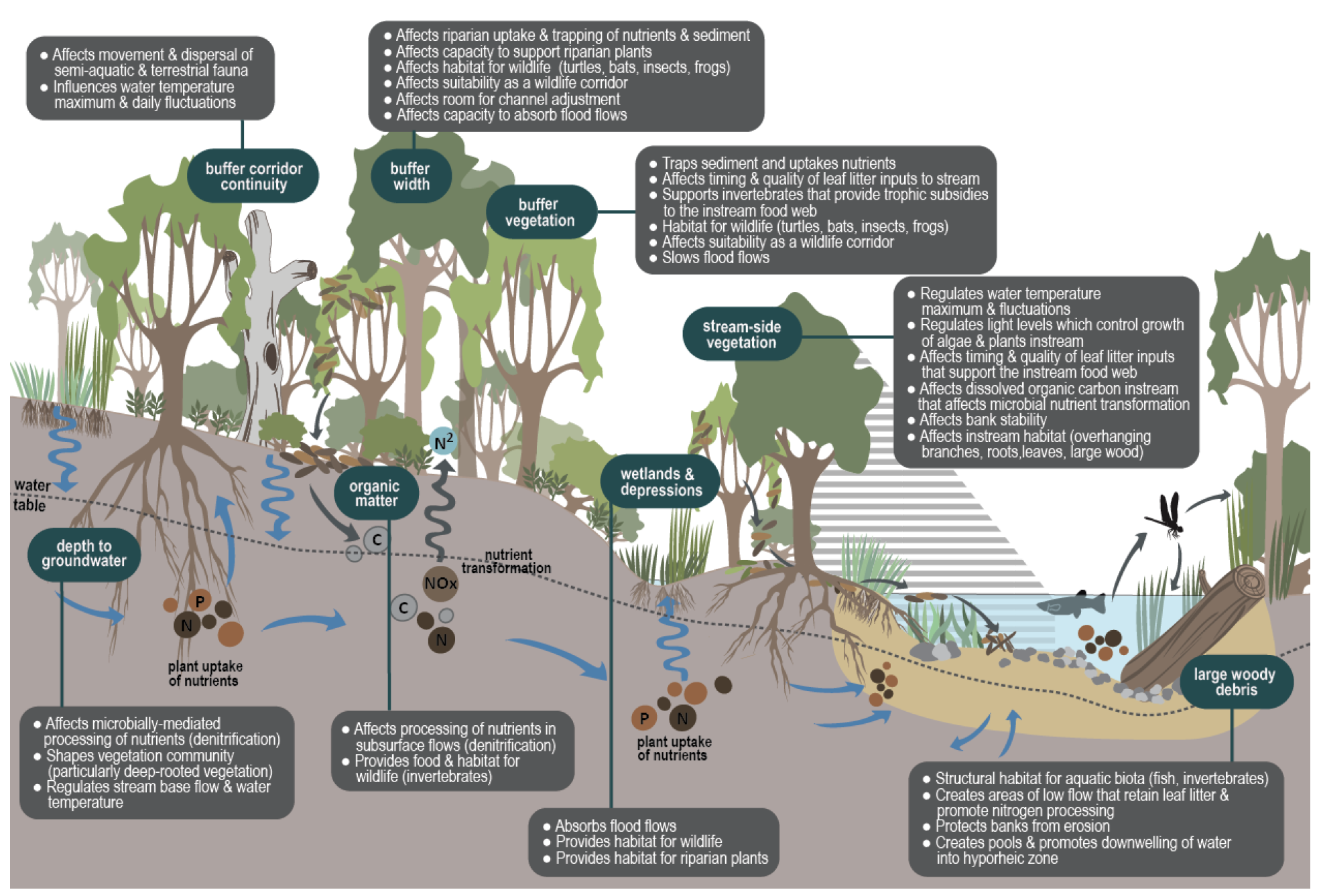
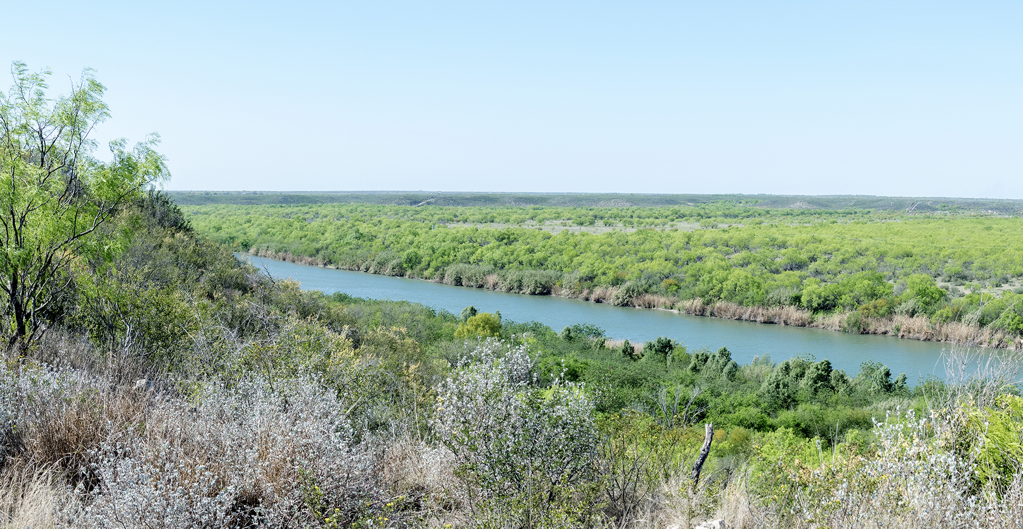
Ecosystem restoration projects typically include the installation of native plants that are appropriate for a particular area, and require long term stewardship to protect the investment made by ensuring the restored plant communities remain healthy. The Mission Reach project includes over 350 acres of plantings consisting of a variety of native plants intended to create a high quality riparian ecosystem. The vegetated slopes help reduce stormwater runoff velocities, and filter sediments and pollutants from runoff. In addition to those benefits, many of the native riparian plants will develop deep root systems that provide stabilization and reduce erosion and sedimentation into our river. Overall, the native plants provide benefits for both water quality and wildlife.
The intent of the restoration plantings in the Mission Reach is to restore an overall native riparian woodland plant community, with some areas planted very densely with trees and shrubs while other areas will remain grassland. These planting approaches will result in a diversity of habitat types throughout the riparian corridor that will provide homes for wildlife species but will not negatively compromise flood water conveyance. The species were selected based on their historic occurrence in the area as well as their compatibility with various site conditions.
Some of the native plant species are small and won’t grow more than a few inches in height, whereas other species may grow taller than eight feet. The greatest amount of wildflower coverage is typically seen in the spring, but there are a number of plants that will flower during summer, fall, and even winter in some years. Grasses are generally more apparent in late summer and fall when seed heads of many of the species will be visible.”
Biodiversity
The weather in San Antonio is extremely dynamic, and climate conditions will affect the vegetation communities in positive and negative ways. As a result of seasonal changes as well as the potential for excessively wet or excessively dry conditions, the vegetation will very likely look different from month to month, and from year to year. A diversity of native species should result in a somewhat self-sustaining plant community that is able to withstand the local conditions. Conditions will favor certain plant species at different times and the more native species present, the greater the chance that conditions will be good for one or more of the species. Over time, a dynamic, diverse and healthy ecosystem should result from the management efforts aimed at achieving native plant coverage and biodiversity.
Over 20,000 individual native trees and shrubs have been installed as seedlings/saplings which are relatively small. Some tree and shrub species grow quickly while others grow very slowly. Some of the species are not readily visible for a few years after planting due to the larger size of surrounding grasses and wildflowers. Many of the tree and shrub species have interesting and attractive flowers, berries, seeds and leaves that will vary through the seasons and between years. Local climate conditions will play a large role in how these plants will look and change through time, and some areas of the project will not reach maturity for perhaps fifty years.
Non-Native Invaders
One of the greatest challenges in restoring a diverse, native-dominated plant community within the project is controlling invasion by non-native plants coming in from upstream and surrounding areas. Many of these non-native plants have escaped from yards or are plants that have been developed and introduced into the environment for various purposes such as livestock forage, quick soil stabilization and improved aesthetics.
These plants will always be present in the project areas at some level due to their overwhelming presence in the environment and ability to establish themselves in natural areas, but the project aims to manage them such that they do not compromise the integrity of the restored native ecosystem. In order to accomplish this, a variety of methods are used to control unwanted plants in an effort to sustain an overall diverse native-dominated plant community.
Aquatic Habitat
In addition to hundreds of acres of restored riparian corridor plant communities, the Mission Reach Project includes over 100 acres of constructed aquatic habitat features including riffles, pools, runs and embayments (aquatic features that provide backwater and/or wetland functions) to improve the ecosystem. The structural and spatial diversity of these features provide an important habitat for numerous species.
Monarchs
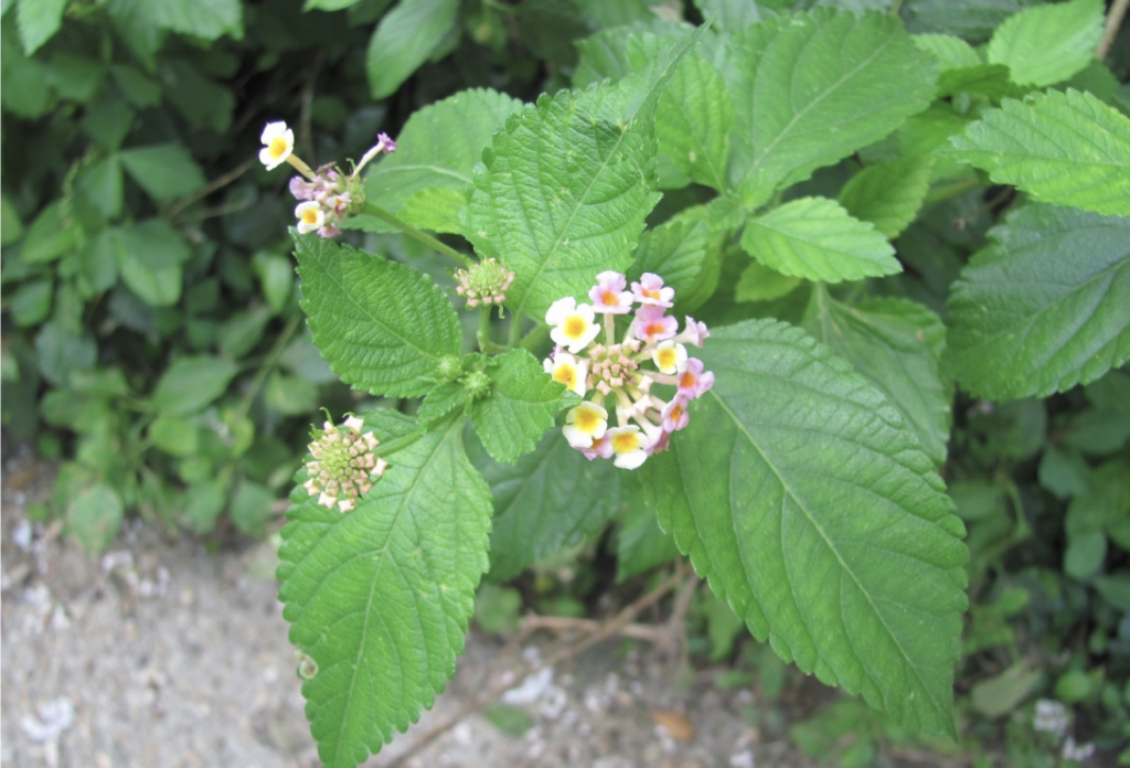
San Antonio is located in the “Monarch Funnel” of the monarch migratory flyway. In the region, monarch habitat is provided by both larval host plants and nectar plants during the spring migration, and primarily nectar plants during the fall migration. Two of the best native nectar plants for both spring and fall migrations are Gregg’s Mistflower (Conoclinium greggii) and Mealy Blue Sage (Salvia farinacea). All of the plants that support monarchs also provide benefits for many other pollinators, including numerous species of butterflies, bumble bees and other native bees.
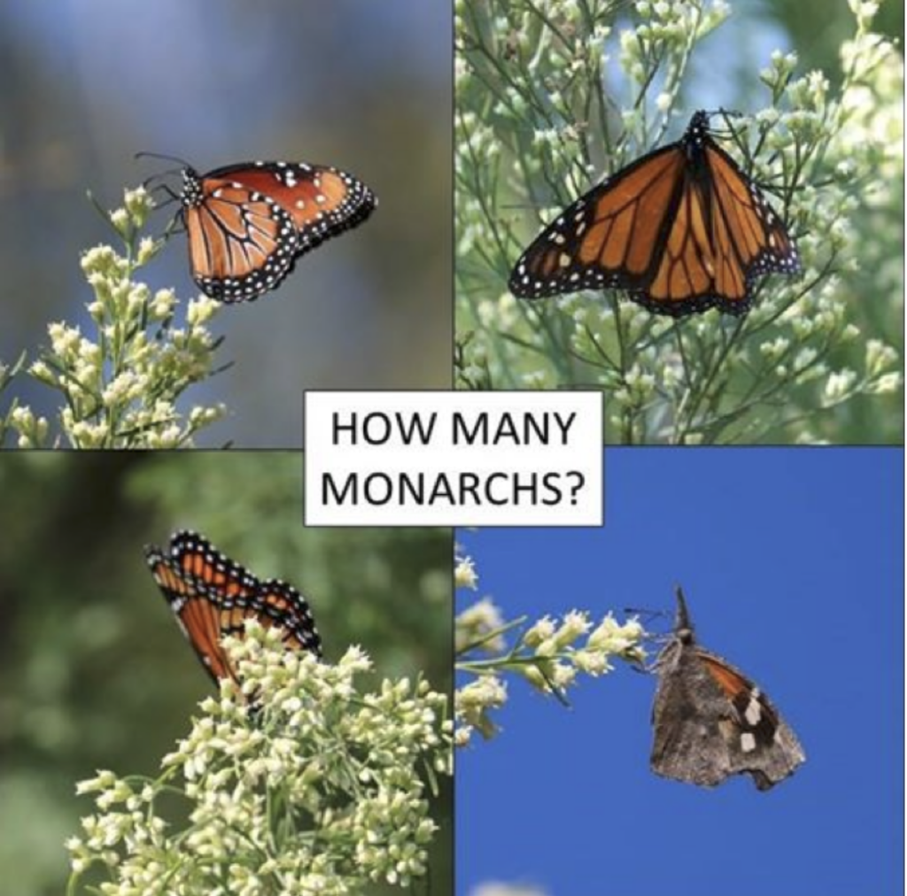
Can you identify which of the butterflies in the graphic above is a Monarch?
Upper left: Queen – a close relative of the Monarch and even shares larval host plants
Upper right: Monarch
Lower left: Viceroy – a mimic of the Monarch, not closely related
Lower right: American Snout – often confused with Monarchs when dense American Snout butterflies are migrating during the fall
During the spring migration in the San Antonio area, monarchs look for specific plants to lay their eggs on. These plants are called larval host plants and for monarchs, they consist of a variety of native milkweed species. The most common native milkweed plants that are generally available at local nurseries include: Texas milkweed (Asclepias texana) and Butterflyweed (Asclepias tuberosa). There are other native milkweeds found in the wild that are currently not readily available in the local nursery trade but can sometimes be found at local native plant sales. Examples of these species include Antelope horns (Asclepias asperula), Zizotes milkweed (Asclepias oenotheroides) and Green milkweed (Asclepias viridis).
What Do Birds Need?
- Places to feed, breed and rest
- Variety of aquatic and upland habitats from open grassland to dense woodland
- Year-round opportunities: Winter, Summer, Migratory
- Notable records include: Interior Least Tern, a Federally-listed Endangered subspecies of Least Tern; Black-capped Vireo, a State-listed Endangered Species; Cassin’s Kingbird, a western species that had only been recorded once in Bexar County prior to the recorded observation in the study; Lazuli Bunting, a passage migrant that is very rare in the eastern two thirds of Texas; Tricolored Heron – a rare winter species for the area; and the Bald Eagle.