

Last Updated on March 12, 2026
This series provides readers the opportunity to learn about the unique insight and experiences of the San Antonio River Authority (River Authority) Board of Directors and their personal connection to the San Antonio River in hopes of inspiring stewardship of area creeks and rivers.

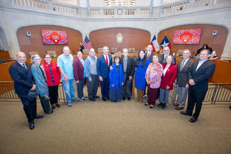
Michael Lackey, Bexar County Board Member
Michael W. Lackey, P.E. is Principal of Lackey de Carvajal Cx (LCCx), an Energy Efficiency Engineering firm. As a LEED Accredited Professional, Lackey verifies that complex building systems perform as intended to achieve energy and water efficiency, reduce CO2 emissions, and improve indoor environmental quality. Lackey was also a River Authority-appointed Board Member of the San Antonio River Foundation, where he served in several capacities, including Chairman. Additionally, Lackey served on the San Antonio Water System Board of Trustees from 2001 to 2009 before being elected to the River Authority board in 2009.
Lackey, a native and life-long San Antonian, is a Central Catholic High School graduate. He holds a Bachelor of Science in mechanical engineering from Texas A&M University and an M.B.A. from the University of Houston.
How does the River Authority show commitment to the community’s safety?
A key provision of the River Authority’s enabling legislation is flood control of the river; we take that charge very seriously. We work closely with our partners at the city and county levels, assisting them with implementing flood programs across our four-county jurisdiction. The River Authority is very active in planning and implementing flood control programs. In the last several years, we have focused on emergency planning and predictive models and the development of tools for local floodplain administrators, emergency management coordinators, and state agencies.
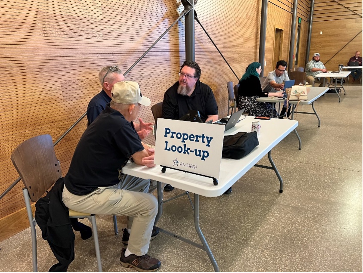
These tools are used to notify citizens directly impacted by a critical rainfall event. We will continue to further develop methods to assist the local communities with the efficiency and speed of their emergency notification system.
What motivated you to serve on the River Authority board?
My service on the River Authority Board comes from a unique perspective. I had the pleasure of previously serving on the San Antonio Water System (SAWS) Board of Trustees. While on the SAWS board, we interacted extensively with the River Authority in region-wide water supply planning projects. At the time, the River Authority was facilitating complex water supply projects. I was intrigued by the design, engineering, and planning that the River Authority was doing to execute these complicated water plans that would benefit the whole region well into the next several generations.

After my term on the SAWS board expired, I was approached by the late former Chairman of the Board, Tom Weaver, and told that the River Authority board could benefit from the input and representation of a professional engineer. I was flattered, of course, and on several water mentors’ advice, I decided to attempt a run for the open position in Bexar County Precinct 3. It was an exciting experience, and I highly recommend anyone and everyone who has the urge to run for public office to do so.
It is an immense privilege to represent my fellow citizens, and it was a remarkable process running for public office. I became aware of the intricacies of our election system and how elected representatives present themselves to the electorate. It was a tremendously informative civics lesson and instilled in me a crucial understanding of our precious voting system in this country.
What San Antonio River Basin Report Card metric do you find most interesting?
My passion and professional work are in the sustainability of the built environment. As a professional mechanical engineer, I deal with energy-using systems in a building. So, Green Infrastructure is the most interesting River Authority basin report card metric to me. The area I work in within the sustainability program is the Energy and Atmospheric aspect, but certification focuses on several different areas in the built environment. One of the primary focuses of any sustainability program is Site Sustainability. The River Authority has developed many tools and techniques for general engineers, property owners, and developers to utilize in making their sites sustainable.
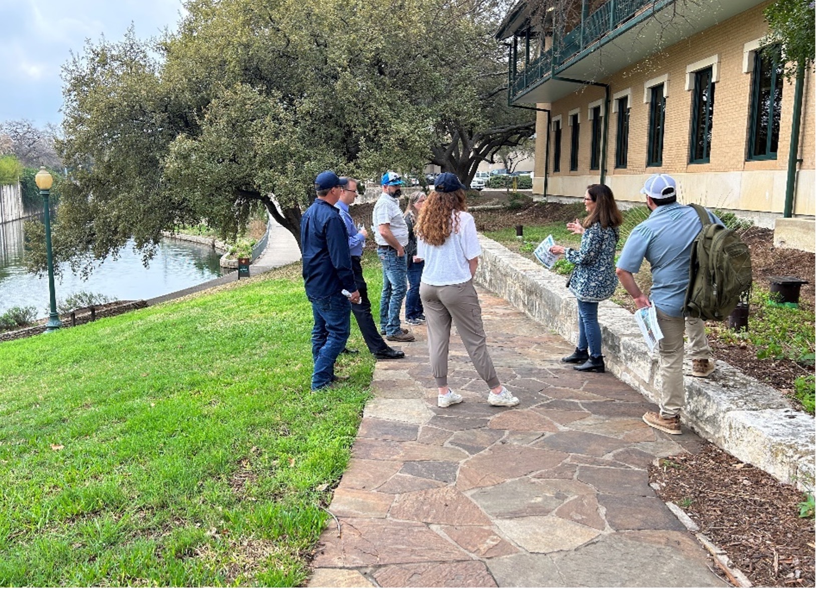
We have an especially strong interest in any facilities in the River Improvement Overlay (RIO) districts. As an agency, we focus on those properties closest to the river, which significantly affect the runoff into our precious freshwater resources. We constantly work with different entities to ensure that the effluent exiting these critical properties is clean.
What is Your Favorite Way to Get involved with the river’s Creeks and Trails?
I greatly appreciate the opportunities the River Authority has provided to the citizens of our four counties. Our river’s parks and trails provide me and many others with a fantastic way to appreciate nature. I am an avid hiker and photographer, often taking my dog and camera out on the trails.
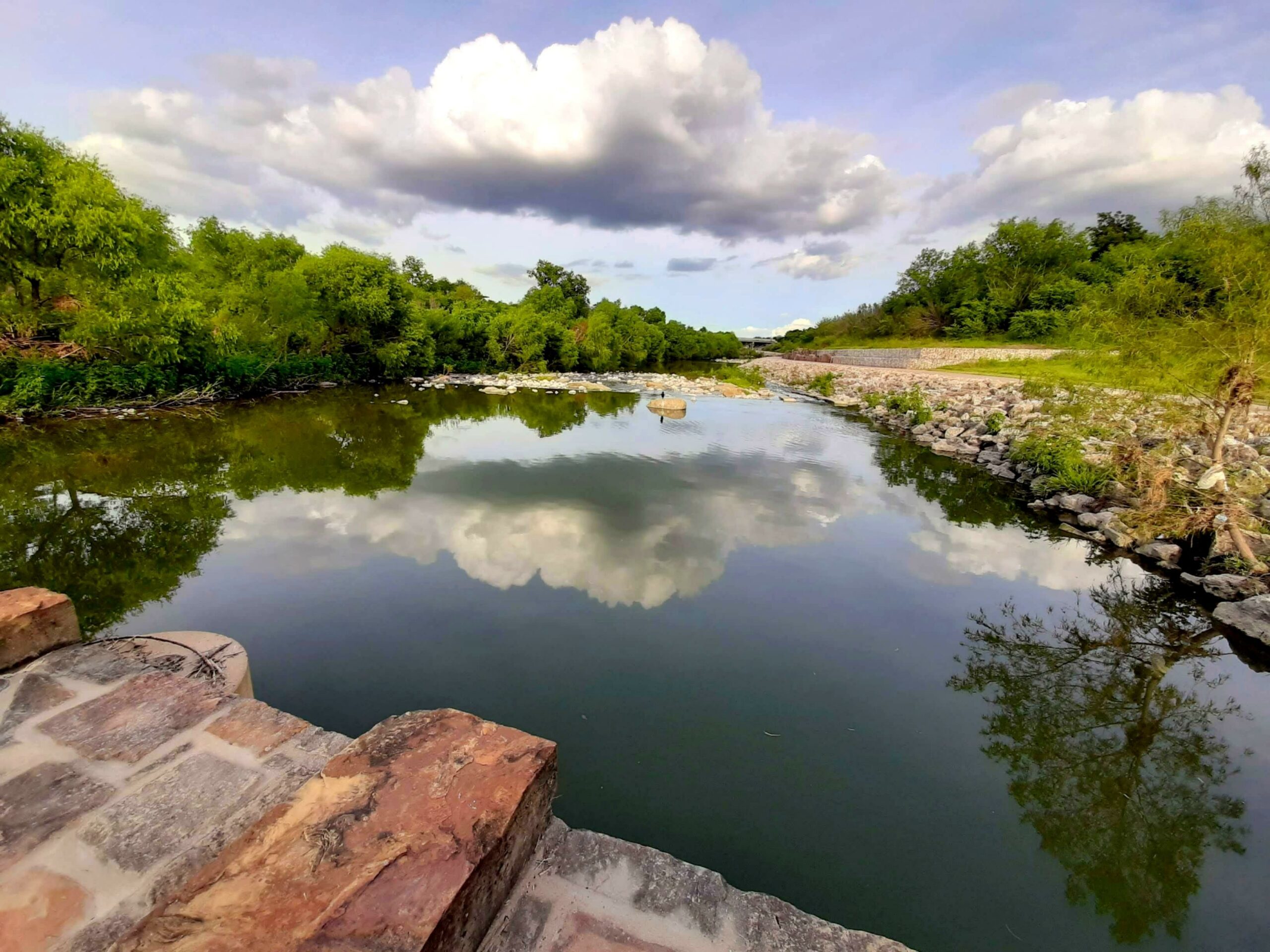
I enjoy being out on the river early when the sun comes up or late as the sun goes down. I love to take pictures of sunrises and sunsets. I am especially intrigued by the interaction of clouds and sunlight. My favorite trail is the lower Eagleland trail; I’ve walked almost every inch. My favorite spot is at the bend of the San Antonio River near the tunnel outlet at Roosevelt Park. It is dynamic and picturesque, like many of our creeks and trails.