Access Information
Launch and Recovery Area:
Between Eagleland and Lone Star (approximately 20 feet north or railroad bridge)
Boundary:
San Antonio River Walk – Eagleland zone from Lone Star railroad trellis to Alamo Street
Paddling Trail Amenities:
- Canoe Shoots or riffles: YES
- Landscape Type: Rural
- Cell Phone Access: YES
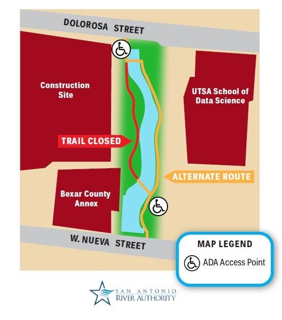
Paddling Trail Map:
Paddling Trail Details:
- Difficulty: Beginner-Friendly
- Distance: 0.50 miles
- Float Time: 40 minutes
Downloadable Resources:
San Antonio River Basin Guide
A collection of parks, trails, and historic destinations throughout the San Antonio River Basin, including Bexar, Wilson, Karnes and Goliad Counties as well as the San Antonio River Walk (Downtown, Museum Reach and Mission Reach).
Share:
Facebook
Twitter
LinkedIn
Email


