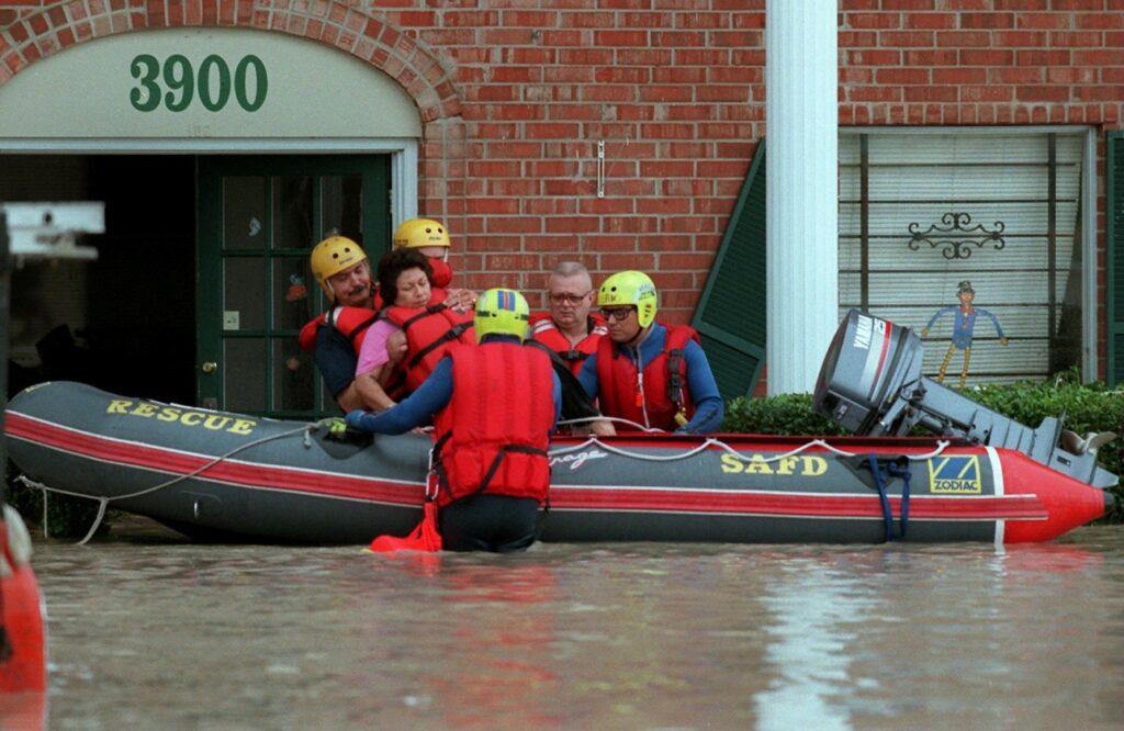
San Antonio Fire Department conducts rescues during major flooding in 2002. Photo credit: San Antonio Express-News
The San Antonio River Basin is made up of a complex arrangement of creeks and rivers and their corresponding watersheds. The San Antonio River Authority (River Authority) developed the San Antonio River Basin Report Card in 2020 from the agency’s drive to harmonize the needs of people and nature through our stewardship of rivers and land. The main purpose of the San Antonio River Basin Report Card is to shine a light on the healthy and the unhealthy aspects of the basin to educate the public and serve as a catalyst for community discussions that lead to individual choices and public policy decisions, actions, and investments that support a sustainable San Antonio River Basin.
The 2021 San Antonio River Basin Report Card was released on the last weekend in September to correspond with World Rivers Day. The overall grade for the 2021 San Antonio River Basin Report Card is a “B,” which is the same as it was last year. This grade is the average of twelve individual indicator grades. With each annual basin report card, the grades for the indicators will show trends clearly demonstrating where progress is being made and where improvements are still needed. Each month, we will be highlighting a specific indicator and its grade to help provide insight and to share how you can help by joining us in our efforts towards improving the health of area creeks and rivers.
Basin Report Card 2021 Highlights – Flood Insurance
The San Antonio River Basin is part of a region known as Flash Flood Alley. The dangers and devastation of flooding are a very real risk for the communities we serve. Therefore, the River Authority, as a regional entity, works with the federal government and leaders in Bexar, Wilson, Karnes, and Goliad counties to address flooding on a regional basis.
For the 2021 San Antonio River Basin Report Card, the grade for flood insurance coverage was an “F.” This grade was calculated by using the 2018 Insurance Information Institute Pulse survey and the number of flood insurance policies purchased on an annual basis within communities that FEMA publishes. The River Authority, on an annual basis, receives single-family and multi-family homestead statistics from the county appraisal districts. Using all this data from Fiscal Year 2019-20, this basin report card grade is determined by dividing the number of known flood insurance policies by the number of homesteads in each county of our jurisdiction. This percentage of flood insurance coverage by county within our district is then divided by the national average of 15% and finally multiplied by 100 to obtain the score by county. The four county scores are then averaged to identify the overall basin-wide grade for this report card.
This metric received a failing grade because homeowners within the San Antonio River Basin are well-below the national average for having flood insurance coverage. Given the tragic history of flooding in this region, particularly in Bexar County, a key finding is that this grade indicates an under-insured population, with regards to homeowner flood insurance.
How can I learn more about flood insurance and flood risk?
The River Authority collaborates locally with the Federal Emergency Management Agency (FEMA) as Cooperating Technical Partner, and in this partnership, we have developed the Digital Flood Insurance Rate Maps (DFIRMs) for the San Antonio River Basin. This information is found on the River Authority’s floodplain viewer, and it shows the area associated with the 1% Chance Annual Storm, otherwise known as the 100-year floodplain. Citizens can use the floodplain viewer to determine if they will be required to get flood insurance, particularly if they have a federally backed mortgage.
Floods continue to be the most common and costly natural disaster in the United States. According to the FEMA, there is some level of flood risk no matter where you live or work. In fact, about 25% of all flood insurance claims come from areas with minimal flood risk. Therefore, the River Authority supports FEMA’s recommendation for homeowners to participate in the National Flood Insurance Program.
You can also learn more about flood risk in your area. The Risk MAP viewer created by the River Authority in cooperation with FEMA allows a property owner to determine the level of flood risk across the life of the 30-year mortgage. The River Authority encourages homeowners to assess their home’s flood risk. Want to learn more? Visit our website to view information about the science of flood management and our flood risk engineering studies.
Together, we can achieve and maintain good grades in the annual San Antonio River Basin Report Card by focusing our collective community attention on improving areas that are scoring low. We invite you to view the full report card and learn more about the indicators, including what you can do to help next year’s overall grade improve!