While all the metrics in the San Antonio River Basin Report Card have overlapping correlation to the safe, clean, enjoyable creeks and rivers aspects of the River Authority’s mission, the Paddling Standard grade is primarily related to the clean and enjoyable aspects.
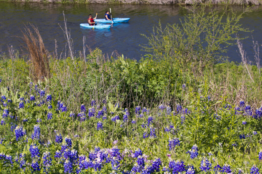
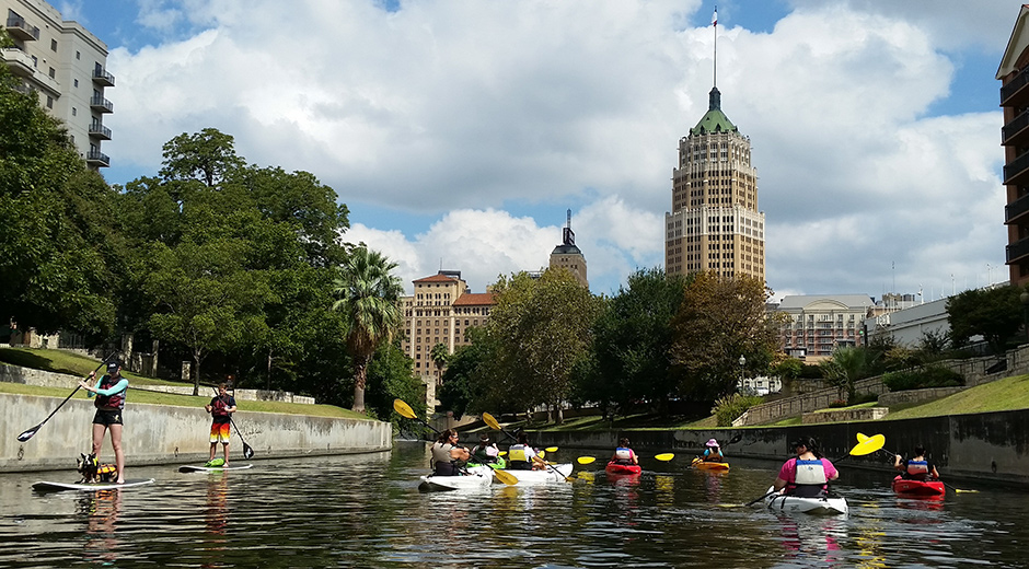
From its calm, peaceful flow through the urban environment of the San Antonio River Walk, to its wild, unpredictable rural stretches, the San Antonio River is fantastic for paddling recreation. Like the Swimming Standard, this metric relates to the quality of life and health of area citizens who live in the River Authority’s District as well as to promoting increased preservation and conservation of the San Antonio River Basin resources by individuals, businesses, and government.
Just as too many bacteria can cause problems for those who want to swim or wade in the river, too many bacteria can be problematic for paddlers as well. For the Paddling Standard, similar to the Swimming Standard, the River Authority measures Escherichia coli (E. coli) bacteria as an indicator of recent fecal contamination to area waterways. E. coli comes from the gut of warm-blooded animals, and while most strains are not typically harmful to humans, it is a measure of recent fecal contamination. Fecal matter may contain disease-causing bacteria, viruses, or protozoans. Typical sources of E. coli include wildlife, domestic animals, and humans. When it rains, E. coli levels in our creeks and rivers rise exponentially. This is because as it rains, rainwater runoff, also known as stormwater runoff, washes over the land, carrying fecal matter into nearby creeks and rivers.
Grade for 2022:
A
How is this being measured?
The River Authority has an extensive water quality monitoring program that compiles and reports data on a variety of contaminants in the water to the State. For this metric, the contaminant of importance is E. coli bacteria. The River Authority uses a geometric mean to determine the type of contact recreation at a given location. It is an average of water quality testing results over time. The geometric mean criterion for E. coli for the Secondary Contact Recreation 1 Standard is 630 MPN (most probable number) per 100 mL. This regulatory surface water standard set by the Texas Commission on Environmental Quality (TCEQ) refers to water recreation activities which commonly occur, but have limited body contact with the water, and are presumed to pose a less significant risk of water ingestion than the Primary Contact Recreation 1 Standard. Water recreation activities such as kayaking and paddling are suitable for this standard. Thus, for the sake of simplicity in this basin report card, we have decided to use an informal name for this metric and will call it the Paddling Standard rather than using the formal regulatory name of Secondary Contact Recreation 1 Standard.
The grade for this metric uses the water quality monitoring data collected by the River Authority. The past five years of data is used to determine this grade by dividing the number of water quality monitoring sites that meet the Secondary Contact Recreation 1 Standard by the total number of sites monitored in the basin and multiplying that number by 100. Therefore, the grade for this metric is based on the percentage of monitoring sites that meet the regulatory Secondary Contact Recreation 1 Standard (i.e., Paddling Standard). It is important to note that 76 monitoring stations were identified last year (2020-2021) and 71 monitoring sites this year.
Explanation of the Grade
Based on data from the River Authority’s Water Quality – Bacteria Dashboard there are 64 sites meeting the Secondary Contact Recreation 1 Standard out of 71 total sites.
64/71 x 100 = 90.1%
Grade: A
Key Findings
Like the Swimming Standard metric, annual rainfall rates can also impact the Paddling Standard report card grade. Learn more about rainfall data from the National Weather Service for the last five fiscal years. (Note: The River Authority’s fiscal year runs from July 1 to June 30.) Years that have more rainfall are likely to have an increase in E. coli levels as bacteria levels tend to rise dramatically in the river following rain events, particularly in urbanized areas with large amounts of impervious cover.
The data and corresponding basin report card grade indicate that E. coli bacteria levels monitored in the San Antonio River often meet the state surface water quality geometric mean criterion for the Secondary Contact Recreation 1 Standard. Looking closely at the data, the commonality between the seven sites that did not meet this standard is that they are all located in highly urbanized areas of San Antonio. Of note, the station sites that did not meet the paddling standard this year are the same sites that did not meet the paddling standard last year.
Recommended Actions
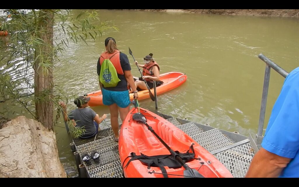
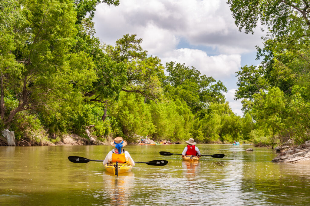
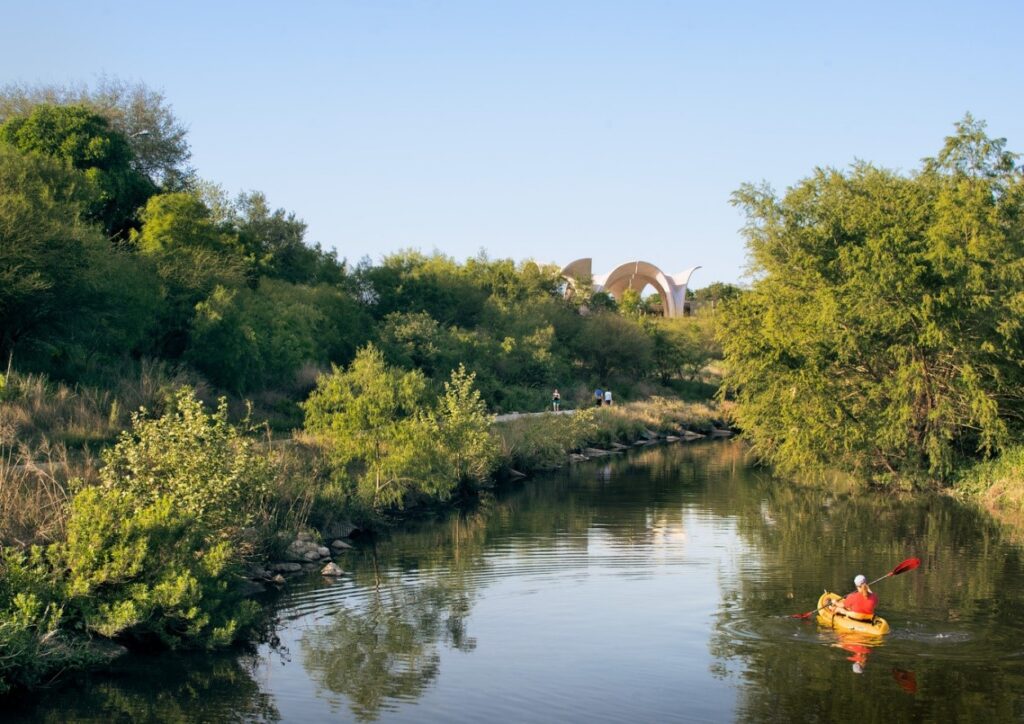
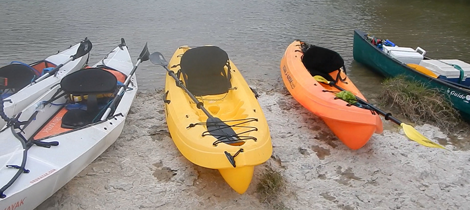
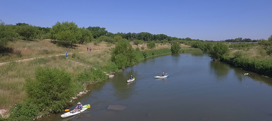
Given that the data shows the water quality is regularly meeting the Secondary Contact Recreation 1 Standard, our first recommendation is for area residents to get outside and go kayaking or canoeing on the San Antonio River! The River Authority currently maintains close to 72 miles of paddling trails on the San Antonio River throughout the basin. There are other concepts in development to potentially add up to 60 more miles of paddling trails.
We encourage area residents to learn more about the River Authority’s existing paddling trails (and our nature parks) and paddling safety tips. The River Authority has also produced a series of short videos to help promote the various paddling trails throughout the basin; this video series includes the River Walk Paddling Trail (part 1 and part 2), SASPAMCO Paddling Trail, and Goliad Paddling Trail (part 1 and part 2). There are Spanish versions available as well for the River Walk Paddling Trail (part 1 and part 2), SASPAMCO Paddling Trail, and Goliad Paddling Trail (part 1 and part 2).
If you are unable for any reason to kayak the San Antonio River yourself, you can take a virtual kayak trip of the San Antonio River Basin.
Even though this grade is very high, there is room for improvement. Reducing bacteria in our waterways needs to be a priority for our community. Pollutants left on impervious cover are particularly vulnerable to being transported by rainwater runoff into nearby creeks and rivers. So, our final recommendation for this metric is to advance the use of sustainable, green infrastructure practices within the rapidly urbanizing communities throughout the basin. These multi-benefit best management practices can help reduce flooding and improve water quality. This is where we need your help! You can learn about sustainability, and ways you can help improve the river or you can also join the River Warrior volunteers to actively participate in ecosystem restoration projects as well as attend trainings and educational events to gain knowledge on green infrastructure strategies to become river protection ambassadors.
Grade for 2021:
A
How is this being measured?
The River Authority has an extensive water quality monitoring program that compiles and reports data on a variety of contaminants in the water to the State. For this metric, the contaminant of importance is E. coli bacteria. The River Authority uses a geometric mean to determine the type of contact recreation at a given location. It is an average of water quality testing results over time. The geometric mean criterion for E. coli for the Secondary Contact Recreation 1 Standard is 630 MPN per 100 mL. This regulatory surface water standard set by the Texas Commission on Environmental Quality (TCEQ) refers to water recreation activities which commonly occur, but have limited body contact with the water, and are presumed to pose a less significant risk of water ingestion than the Primary Contact Recreation 1 Standard. Water recreation activities such as kayaking and paddling are suitable for this standard. Thus, for the sake of simplicity in this basin report card, we have decided to use an informal name for this metric and will call it the Paddling Standard rather than using the formal regulatory name of Secondary Contact Recreation 1 Standard.
The grade for this metric uses the water quality monitoring data collected by the River Authority. The past five years of data is used to determine this grade by dividing the number of water quality monitoring sites that meet the Secondary Contact Recreation 1 Standard by the total number of sites monitored in the basin and multiplying that number by 100. Therefore, the grade for this metric is based on the percentage of monitoring sites that meet the regulatory Secondary Contact Recreation 1 Standard (i.e. Paddling Standard). It is important to note that 72 monitoring stations were identified last year (2019-2020) and 76 monitoring sites this year. New stations and increase in measuring routine account for the additions.
Explanation of the Grade
Based on data from the River Authority’s Water Quality – Bacteria Dashboard there are 69 sites meeting the Secondary Contact Recreation 1 Standard out of 76 total sites.
Grade: A
(69/76 x 100 = 90.8%)
Key Findings
Like the Swimming Standard metric, annual rainfall rates can also impact the Paddling Standard report card grade. Learn more about rainfall data from the National Weather Service for the last five fiscal years. (Note: The River Authority’s fiscal year runs from July 1 to June 30.) Years that have more rainfall are likely to have an increase in E. coli levels as bacteria levels tend to rise dramatically in the river following rain events, particularly in urbanized areas with large amounts of impervious cover.
The data and corresponding basin report card grade indicate that E. coli bacteria levels monitored in the San Antonio River often meet the state surface water quality geometric mean criterion for the Secondary Contact Recreation 1 Standard. Looking closely at the data, the commonality between the seven sites that did not meet this standard is that they are all located in highly urbanized areas of San Antonio. Another similarity between six of these seven locations is that paddle recreation is not allowed in these areas per the City of San Antonio. Of these six locations where paddling is not allowed, five are in the upper most reaches of the San Antonio River and one is located on Apache Creek, which is tributary to the upper San Antonio River. Of note, the station sites that did not meet the paddling standard this year are the same sites that did not meet the paddling standard last year.
Therefore, the key finding for this grade is that the Secondary Contact Recreation 1 Standard is being meet at every water quality monitoring location along the San Antonio River, except one, where paddle recreation is allowed.
Recommended Actions
Given that the data shows the water quality is regularly meeting the Secondary Contact Recreation 1 Standard, our first recommendation is for area residents to get outside and go kayaking or canoeing on the San Antonio River! The River Authority currently maintains close to 60 miles of paddling trails on the San Antonio River throughout the basin. An additional 12 miles of paddling trails will soon be added to the Goliad Paddling Trail, and there are other concepts in development to potentially add up to 60 more miles of paddling trails.
We encourage area residents to learn more about the River Authority’s existing paddling trails (and our nature parks) and paddling safety tips. As a part of the River Authority’s water quality monitoring program, aquatic biologists collect weekly water quality samples at 7 paddling sites throughout the San Antonio River Basin to assess the conditions of the water to determine if it is meeting the Secondary Contact Recreation 1 Standard. This weekly bacteria data is posted together with current flow conditions and any paddling trail closure information on our current conditions and closures webpage.
The River Authority has also produced a series of short videos to help promote the various paddling trails throughout the basin:
River Walk Paddling Trail
Goliad Paddling Trail (part 1 and part 2).
There are Spanish versions available as well for the River Walk Paddling Trail (part 1 and part 2), SASPAMCO Paddling Trail, and Goliad Paddling Trail (part 1 and part 2).
If you are unable for any reason to kayak the San Antonio River yourself, you can take a virtual kayak trip of the San Antonio River Basin.
Even though this grade is very high, there is room for improvement. Reducing bacteria in our waterways needs to be a priority for our community. Pollutants left on impervious cover are particularly vulnerable to being transported by rainwater runoff into nearby creeks and rivers. So, our final recommendation for this metric is to advance the use of sustainable, green infrastructure practices within the rapidly urbanizing communities throughout the basin. These multi-benefit best management practices can help reduce flooding and improve water quality. This is where we need your help! You can learn about sustainability, and ways you can help improve the river or you can also join the River Warrior volunteers to actively participate in ecosystem restoration projects as well as attend trainings and educational events to gain knowledge on green infrastructure strategies to become river protection ambassadors.
Grade for 2020:
A
How is this being measured?
The River Authority has an extensive water quality monitoring program that compiles and reports data on a variety of contaminants in the water to the State. For this metric, the contaminant of importance is E. coli bacteria. The River Authority uses a geometric mean to determine the type of contact recreation at a given location. It is an average of water quality testing results over time. The geometric mean criterion for E. coli for the Secondary Contact Recreation 1 Standard is 630 MPN per 100 mL. This regulatory surface water standard set by the Texas Commission on Environmental Quality (TCEQ) refers to water recreation activities which commonly occur, but have limited body contact with the water, and are presumed to pose a less significant risk of water ingestion than the Primary Contact Recreation 1 Standard. Water recreation activities such as kayaking and paddling are suitable for this standard. Thus, for the sake of simplicity in this basin report card, we have decided to use an informal name for this metric and will call it the Paddling Standard rather than using the formal regulatory name of Secondary Contact Recreation 1 Standard.
The grade for this metric uses the water quality monitoring data collected by the River Authority. The past five years of data is used to determine this grade by dividing the number of water quality monitoring sites that meet the Secondary Contact Recreation 1 Standard by the total number of sites monitored in the basin and multiplying that number by 100. Therefore, the grade for this metric is based on the percentage of monitoring sites that meet the regulatory Secondary Contact Recreation 1 Standard (i.e. Paddling Standard).
Explanation of the Grade
Based on data from the River Authority’s Water Quality – Bacteria Dashboard there are 65 sites meeting the Secondary Contact Recreation 1 Standard out of 72 total sites.
Grade: A
(65/72 x 100 = 90.3%)
Key Findings
Like the Swimming Standard metric, annual rainfall rates can also impact the Paddling Standard report card grade. Learn more about rainfall data from the National Weather Service for the last five fiscal years. (Note: The River Authority’s fiscal year runs from July 1 to June 30.) Years that have more rainfall are likely to have an increase in E. coli levels as bacteria levels tend to rise dramatically in the river following rain events, particularly in urbanized areas with large amounts of impervious cover.
The data and corresponding basin report card grade indicate that E. coli bacteria levels monitored in the San Antonio River often meet the state surface water quality geometric mean criterion for the Secondary Contact Recreation 1 Standard. Looking closely at the data, the commonality between the seven sites that did not meet this standard is that they are all located in highly urbanized areas of San Antonio. Another similarity between six of these seven locations is that paddle recreation is not allowed in these areas per the City of San Antonio. Of these six locations where paddling is not allowed, five are in the upper most reaches of the San Antonio River and one is located on Apache Creek, which is tributary to the upper San Antonio River.
Therefore, the key finding for this grade is that the Secondary Contact Recreation 1 Standard is being meet at every water quality monitoring location along the San Antonio River, except one, where paddle recreation is allowed.
Recommended Actions
Given that the data shows the water quality is regularly meeting the Secondary Contact Recreation 1 Standard, our first recommendation is for area residents to get outside and go kayaking or canoeing on the San Antonio River! The River Authority currently maintains close to 46 miles of paddling trails on the San Antonio River throughout the basin. An additional 25 miles of paddling trails will soon be added to the Goliad Paddling Trail, and there are other concepts in development to potentially add up to 60 more miles of paddling trails.
We encourage area residents to learn more about the River Authority’s existing paddling trails (and our nature parks) and paddling safety tips. As a part of the River Authority’s water quality monitoring program, aquatic biologists collect weekly water quality samples at 7 paddling sites throughout the San Antonio River Basin to assess the conditions of the water to determine if it is meeting the Secondary Contact Recreation 1 Standard. This weekly bacteria data is posted together with current flow conditions and any paddling trail closure information on our current conditions and closures webpage.
If you are unable for any reason to kayak the San Antonio River yourself, you can take a virtual kayak trip of the San Antonio River Basin here.
Even though this grade is very high, there is room for improvement. Reducing bacteria in our waterways needs to be a priority for our community. Pollutants left on impervious cover are particularly vulnerable to being transported by stormwater into nearby creeks and rivers. So, our final recommendation for this metric is to advance the use of sustainable, green infrastructure practices within the rapidly urbanizing communities throughout the basin. This is where we need your help! You can learn about sustainability, and ways you can help improve the river or you can also join the River Warrior volunteers to actively participate in ecosystem restoration projects as well as attend trainings and educational events to gain knowledge on green infrastructure strategies to become river protection ambassadors.