You’ve heard of the term Green Infrastructure, but do you know how it works or what it does? Read along as we dive further into the benefits and ways you can apply some of these methods at your business or home.
What is Green Infrastructure?
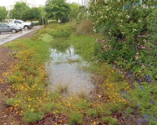
Leon Valley City incorporated a permeable pavement that allows for infiltration, cleaning of rainwater, and reduces runoff during a storm.
Green Infrastructure is a group of design practices which function like green space and natural areas to slow, detain, and filter stormwater. Methods include vegetated filter strips, vegetated swales, bioretention, bioswales, permeable pavement, cisterns, wetlands, extended detention, and vegetated sand filters. The design and installation of Green Infrastructure helps reduce local flooding and improves water quality.
The River Authority recognizes the need to communicate the importance of this type of sustainable development and see that it is implemented throughout the basin. Therefore, we have a Sustainable Infrastructure team dedicated to protecting our creeks and rivers from their greatest threat, stormwater runoff. Over the last five years, the Sustainable Infrastructure team has provided & funded rebates throughout our four-county jurisdiction for installation of on-site Green Infrastructure stormwater best management practices (BMPs) to either new construction or as a retrofit of existing property. The Rebate Program educates project property owners, designers, engineers, and landscape architects through concept, design, and construction of stormwater BMPs, and through operation & maintenance guidelines and inspections.
How do I learn more about the River Authority’s Rebate Program?
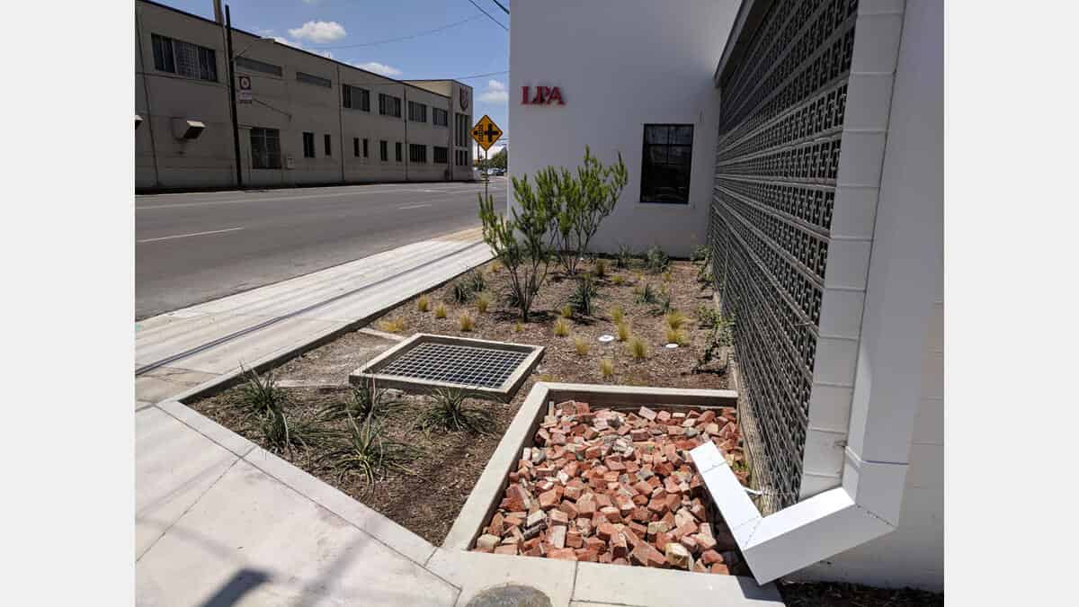
Shown here is a rain gutter directing rainwater into a bioretention (raingarden) at the LPA Office.
You can learn more about the Rebate Program projects on our new Green Infrastructure Dashboard. This interactive web map highlights funded projects and allows viewers to learn about the positive impacts these projects have on water quality and the reduction in pollutants including sediment and bacteria. Browse the photos on each project page to learn more about the design features. These Green Infrastructure features have already had a beneficial impact on the San Antonio River Basin, and the benefits will continue to grow as we fund the construction of new projects in the future. To date, the Rebate Program projects have an annual combined treatment:
- volume of more than 8.1 million gallons or 12 Olympic Size Swimming Pools,
- removal of 2,834 pounds of sediment, and
- diversion of 13,381 billion colonies of bacteria from entering our creeks and river.
The River Authority ensures these stormwater BMPs are constructed using the San Antonio River Basin LID Technical Guidance Manual. By having these features visible on their property, rebate recipients serve as stewards in educating the community on the benefits of Green Infrastructure.
How do I get involved?
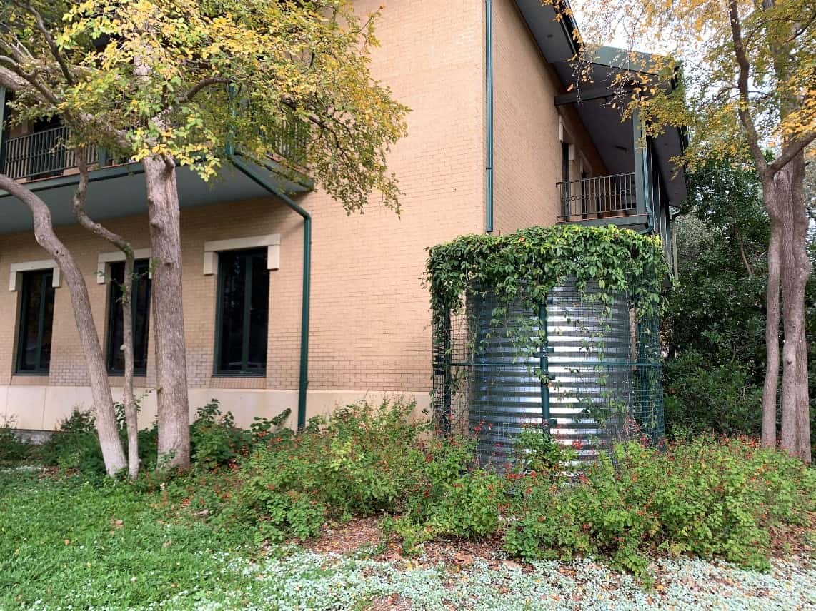
The River Authority has installed cisterns in the most beneficial areas in their offices to capture and reuse water.
You can be a steward of the river too! Here are a few ways to implement Green Infrastructure elements on your property:
- Businesses and developments throughout the River Authority’s District are eligible to apply for the River Authority’s Green Infrastructure Rebate Program. More information is available on our Rebate Program page.
- Help reduce stormwater runoff at your home by installing a rain garden.
- You can also reduce stormwater runoff at your home or business by using a rainwater collection system such as a rain barrel or cistern for watering your lawn or garden irrigation.