Access Information
The trail begins at the River Authority’s River Crossing Park on the San Antonio River in Bexar County. Near Floresville, Texas in Wilson County, there are additional access points at Graytown Park on the San Antonio River, at John William Helton – San Antonio River Nature Park, at County Road 117, and at Texas Highway 97 in Floresville River Park.
Discovery Information
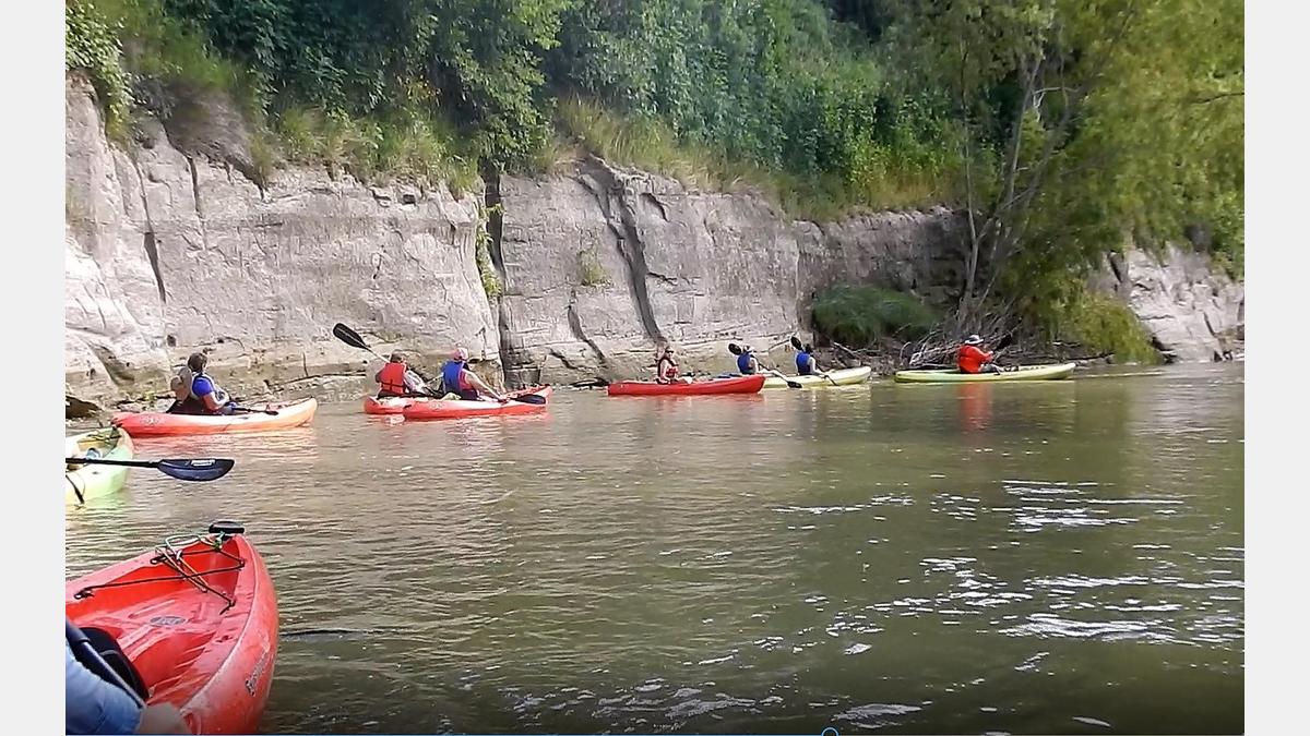
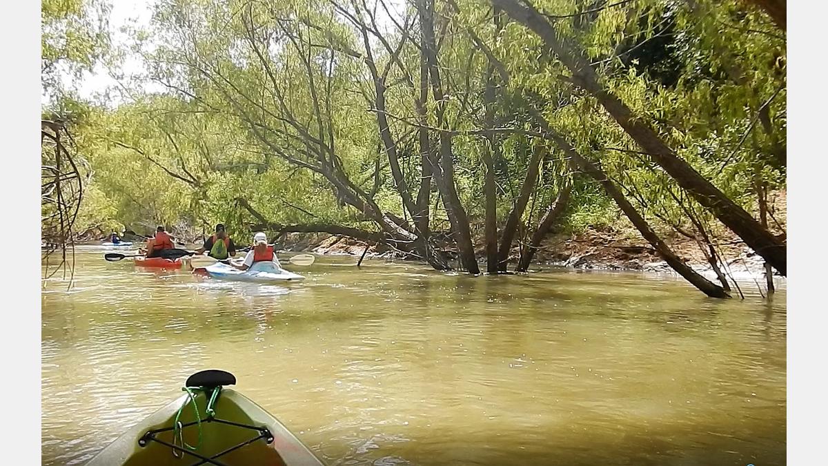
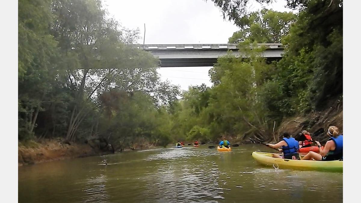
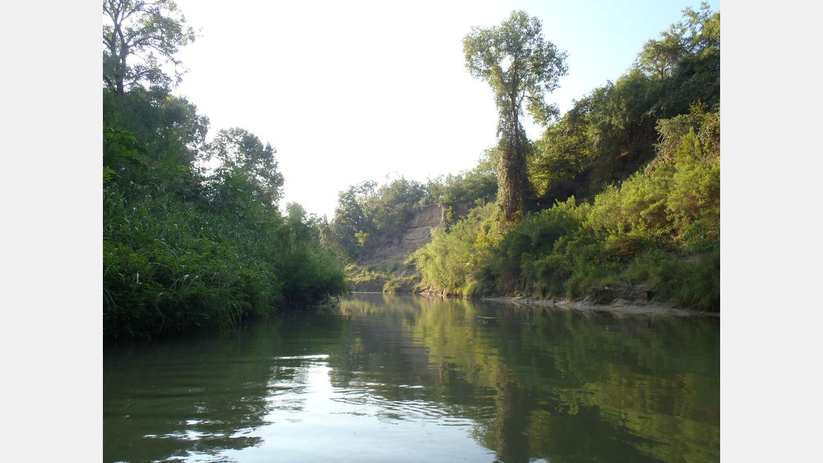
Intriguing geologic features, tall shady trees, and peacefully flowing waters make the SASPAMCO Paddling Trail a paddling adventure that is unmatched in the San Antonio area. This trail has a wild feel as it courses a little over 29 miles through parts of Bexar and Wilson Counties, yet it is connected to rural parks to access amenities such as picnic tables, restrooms, and parking. The flow rate can vary, so it is a good idea to check out flow conditions before heading out to the paddling trail. If you time your excursion just right, you might happen upon a community event at John William Helton Nature Park when you conclude your paddling trip.
You may be wondering, “what is the origin of the name SASPAMCO?” SASPAMCO is a small community in southern Bexar County whose name is an acronym for the San Antonio Sewer Pipe Manufacturing Company, a company that was the predominant employer in the community until the 1960’s. The company has since closed, but the name has remained.
Paddling Trail Amenities:
- Cano shoots and Riffles: YES
- Landscape Type: Rural
- Cell Phone Access: Variable
- Bring ample drinking water
- Some tree shade present
- Log jams may be present
- Banks are mostly soft mud
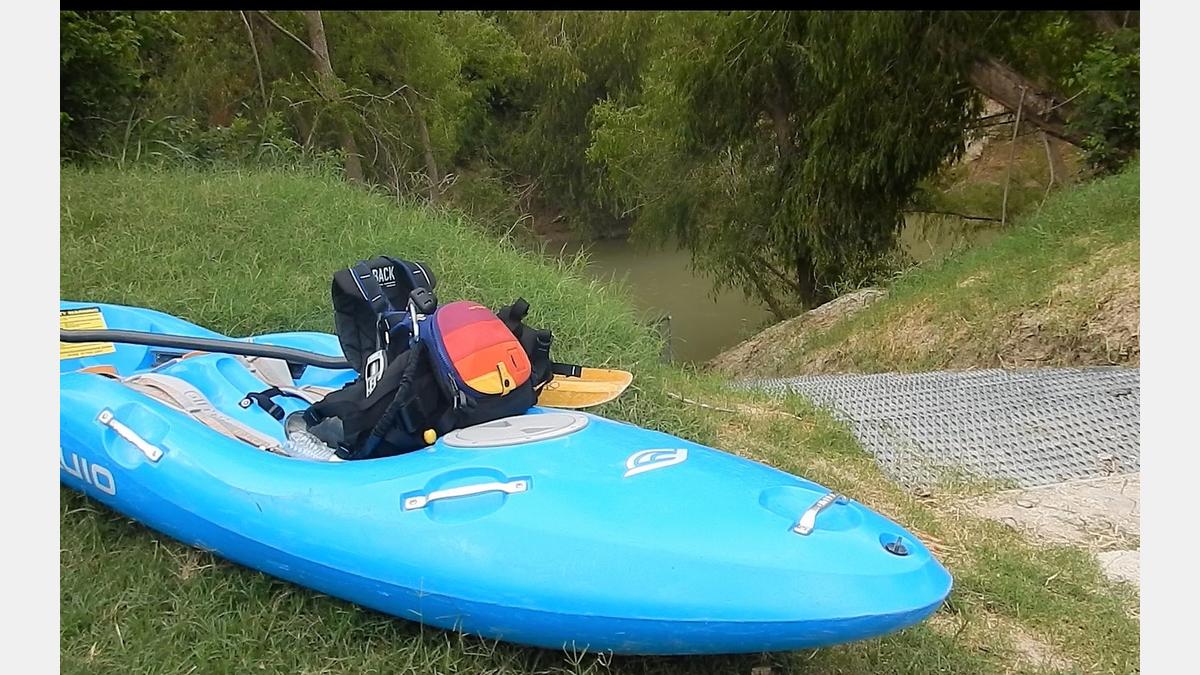
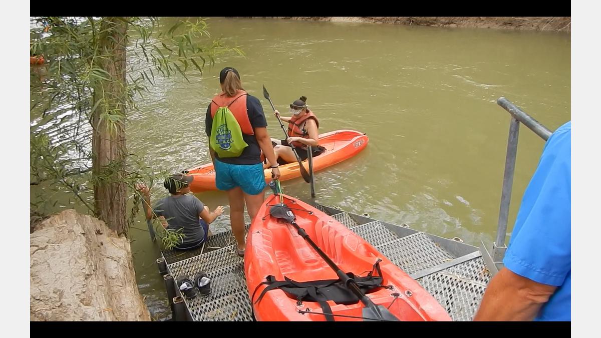
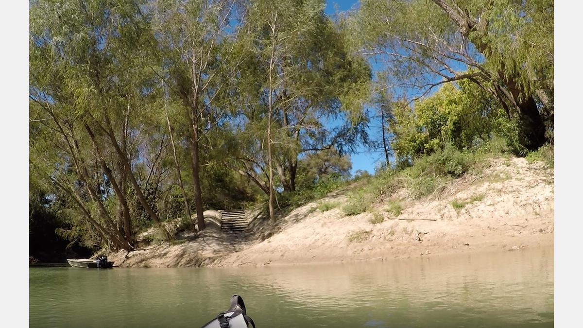
Paddling Trail Gallery:
Paddling Trail Map
Paddling Trail Details:
- Difficulty: Experience Recommended
- Distance: 29 miles
- Float Time: 4-12 hours
Downloadable Resources:
SASPAMCO Paddling Trail - GPX
These files are compatible with smartphone apps such as GPX Viewer and Track Viewer. Download the files onto your device and check out your paddling trail before you head out on the water. Disclaimer, smartphone devices vary in their accuracy.
SASPAMCO Paddling Trail - KMZ
These files are compatible with software/smartphone apps such as Google Earth and Esri ArcGIS. Download the files onto your device and check out your paddling trail before you head out on the water. Disclaimer, devices vary in their accuracy.
San Antonio River Basin Guide
A collection of parks, trails, and historic destinations throughout the San Antonio River Basin, including Bexar, Wilson, Karnes and Goliad Counties as well as the San Antonio River Walk (Downtown, Museum Reach and Mission Reach).