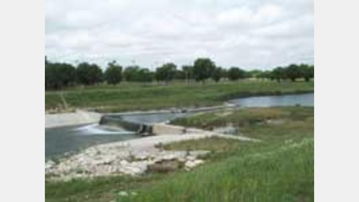
The San Antonio River was the focal point and life line of the early Spanish missionaries and colonists. The missions were in fact located in close proximity to the San Antonio River because it was the last source of water before moving into the great Chihuahua desert to the south. Mission San Juan Capistrano was one of the five colonial missions established along the San Antonio River. The Spaniards and the Native Americans built a dam and acequia to divert fresh water to the mission and to irrigate mission fields. Water flowed in the acequia for over two hundred years and was still used to irrigate pecan orchards long after the secularization of the mission when a realignment and channelization project for flood control stopped the flow of water. The San Juan Acequia was also eroded by increased flood water flowing down the Asylum and No Name Creeks, causing a breach in the acequia as it crossed the creeks. The purpose of this project was to restore the flow of water down the acequia and to repair the acequia where it crossed the creeks. Restoration of the flow of water in the acequia satisfies the oldest water right in the State of Texas with a priority date of December 31, 1731.
The San Juan Pump Station can supply 21 cfs of flow to the San Juan Acequia and 5 cfs to the Symphony Lane Neighborhood. Symphony Lane is located along an old bend of the river and also was isolated as a result of the channelization project. The pump station consists of two 48-inch 6.5 cfs screw pumps and one 60-inch 13 cfs screw pump. The screw pumps lift water to the San Juan Acequia and the west side of the river for the Symphony Lane Neighborhood. The pump station can be programmed to deliver variable amounts of water at various pumping schedules. Automatic shut down of the pumps occurs when the water elevation drops to five feet above the diversion dam (elevation 545) during flood conditions.
The Asylum and No Name Creeks portion of the project provides improved flood control, erosion control and newly constructed earthen berms to improve the flow of flood water as it flows of the acequia.
The $6.7 million project was built by Bryan Construction Company, Inc. of Bryan, Texas and was completed in the summer of 1994.