Westside Creeks Ecosystem Restoration Project hits major design milestone

Written by:

Posted on:

Categories:

Share:

Facebook
Twitter
LinkedIn
Email

Get The Latest:

Join our print or digital newsletter to be informed about the agency’s many projects and other news.

A room filled with people facing a presentation screen during the Westside Creeks Ecosystem Restoration Project

The Westside Creeks Ecosystem Restoration Project is a community-initiated restoration effort for the network of creeks on San Antonio’s Westside. The project’s focus is to restore 11 miles of the Alazán, Apache, Martinez, and San Pedro creeks and improve community connectivity. These restoration efforts will improve the natural appearance and water quality conditions and re-establish habitats for fish, birds, and other wildlife.

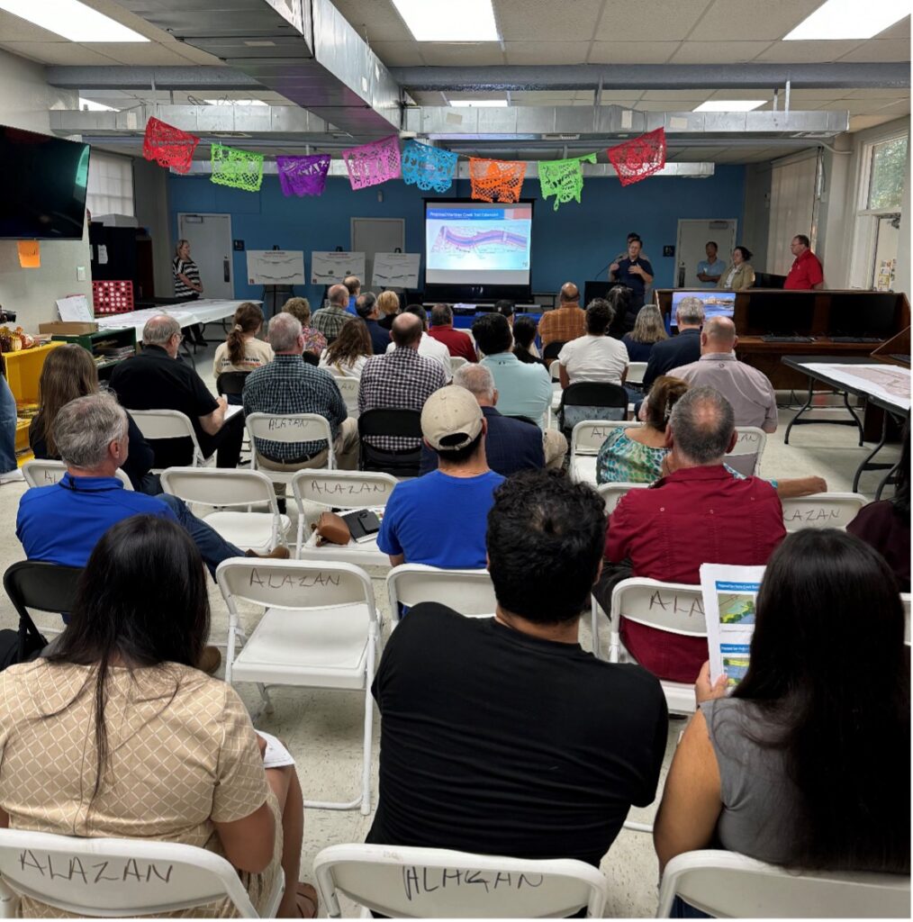
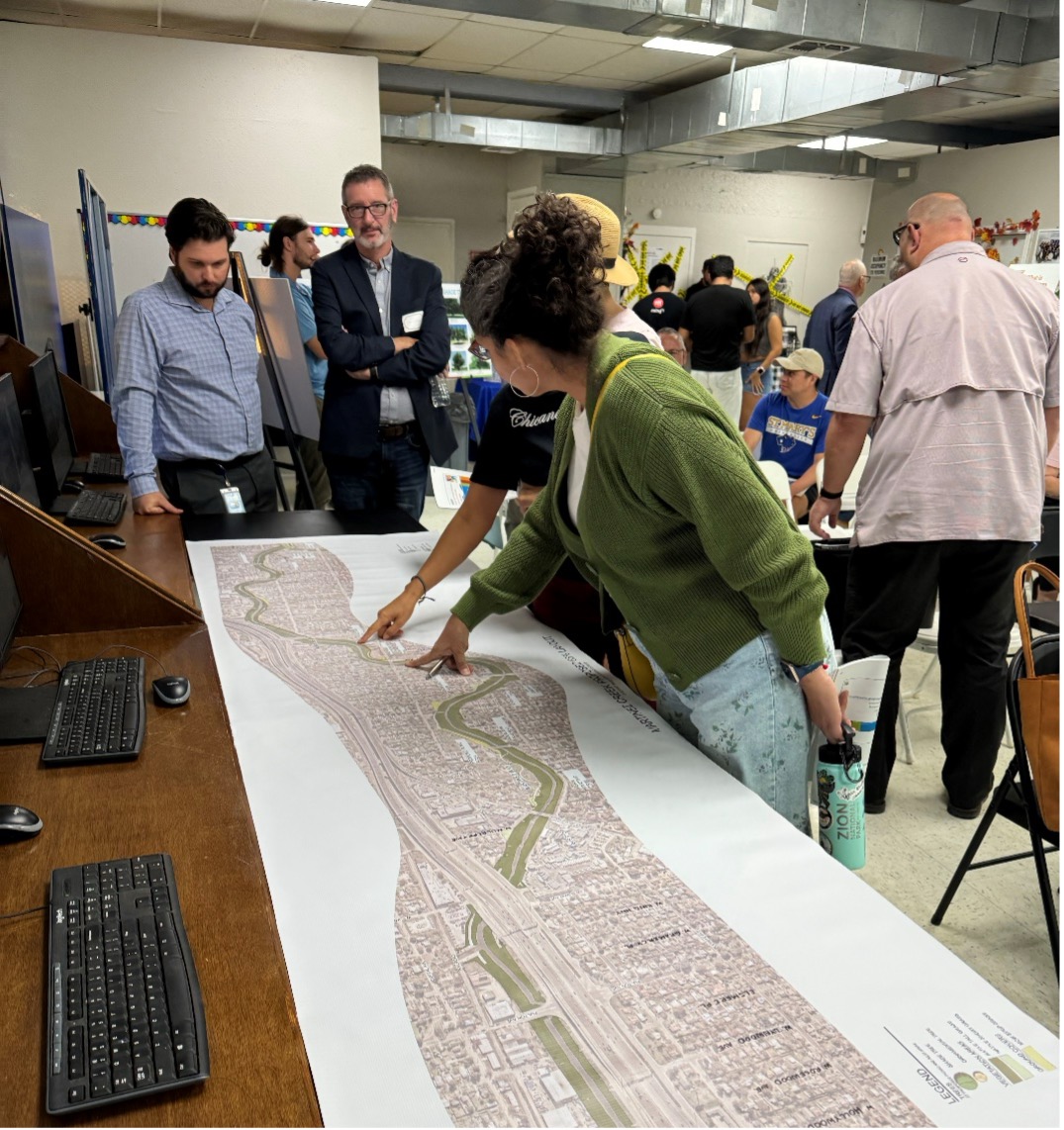
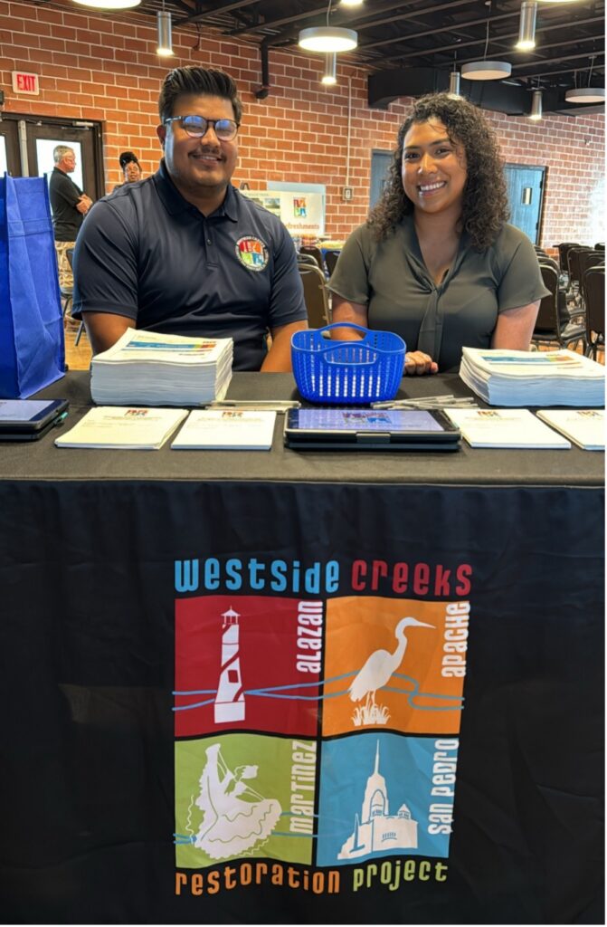
The U.S. Army Corps of Engineers is the federal sponsor for the project and the River Authority serves as the non-federal sponsor. Locally, the project is supported by Bexar County, the local funding partner. In October 2024, the Corps joined the River Authority to host three public information sessions to celebrate the project’s 65% interim design milestone and educate the public on the current level of design. The meetings were well attended by neighbors, community members, and the general public. We appreciate the folks that came out to learn more about the project!

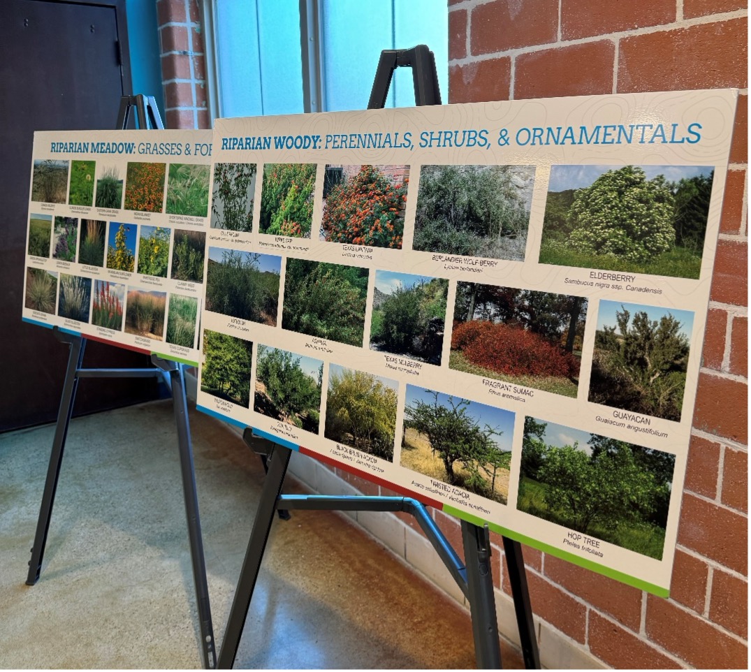
Over 220 acres of native aquatic and riparian vegetation will be planted across the four creeks, improving the aquatic environment. The restoration of the natural environment will bring the return of a healthy ecosystem with diversity of plant, fish, and avian species (birds). Additionally, the Westside Creeks are part of a critical stop-over habitat along the central flyway for tropical, neotropical and resident avian species. The Westside Creeks project will connect the community back to nature and its creeks—once completed, an additional 11 miles of restored aquatic and riparian ecosystem will connect to the Mission Reach Ecosystem Restoration Project of the San Antonio River Walk thereby creating continuous habitat along 19 miles of creeks and river. The River Authority, in partnership with the U.S. Army Corps of Engineers, looks forward to moving into the next phase of the design process.

A man and woman sit behind the checkin table at the Westside Creeks Ecosystem Restoration Meetings

To learn more about the Westside Creeks project, share your feedback, and learn when the next public information sessions will be held, check out the project website and the presentations from this month’s information sessions.

Related Articles

Alerts

Stay Weather‑Aware This Weekend

Stay Weather‑Aware This Weekend

Rain is expected across the region this weekend, which may result in high water on roads and temporary closures at low water crossings.

Before heading out, residents are encouraged to check SARiverFlood.org or their local county flood website for real‑time roadway conditions:

These sites provide up‑to‑date information from flood‑monitoring sensors across the region. Real‑time updates are available 24/7 to help you stay informed as conditions change.

Please use caution when traveling and plan routes accordingly.

Restroom Closure Notice – Camino Coahuilteca (Acequia Park Trail)


Restroom Closure Notice – Camino Coahuilteca (Acequia Park Trail)

The restrooms at Camino Coahuilteca along the Acequia Park Trail will be temporarily closed on Thursday, April 16 due to parking lot improvements in the area.

We encourage visitors to plan accordingly and utilize nearby facilities during this time.

We appreciate your patience as we complete this work to enhance the park experience.


Museum Reach – Oxbow Trail Closure Notice

The Oxbow Trail along the Museum Reach will be temporarily closed beginning Monday, April 13 through May 1 to accommodate project-related work in the area.

For public safety, access to this section of the trail will be restricted during this time. Visitors are encouraged to plan accordingly and use alternate routes.

Wayfinding signage and trail closure notices will be posted at designated locations to help guide trail users around the closure.

We appreciate your patience and understanding as we complete this work to help maintain safe and enjoyable trail conditions.

San Pedro Creek Culture Park

The east bank trail along San Pedro Creek will be temporarily closed between the upper trail at Cameron St. and the lower trail at two access points.

Closure details:

  • The first closure will impact the connector from the upper trail near West Houston St. to the south lower San Pedro Creek trail.
  • Once work at this location is complete and the trail reopens, construction will shift to the second closure area between the upper and lower trails on the opposite side of the green space.

Please follow posted signage and plan alternate routes. We appreciate your patience as this work is completed.

Closed areas around San Pedro Creek Culture Park

The Brackenridge Trail

Trail Lighting Notice – Brackenridge Park Trail

Due to an electrical issue, lighting is currently out along the north portion of the trail, from the Josephine Street inlet to just past Highway 281 within the Brackenridge Park Trail. Our team is actively working to correct the issue and expects repairs to be completed by the end of business tomorrow.

We apologize for any inconvenience this may cause and appreciate your patience as we work to restore lighting. Please use caution when traveling through this area, especially during evening hours.

Trail Closure Alert – Calder Alley, San Pedro Creek

Maintenance work will be done in Calder Alley starting Wednesday, September 18, 2025.

  • Trails will remain open during this work.
  • One bench at a time will be temporarily barricaded while improvements are completed.
  • There may be occasional contractor pickups in the area.

We appreciate your patience as we continue to maintain and improve San Pedro Creek for all to enjoy!

SASPAMCO Paddling Trail

The SASPAMCO paddling trail is open from River Crossing Park to Helton Nature Park.
*Please Note: Paddling Trail from Helton Nature Park to HWY 97 is still closed due to blockages. 

SASPAMCO Paddling Trail Temporarily Closed

Staff have removed two large log jams just downstream of Helton Nature Park, keeping the southern portion of the SASPAMCO Paddling Trail temporarily closed. Staff are working to contact adjacent landowners to support a land-based removal solution.

Goliad Paddling Trail Alert

NOTICE: HWY 59 Landing Site Closed

Due to TxDOT construction on the HWY 59 Bridge, the HWY 59 landing site is closed until further notice. However, the Goliad Paddling Trail remains open, and paddlers can still access the river at the Riverdale, Ferry Street, and Goliad State Park landings.

Please plan accordingly and check back for updates.

River Reach Newsletter and Blog Signup

River Reach is offered as a printed, physical mailing to your residence or business. The Blog is a weekly electronic email with news and updates in order to be more environmentally conscious. Please fill out the form below and indicate your preferred method of delivery.

By submitting this form, you are consenting to receive marketing materials from: San Antonio River Authority, 100 East Guenther St., San Antonio, TX, 78204, US. You can revoke your consent to receive emails at any time by using the SafeUnsubscribe® link, found at the bottom of every email. Emails are serviced by Constant Contact. This site is protected by reCAPTCHA and the Google Privacy Policy and Terms of Service apply.