Protection from Future Floods: River Authority Dam Management

Written by:

Posted on:

Categories:

Share:

Facebook
Twitter
LinkedIn
Email

Get The Latest:

Join our print or digital newsletter to be informed about the agency’s many projects and other news.

Walker Ranch Dam in Bexar County.

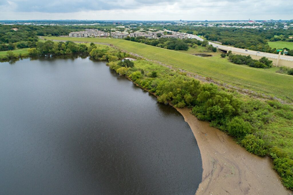
Walker Ranch Dam, Bexar County.

The history of flooding in our area has demonstrated the need to provide protection from future flooding events. As part of our commitment to safe, clean, and enjoyable creeks and rivers, the San Antonio River Authority (River Authority) employs a comprehensive approach to flood mitigation. Part of this approach includes the ongoing maintenance of flood retention dams throughout the San Antonio River Basin.

Many of these dams sit on properties that also serve as nature-based parks and the significant benefits provided by the dams for enhancing flood safety and protection are sometimes understated. Want to learn more about where these dams are and how they work? Follow along as we share more!

How many dams does the River Authority maintain in the San Antonio River Basin?

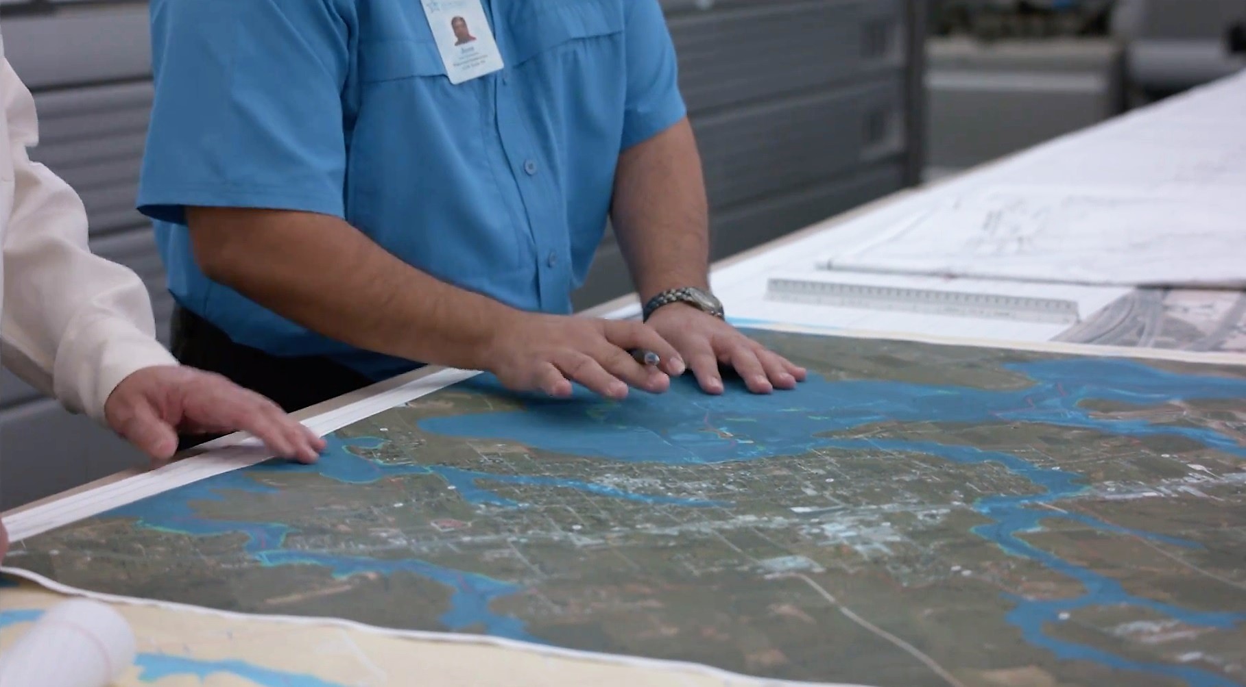
Click on image to view larger version

The River Authority operates and maintains a total of 41 flood water retention dams throughout the San Antonio River Basin. There are 28 dams in Bexar County and the upper reaches of the Salado Creek has the largest system with 14 dams. The remaining 13 dams are in Karnes County.

Since the early 1950s, the River Authority has partnered with county, special districts, and federal entities for the development of these dams with most built in the 1960s and 1970s. These dams mitigate flooding in populated areas and are designed to withstand up to 44 inches of rain over a 24-hour period. In 2003, the McAllister Park Dam on the Salado Creek in Bexar County was the final dam completed.

How does the River Authority address flood risk mitigation?

Picture of Scientists working with maps and data to mitigate flooding.

In the River Authority’s model for flood risk management, protection refers to man-made structures that are designed to re-direct and manage the flow of water, diverting it from inundating neighborhoods where people and property are dense. The River Authority has a team of experts to properly maintain these dams on a routine basis.

Working together with other government organizations is a crucial component of effective flood risk management. By harnessing shared information, knowledge, and resources, communities can plan more effectively and efficiently.

How do I learn more about flooding and flood mitigation?

Related Articles

My River POV: Lee Marlowe

It was easy to fall in love with the natural resources of Texas while growing up near a ditch adjacent to woodlands in...

Alerts

Mission Reach Area Maintenance

*FEBRUARY 2026 UPDATE*

Acequia Park Trailhead will be temporarily closed due to ongoing Stem Density work. The closure area includes the section south of Theo Avenue and Probandt Street, extending south to Mission Road. Currently, work is taking place only on the west bank and working it’s way north of the trail. The east bank portion of the project has been completed. Ongoing work will take place from Monday mornings through late Thursday afternoons. We appreciate your patience as we complete this important work to maintain and improve the park area.

When: Beginning October 20, 2025 through Spring 2026
What: Crews will be performing stem-density removal and related vegetation maintenance along sections of the Mission Reach to help manage flood risk and protect surrounding infrastructure. Some trails or segments may be closed temporarily while work is underway.
Why: Removing excess stems that naturally establish along the river helps maintain stormwater conveyance, reduces flood risk, and protects public infrastructure while allowing grassland and native vegetation to recover and thrive.
What to expect:

  • Limited trail closures and intermittent work zones.
  • Crews and equipment working near the riverbanks during daytime hours.
  • Parking areas remain open, but visitors may see signage and temporary barriers.

Questions? Call the San Antonio River Authority at (210) 227-1373 or visit https://www.sariverauthority.org/services/river-health/ecosystems/.

Thank you for your patience while we keep the Mission Reach safe, clean, and enjoyable.


The Brackenridge Trail

Trail Lighting Notice – Brackenridge Park Trail

Due to an electrical issue, lighting is currently out along the north portion of the trail, from the Josephine Street inlet to just past Highway 281 within the Brackenridge Park Trail. Our team is actively working to correct the issue and expects repairs to be completed by the end of business tomorrow.

We apologize for any inconvenience this may cause and appreciate your patience as we work to restore lighting. Please use caution when traveling through this area, especially during evening hours.

Trail Closure Alert – Calder Alley, San Pedro Creek

Maintenance work will be done in Calder Alley starting Wednesday, September 18, 2025.

  • Trails will remain open during this work.
  • One bench at a time will be temporarily barricaded while improvements are completed.
  • There may be occasional contractor pickups in the area.

We appreciate your patience as we continue to maintain and improve San Pedro Creek for all to enjoy!

SASPAMCO Paddling Trail

The SASPAMCO paddling trail is open from River Crossing Park to Helton Nature Park.
*Please Note: Paddling Trail from Helton Nature Park to HWY 97 is still closed due to blockages. 

SASPAMCO Paddling Trail Temporarily Closed

Staff have removed two large log jams just downstream of Helton Nature Park, keeping the southern portion of the SASPAMCO Paddling Trail temporarily closed. Staff are working to contact adjacent landowners to support a land-based removal solution.

Goliad Paddling Trail Alert

NOTICE: HWY 59 Landing Site Closed

Due to TxDOT construction on the HWY 59 Bridge, the HWY 59 landing site is closed until further notice. However, the Goliad Paddling Trail remains open, and paddlers can still access the river at the Riverdale, Ferry Street, and Goliad State Park landings.

Please plan accordingly and check back for updates.

River Reach Newsletter and Blog Signup

River Reach is offered as a printed, physical mailing to your residence or business. The Blog is a weekly electronic email with news and updates in order to be more environmentally conscious. Please fill out the form below and indicate your preferred method of delivery.

By submitting this form, you are consenting to receive marketing materials from: San Antonio River Authority, 100 East Guenther St., San Antonio, TX, 78204, US. You can revoke your consent to receive emails at any time by using the SafeUnsubscribe® link, found at the bottom of every email. Emails are serviced by Constant Contact. This site is protected by reCAPTCHA and the Google Privacy Policy and Terms of Service apply.