Last Updated on January 30, 2024
Estimated Read Time: 4 Minutes
In this month’s edition of My River POV, we sat down with Erin Cavazos, Ecological Engineering Manager for the River Authority, to ask her questions about her personal connection to the San Antonio River in hopes of inspiring stewardship of area creeks and rivers.
Erin Cavazos, Ecological Engineering Manager
The people who came up with the phrase “there’s no such thing as bad weather; only inappropriate clothing” must not be from around here. I grew up playing in dry creek beds around the Cibolo Creek in Bulverde, and I knew to take shelter from a thunderstorm. My school bus would take a different route during storms because the roads on our regular route were flooded. It still is now as it was then: our raindrops are fat, they fall all at once, and they are frequently accompanied by lightning, hail, and high winds. A dry creek bed can turn into a raging river and then go back to innocently growing flowers within a matter of hours. Rain boots and an umbrella are not enough.
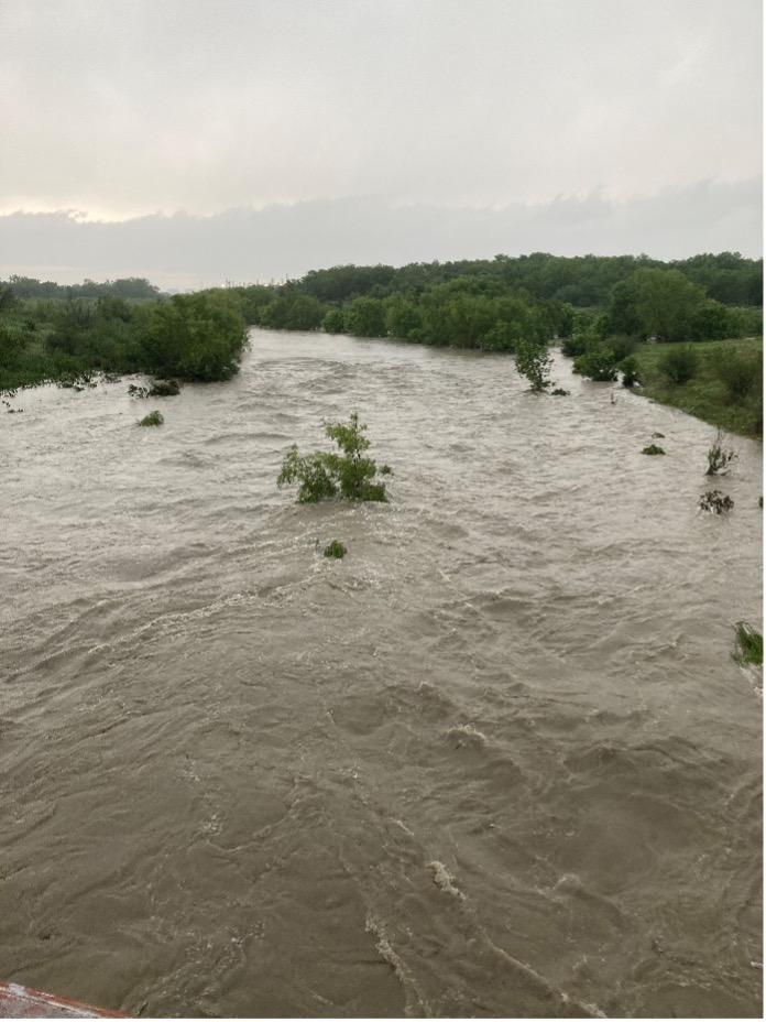
The San Antonio River at Mission Road before (Top) and after (Bottom) a large rainstorm in April 2023.
Decades and a couple of college degrees later, I still love Cibolo Creek and have a much greater appreciation for its uniqueness. My job requires me and my team to study all the creeks and rivers in Bexar, Wilson, Karnes, and Goliad Counties, but my favorite is still the Cibolo. The limestone in and around the creek has cracks, crevasses, and caverns that move water into the ground instead of down to the sea. Thinking back to my childhood, I used to think water in other towns was slippery and tasted funny; now I know the flavor and feel I liked in my tap water was from its trip through limestone before being pumped to my tap.
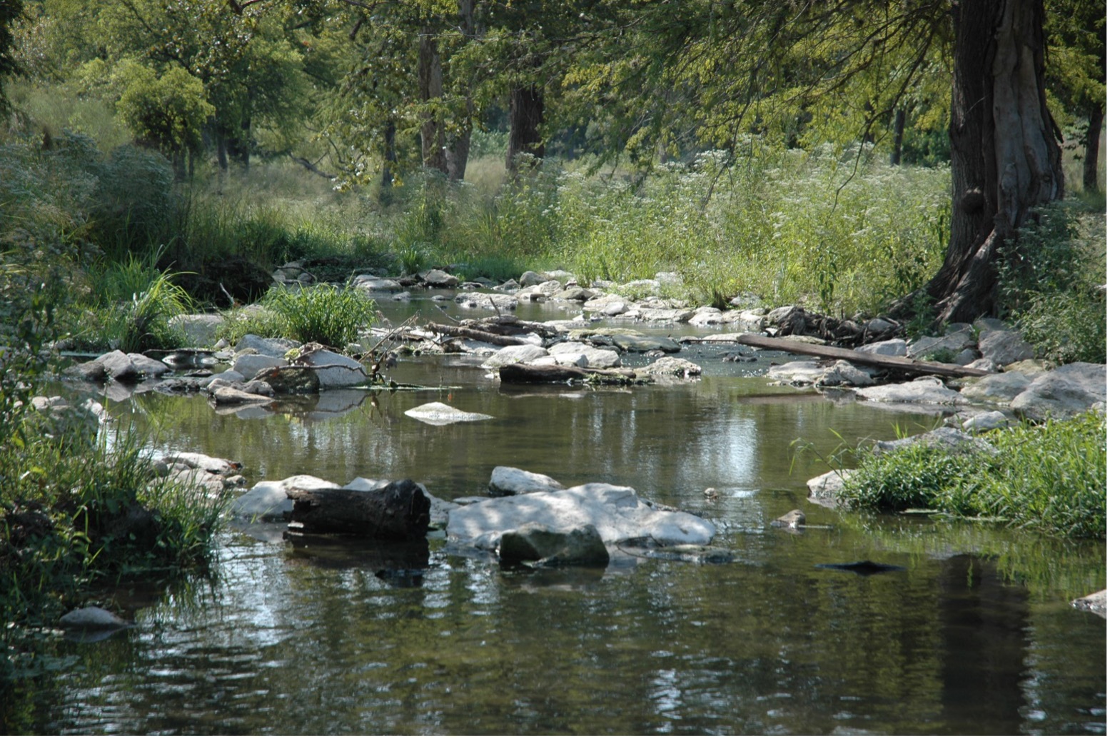
Cibolo Creek—Southeast of Boerne, TX
There is so much to know about water, from the general science to what happens to it right here. Working with my team, we get to connect those general properties to what is going on with our river, and we get to develop ways to make it cleaner, safer, and more enjoyable:
- Water is a solvent; it is cleansing – which is excellent for cleaning ourselves and our possessions. However, it also means it is cleaning our rooftops, our driveways, our parking lots, and our industrial facilities. If we aren’t careful, the funk it picks up can end up messing up our drinking water supply or our swimming and fishing holes. My team studies how pollutants are picked up by water and carried into our creeks and rivers. Through our water quality modeling program under Dr. Sheeba Thomas’s direction, we identify where we most need to intervene to protect and keep our water bodies clean.
- Water is adhesive and cohesive; it sticks together (think of water droplets) and sticks to things (think of dew on grass). These properties of water keep the soil moist and help it travel up a plant’s roots. Soil moisture and how much the ground’s capacity to absorb water play a role in how much rainfall will turn into runoff in a storm—a significant factor in both water quality and flood modeling. Plants also play a role in improving water quality, taking up nutrients with the water they drink as one example. Our Nature Based Solutions program under Karen Bishop collaborates with the water quality modeling program to identify ways nature can improve water quality, as it exists already or as we can incorporate it into engineered solutions.
- Water is heavy and powerful. Water-covered roads can be deceiving. Even shallow water can move a car if it is flowing fast enough. Studying the movement and flow of water is essential to our team’s understanding of flood risk. Wayne Tschirhart oversees our dam engineering and predictive flood modeling efforts. Yasmin Ramones and Jose Fernandez oversee our floodplain modeling and mapping work. Both teams must study how rain moves downhill into creeks, how fast it goes, and how deep it gets under various rainfall scenarios. As we develop our understanding of flood risk in our area, we plan mitigation projects to make our creeks safer and more stable.
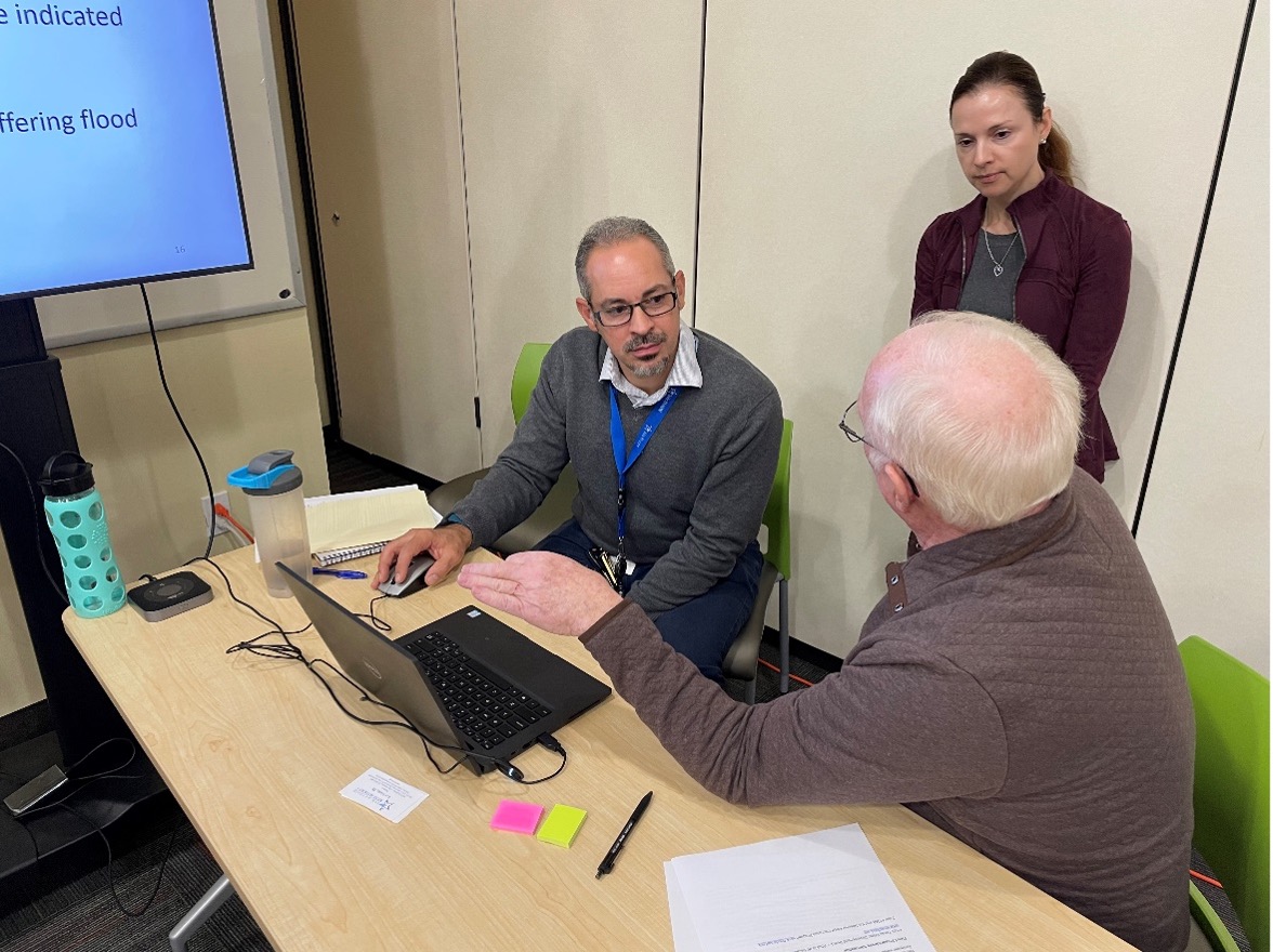
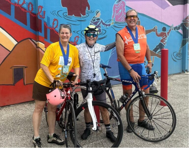
The River Authority hosted 13 open houses this year throughout Bexar County for the public to view new draft floodplain maps alongside a River Authority engineer.
Putting all this knowledge into practice, producing models, maps, and tools is the work of years, even decades. For example, the data development for the draft floodplain maps we released earlier this year began in 2017, the modeling started in 2019, and the final maps aren’t expected to be finished until at least 2024. It takes patience, persistence, and focus from a great team to see it through, but it’s worth it when we think of how it might improve life and safety for the people and places around us.
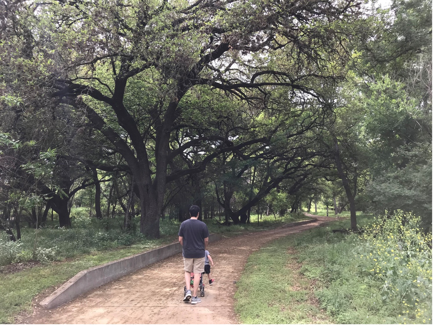
Exploring the Salado Creek Greenway trails with my family.
Over the years, in my work with the River Authority and as a citizen of San Antonio, I have developed a fondness for and a connection to the other creeks around town besides just the Cibolo. The Greenway Trails system made that connection possible. My husband and I trained for a marathon running along the Leon Creek trails, and we escaped the cabin fever of COVID with an infant and a toddler along the Salado Creek trails. My work allows me to see the trails as a great deal more than recreation. They pass through areas that cradle floodwaters, settle out pollution, and keep us safe. I hope you are able to enjoy them too – on sunny days, with gratitude for the work they do when it rains.