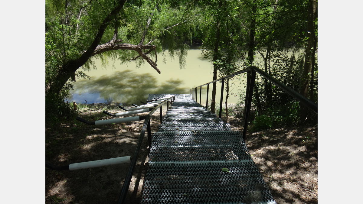
Access Information
Access Point Located at:
1777 N. Riverdale LN, Goliad, TX 77963
The full trail is approximately 18 miles in length, with an average float time of 8–9 hours depending on flow conditions and paddling experience.
Discovery Information
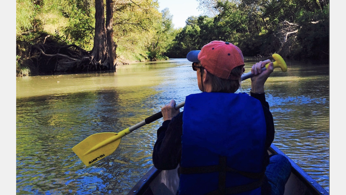
The Goliad Paddling Trail meanders through an area steeped in Texas history. Be sure to bring your binoculars because this region is renowned for its unique wildlife. You might catch a glimpse of the rare migratory birds that use this part of the San Antonio River as a corridor to the nearby coast. This trail has been officially designated a Texas Inland Paddling Trail and is a partnership with the Texas Parks and Wildlife Department, the San Antonio River Authority, Texas Department of Transportation, Goliad County and the citizen nonprofit group Canoe Trail Goliad, Inc. Once you finish your paddling journey, have fun exploring the Goliad State Park’s Espíritu Santo Mission.
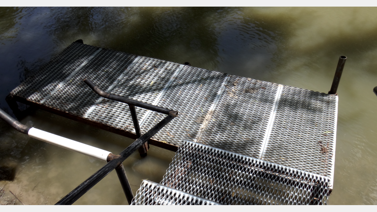
Paddling Trail Amenities:
- Canoe Shoots or Riffles: No
- Cell Phone Access: None
- Landscape Type: Rural
- Bring Ample Drinking Water
- Log Jams may be present
- Banks are mostly soft mud
- Midpoint takeout at Ferry Street (mile 5)
Paddling Trail Gallery:
Paddling Trail Map
Paddling Trail Details:
- Difficulty: Experience Recommended
- Distance: 18 Miles
- Float Time: 8-9 hours
- Users Must Pay day-use fee at Goliad State Park to takeout there
Downloadable Resources:
Canoe Trail Goliad Phased Development Plan
Working with the San Antonio River Authority, Canoe Trail Goliad has completed a Phased Development Plan for future access sites and extensions of the Goliad Paddling Trail along the San Antonio River in Goliad County.
Goliad Paddling Trail - GPX
These files are compatible with smartphone apps such as GPX Viewer and Track Viewer. Download the files onto your device and check out your paddling trail before you head out on the water. Disclaimer, smartphone GPS tracking applications vary in their accuracy.
Goliad Paddling Trail - KMZ
These files are compatible with software/smartphone apps such as Google Earth and Esri ArcGIS. Download the files onto your device and check out your paddling trail before you head out on the water. Disclaimer, devices vary in their accuracy.
San Antonio River Basin Guide
A collection of parks, trails, and historic destinations throughout the San Antonio River Basin, including Bexar, Wilson, Karnes and Goliad Counties as well as the San Antonio River Walk (Downtown, Museum Reach and Mission Reach).