Last Updated on January 4, 2024
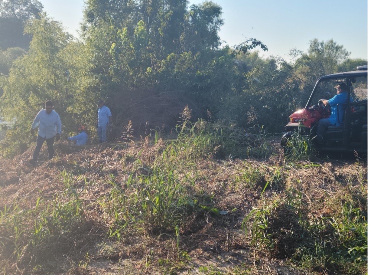
(SAN ANTONIO,TX) – Beginning this week, teams of San Antonio River Authority (River Authority) experts will begin stem density removal efforts along the Mission Reach in order to maintain the flood conveyance requirements as set forth by the U.S. Army Corps of Engineers (USACE) and the Federal Emergency Management Agency (FEMA). The effort is slated to last through the end of 2023, and will focus on three stretches of the San Antonio River Basin: from Mission Road to Roosevelt Road; Hot Wells to Padre Park; and Acequia Park to Bergs Mill.
“These stem density efforts are a routine part of the preservation and flood control efforts associated with supporting and maintaining the Mission Reach ecosystem for all to enjoy–humans and wildlife alike,” said Tommy Mitchell, Manager of Watershed & Park Operations for the River Authority. “Although seemingly counterintuitive, stem removal is actually essential to ensuring proper flow of flood water, supports diversity of tree species and ultimately, helps keep our residential, migratory, and wildlife communities safe.”
Trees originally planted as part of the ecosystem restoration project will be preserved, while additional “volunteer” trees and woody vegetation that arrived since the opening of the project will be mulched. The River Authority’s engineering staff utilizes the most up-to-date floodplain maps along with other engineering software and on-the-ground evaluations to review the vegetation zones and update stem density values for stem count per acre that must be achieved to maintain the project’s top priority, which is flood protection.
During the removal process, trail access will be intermittently impacted. All material removed during the effort will be mulched to support grassland restoration, and roots will remain in place for bank stabilization.
For additional information about annual stem density removal efforts, visit sariverauthority.org.