RIVER CAMP! Celebrating National Estuaries Week

Written by:

Posted on:

Categories:

Share:

Facebook
Twitter
LinkedIn
Email

Get The Latest:

Join our print or digital newsletter to be informed about the agency’s many projects and other news.

River Camp! A Virtual Education Series graphic

Last Updated on January 30, 2024

In our quarterly RIVER CAMP! series, we invite younger supporters of the San Antonio River (and those young at heart) to learn more about this precious freshwater resource. Tune in for educational information, river-centric activities, great videos, and even ways families can take personal actions for a sustainable river!

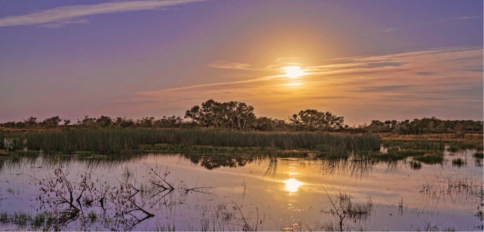
Imagine the serene spot where a gently flowing river meets the ocean. Where freshwater flows from the river into the salty water of the sea, you can find a unique ecosystem called an estuary.

In celebration of National Estuaries Week, let’s dive into this important ecosystem. Read on to learn more!

What is an estuary?

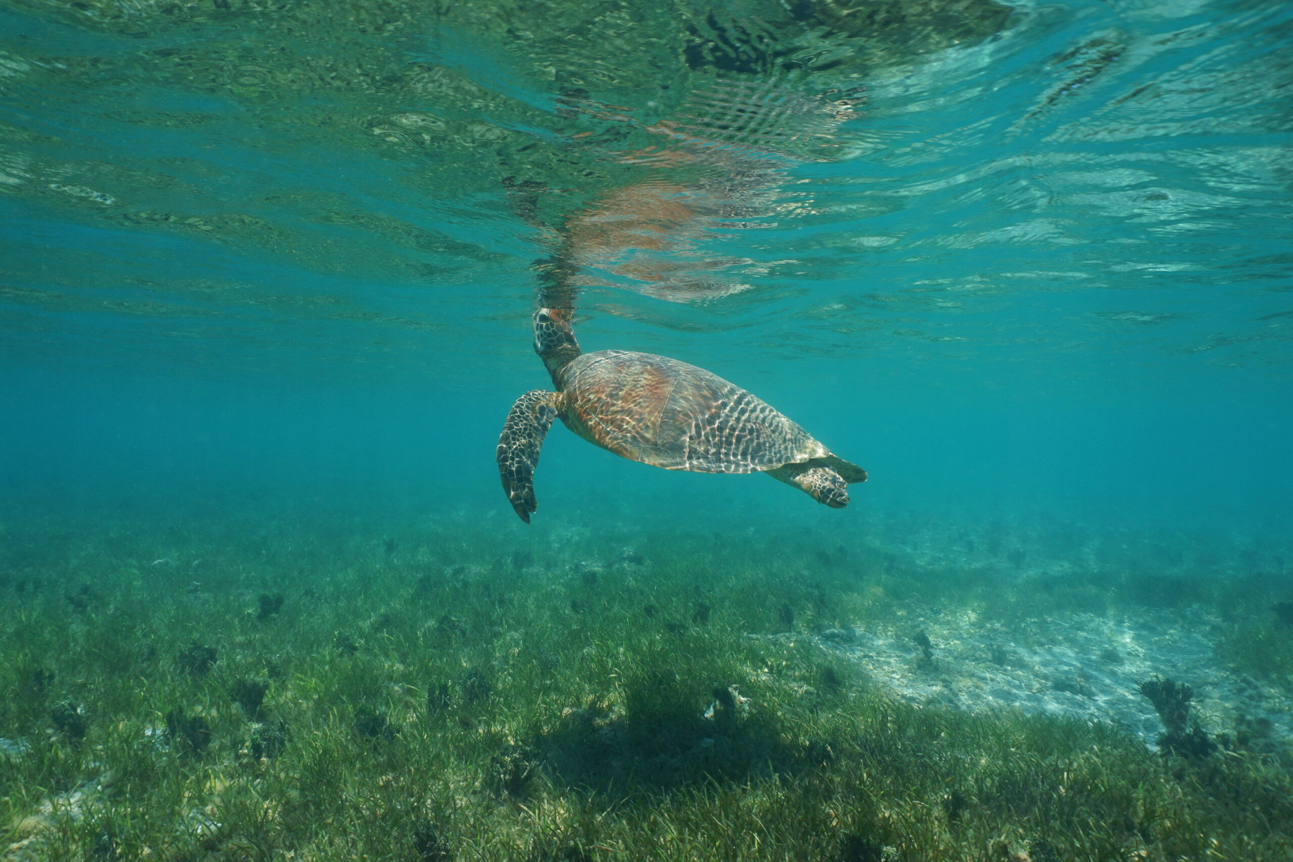
Estuaries are bodies of water that form where rivers meet the ocean and mix freshwater with saltwater; think of it as a river-ocean handshake! The mixing of these waters is a very important feature of this ecosystem that sustains many different kinds of plant and animal communities.

Sea turtle under water

Is San Antonio Bay an estuary?

After the San Antonio River has traveled 240 miles from its headwaters in San Antonio, it merges with the Guadalupe River before their waters enter San Antonio Bay. The bay is a large part of the Guadalupe Estuary, which consists of Mission Lake, Hynes Bay, Espiritu Santo Bay, and Mesquite Bay. Many migratory birds who navigate the North American Central Flyway rely on this estuary ecosystem to rest before continuing their journey. Some birds, like the Whooping Crane, conclude their seasonal migration once they have reached the bay.

A Whooping Crane with fish in its mouth

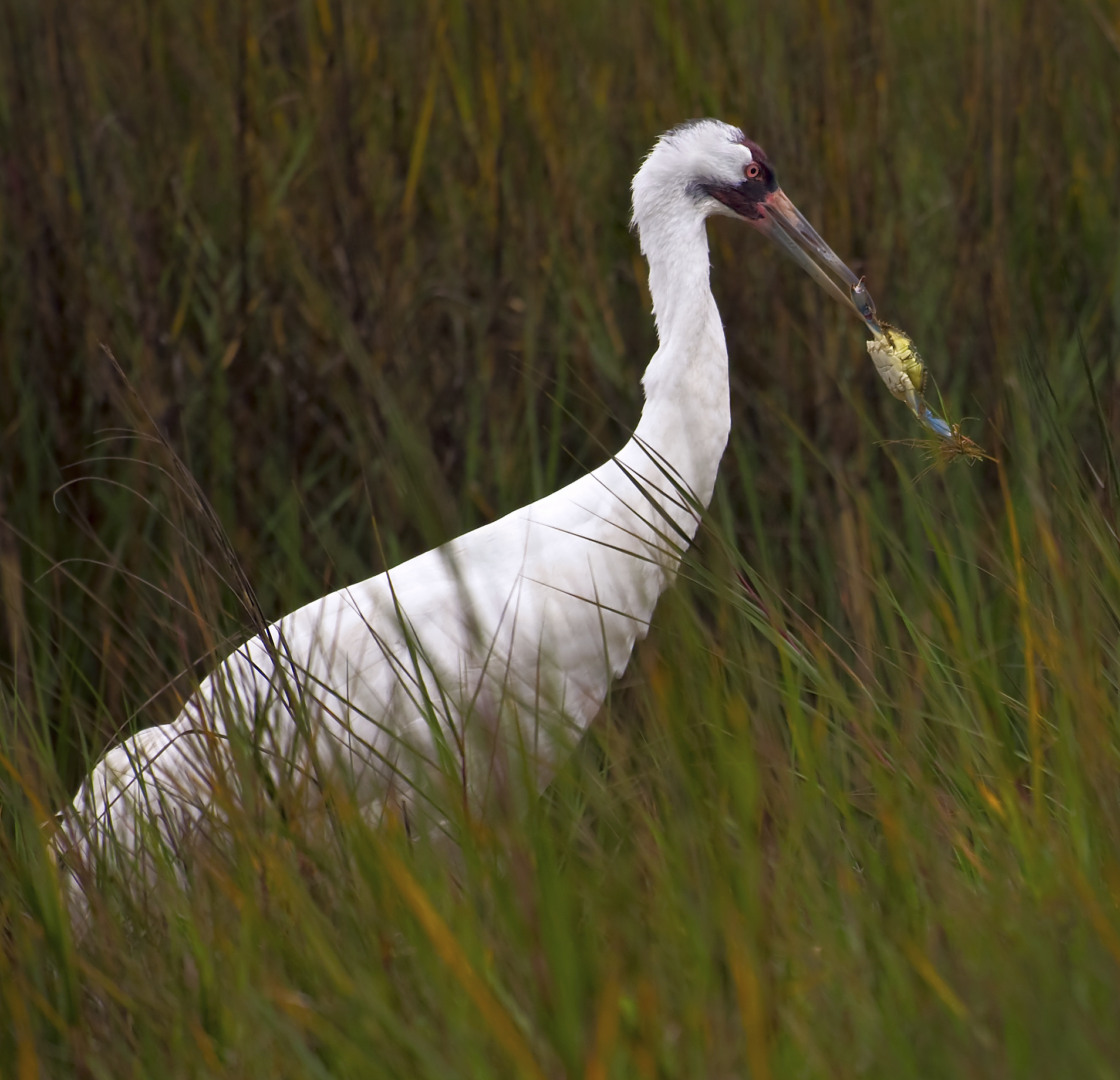
Whooping Cranes are the tallest bird in North America, growing up to 5 feet tall! Right: The North American Central Flyway (Artwork courtesy Texas Parks and Wildlife Department)

Why are estuaries important?

Estuaries provide many benefits to the plants, animals, and people who live nearby. Strong storms that strike the Texas coast are protected by estuaries. They protect the coast by absorbing the storm surges like a sponge and provide a barrier to keep inland plants and animals safe from the waves and wind. Estuaries commonly contain seagrasses—underwater grasses that produce oxygen, provide shelter to native species, help with erosion control, and maintain clear water by holding the ground in place with their roots. Additionally, estuaries offer a serene environment where people of all ages can recreate safely. From paddling to fishing to birdwatching, there are many activities you can enjoy!

Two women with binoculars in a field bird watching.

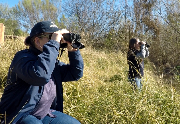
Speaking of birdwatching, remember the Whooping Crane we mentioned earlier? If you visit San Antonio Bay between October and April, you may be lucky enough to spot one of these rare birds! Why are they rare, you ask? Well, unfortunately, the Whooping Crane is endangered. In fact, their population shrank to only 16 birds back in 1941! Thankfully, efforts to support these fantastic creatures have boosted their numbers to around 500 birds today. Celebrate their current population numbers by making your own whooping crane sock puppet.

Since Whooping Cranes rely on just the right balance of saltwater from the gulf and freshwater from incoming rivers, we must do our part to make sure there is a healthy flow of clean freshwater from the San Antonio River into the bay.

How can we keep bays and estuaries healthy?

People who live within the San Antonio River Watershed have the power to positively or negatively impact the valuable habitat that San Antonio Bay provides. By being careful of the freshwater we consume, especially during a drought, we can reduce the stress on our water reserves and help maintain an adequate flow of freshwater in the river. We can also keep the land clean to prevent pollution from reaching our local waterways. Finally, supporting or installing green infrastructure features in your community help to prevent polluted stormwater runoff from entering our local creeks and the San Antonio River. Together we can benefit these essential and delicate ecosystems so that they can benefit us!

Sunset view of the San Antonio Bay.


The River Reach is back!

River Reach is a quarterly, 12-page newsletter that is designed to inform the San Antonio River Authority’s constituents about the agency’s many projects, serve as a communication vehicle for the board of directors and foster a sense of unity and identity among the residents of Bexar, Wilson, Karnes, and Goliad counties.

If you wish to be placed on the mailing list for River Reach, please contact us or complete the form.

Related Articles

My River POV: Lee Marlowe

It was easy to fall in love with the natural resources of Texas while growing up near a ditch adjacent to woodlands in...

Alerts

Mission Reach Area Maintenance

*FEBRUARY 2026 UPDATE*

Acequia Park Trailhead will be temporarily closed due to ongoing Stem Density work. The closure area includes the section south of Theo Avenue and Probandt Street, extending south to Mission Road. Currently, work is taking place only on the west bank and working it’s way north of the trail. The east bank portion of the project has been completed. Ongoing work will take place from Monday mornings through late Thursday afternoons. We appreciate your patience as we complete this important work to maintain and improve the park area.

When: Beginning October 20, 2025 through Spring 2026
What: Crews will be performing stem-density removal and related vegetation maintenance along sections of the Mission Reach to help manage flood risk and protect surrounding infrastructure. Some trails or segments may be closed temporarily while work is underway.
Why: Removing excess stems that naturally establish along the river helps maintain stormwater conveyance, reduces flood risk, and protects public infrastructure while allowing grassland and native vegetation to recover and thrive.
What to expect:

  • Limited trail closures and intermittent work zones.
  • Crews and equipment working near the riverbanks during daytime hours.
  • Parking areas remain open, but visitors may see signage and temporary barriers.

Questions? Call the San Antonio River Authority at (210) 227-1373 or visit https://www.sariverauthority.org/services/river-health/ecosystems/.

Thank you for your patience while we keep the Mission Reach safe, clean, and enjoyable.


The Brackenridge Trail

Trail Lighting Notice – Brackenridge Park Trail

Due to an electrical issue, lighting is currently out along the north portion of the trail, from the Josephine Street inlet to just past Highway 281 within the Brackenridge Park Trail. Our team is actively working to correct the issue and expects repairs to be completed by the end of business tomorrow.

We apologize for any inconvenience this may cause and appreciate your patience as we work to restore lighting. Please use caution when traveling through this area, especially during evening hours.

Trail Closure Alert – Calder Alley, San Pedro Creek

Maintenance work will be done in Calder Alley starting Wednesday, September 18, 2025.

  • Trails will remain open during this work.
  • One bench at a time will be temporarily barricaded while improvements are completed.
  • There may be occasional contractor pickups in the area.

We appreciate your patience as we continue to maintain and improve San Pedro Creek for all to enjoy!

SASPAMCO Paddling Trail

The SASPAMCO paddling trail is open from River Crossing Park to Helton Nature Park.
*Please Note: Paddling Trail from Helton Nature Park to HWY 97 is still closed due to blockages. 

SASPAMCO Paddling Trail Temporarily Closed

Staff have removed two large log jams just downstream of Helton Nature Park, keeping the southern portion of the SASPAMCO Paddling Trail temporarily closed. Staff are working to contact adjacent landowners to support a land-based removal solution.

Goliad Paddling Trail Alert

NOTICE: HWY 59 Landing Site Closed

Due to TxDOT construction on the HWY 59 Bridge, the HWY 59 landing site is closed until further notice. However, the Goliad Paddling Trail remains open, and paddlers can still access the river at the Riverdale, Ferry Street, and Goliad State Park landings.

Please plan accordingly and check back for updates.

River Reach Newsletter and Blog Signup

River Reach is offered as a printed, physical mailing to your residence or business. The Blog is a weekly electronic email with news and updates in order to be more environmentally conscious. Please fill out the form below and indicate your preferred method of delivery.

By submitting this form, you are consenting to receive marketing materials from: San Antonio River Authority, 100 East Guenther St., San Antonio, TX, 78204, US. You can revoke your consent to receive emails at any time by using the SafeUnsubscribe® link, found at the bottom of every email. Emails are serviced by Constant Contact. This site is protected by reCAPTCHA and the Google Privacy Policy and Terms of Service apply.