Access Information
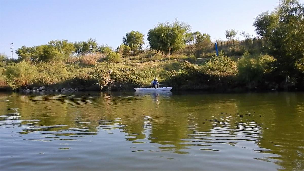
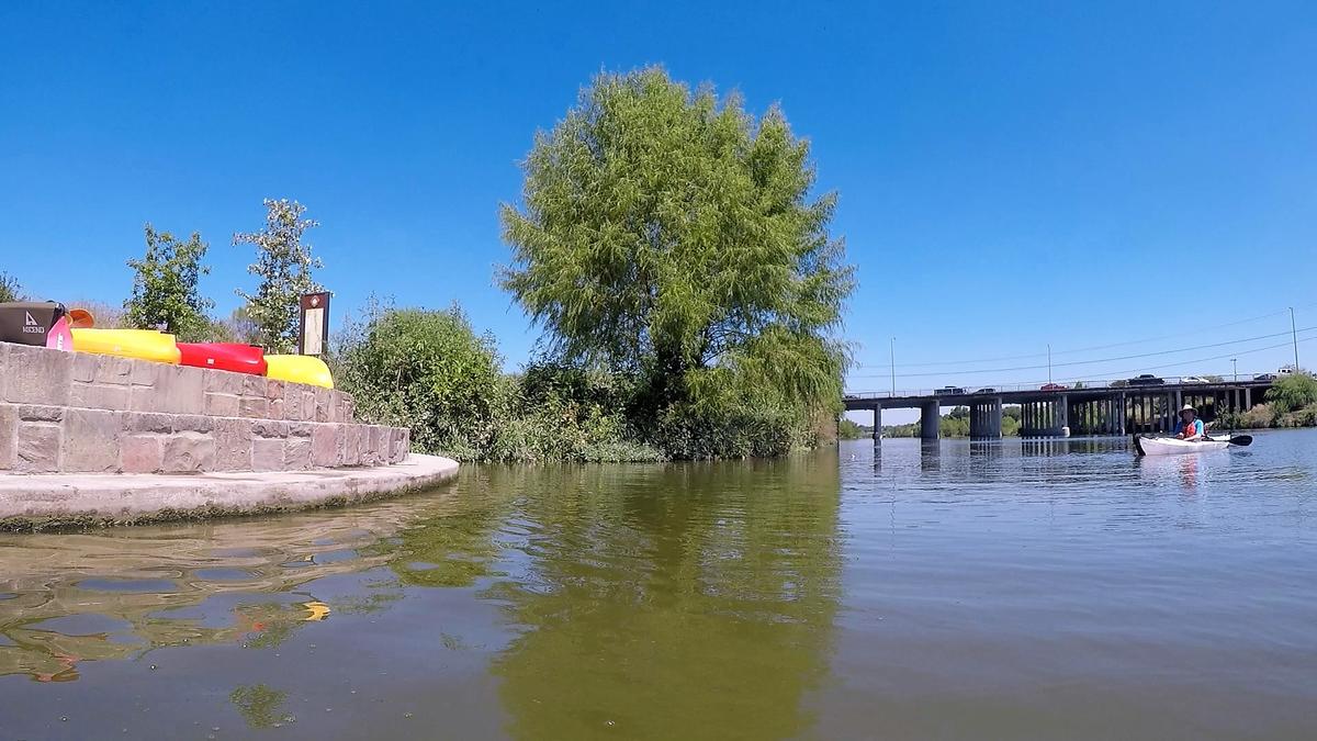
The first launch area is found in Roosevelt Park near Lone Star Blvd with multiple access points designated by a blue pole throughout the 8 mile trail. Some access points have steps to the water and some are natural paths. The last take out area is at Camino Couhuilteca near Mission Espada.
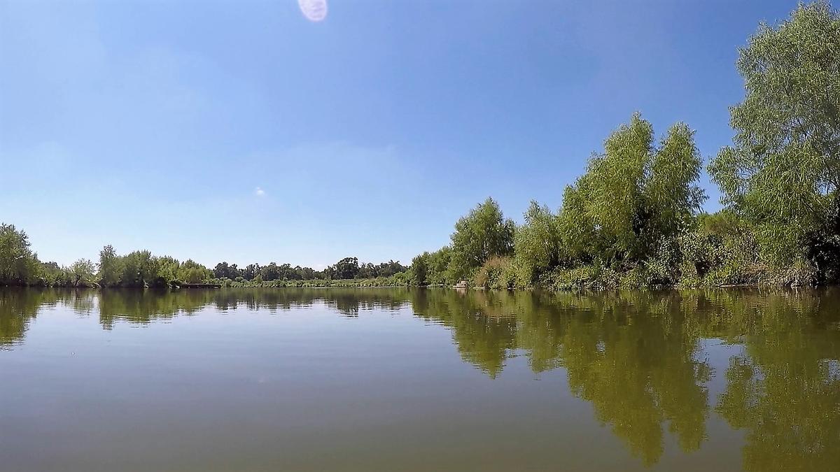
The Davis Lake area, just before Espada Dam, is one of only two areas where standup paddle boarding is allowed on the San Antonio River in San Antonio.
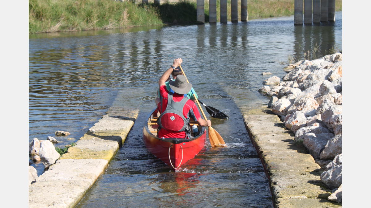
There is a portage necessary at Espada Dam 1200 feet South of SE Military Drive. Users will have to portage their watercraft around the dam and re-enter the river below Mission Parkway.
Discovery Information
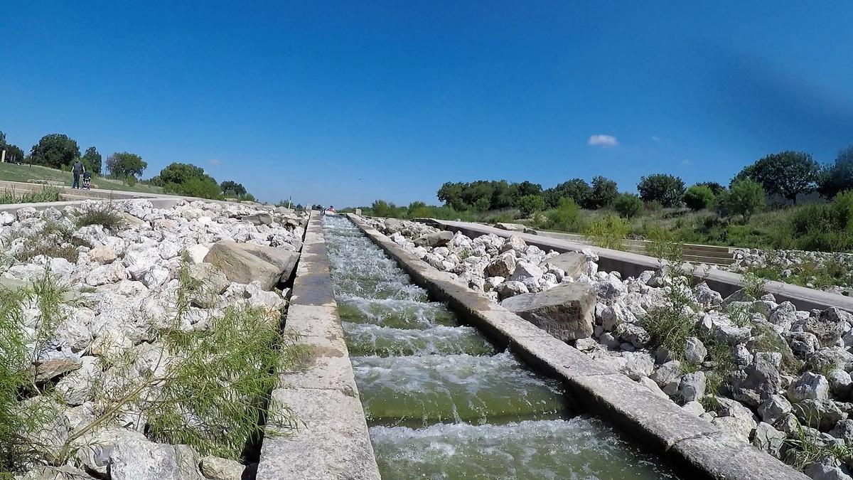
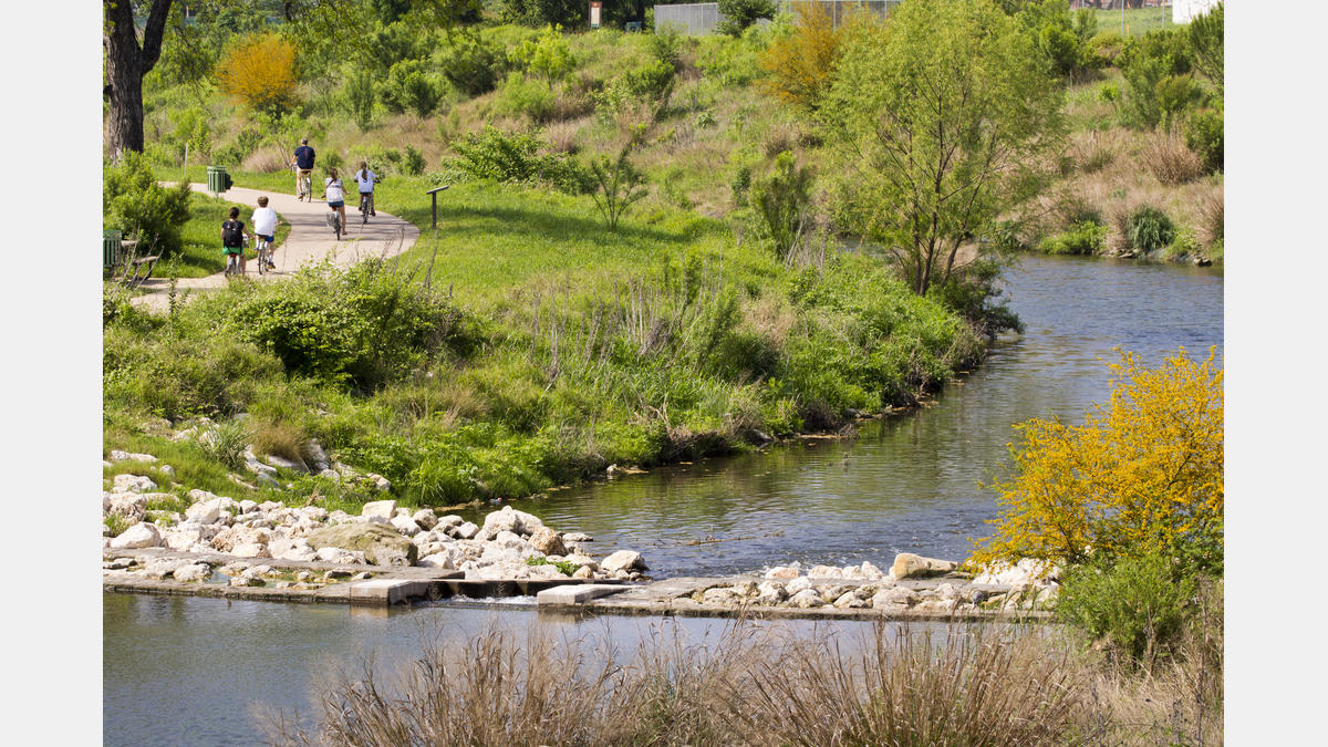
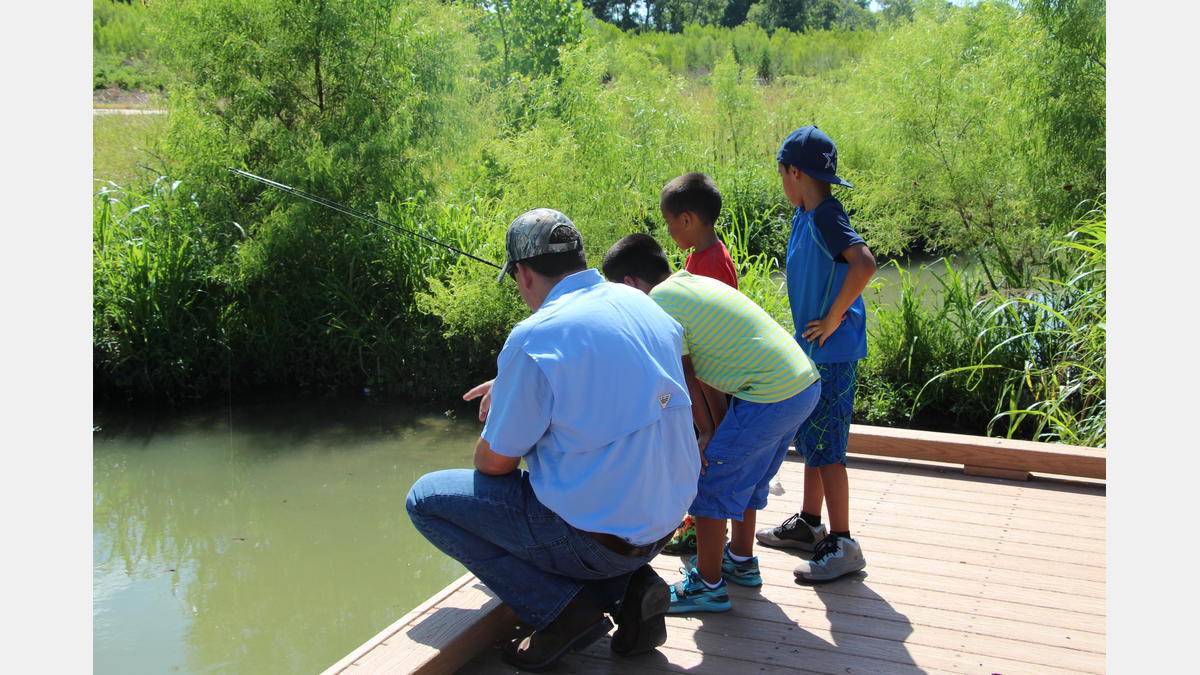
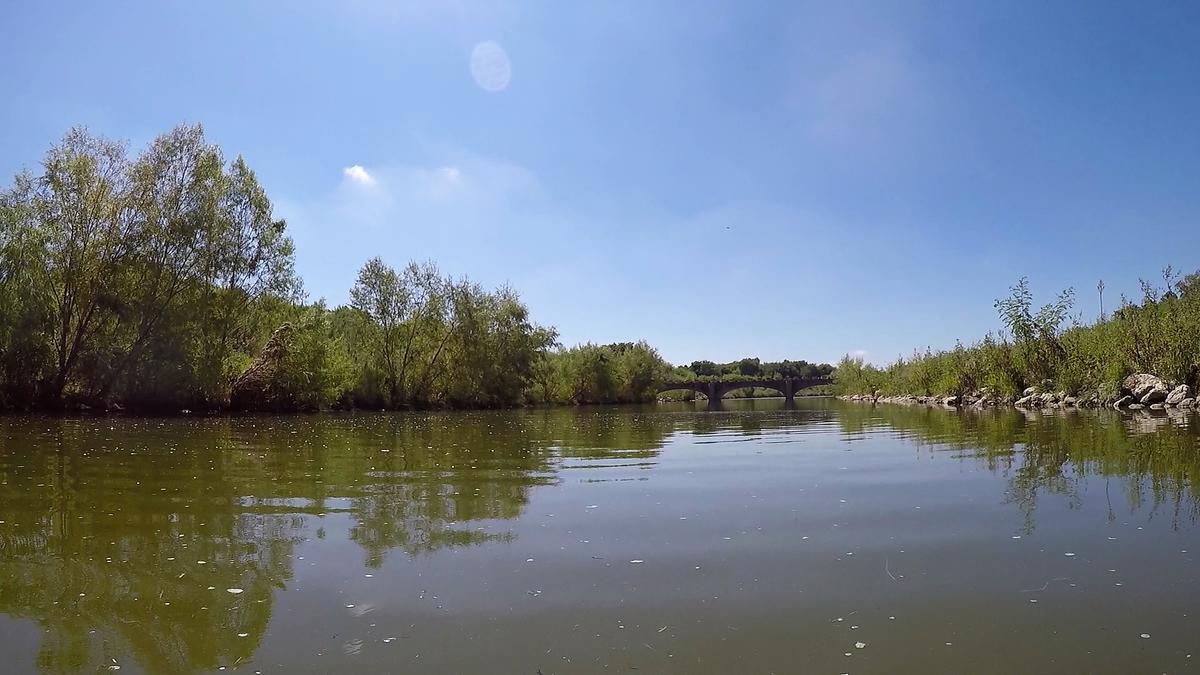
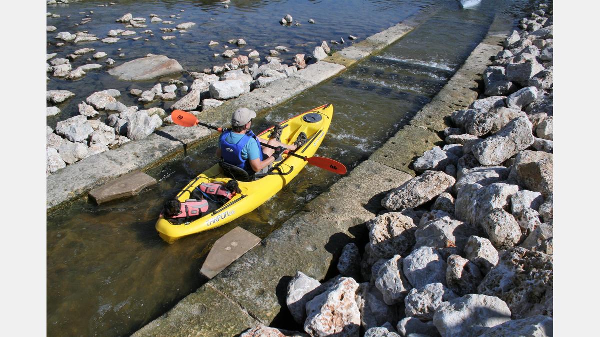
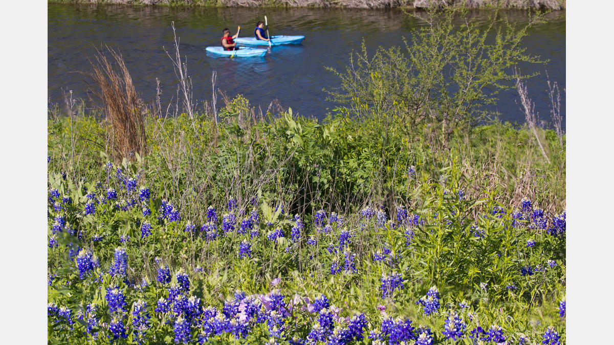
Just south of downtown San Antonio, the Mission Reach Paddling Trail is a gem that truly “has it all”. Here the San Antonio River’s waters journey through landscape important to San Antonio’s 300 year history. It is one of the nation’s largest examples of urban ecosystem restoration. There are 20+ Access Points marked by blue poles throughout the 8 mile stretch to launch, exit, and tailor your paddling adventure. You might enjoy the tranquil waters of the Davis Lake area which is a popular place to fish. Or you can take to the areas of the river that include riffle structures, constructed to improve aquatic habitat and outfitted with swift and fun paddling chutes. Located in the central flyway, you’ll spot a multitude of bird species, as well as fish, turtles, and other wildlife. Many of the access points are located at parks, making it convenient to launch, take breaks, or explore the area connected to the San Antonio Missions National Historic Park. Along with the Alamo, these missions were inscribed as a UNESCO World Heritage Site in 2015.
Paddle Trail Features:
- Canoe shoots and Riffles: YES
- Landscape Type: Urban
- Cell Phone Access: YES
- Bring ample drinking water
- One portage at mile 5 around the Espada Dam
- There is no shade
Paddle Trail Gallery:
Paddle Trail Map:
Paddle Trail Details:
- Difficulty: Beginner-Friendly
- Distance: 8 miles
- Float Time: 2-8 Hours
Downloadable Resources:
Mission Reach Paddling Trail - GPX
These files are compatible with smartphone apps such as GPX Viewer and Track Viewer. Download the files onto your device and check out your paddling trail before you head out on the water. Disclaimer, smartphone GPS tracking applications vary in their accuracy.
Mission Reach Paddling Trail - KMZ
These files are compatible with software/smartphone apps such as Google Earth and Esri ArcGIS. Download the files onto your device and check out your paddling trail before you head out on the water. Disclaimer, devices vary in their accuracy.
San Antonio River Basin Guide
A collection of parks, trails, and historic destinations throughout the San Antonio River Basin, including Bexar, Wilson, Karnes and Goliad Counties as well as the San Antonio River Walk (Downtown, Museum Reach and Mission Reach).