The River Road Ecosystem Restoration Project is a U.S. Army Corps of Engineers project supported by the San Antonio River Authority and Bexar County. The Corps conducted a feasibility study to identify potential restoration measures and recommended a plan to restore the health and function of this segment of the San Antonio River’s aquatic and riparian ecosystem. Through the Corps’ Fish Passage Program, the project will:
- implement channel restoration activities to remove non-native and invasive species and reestablish native aquatic plants
- improve fish passage and the quality of migratory and resident avian habitats
- mitigate erosion
- provide increased opportunities for birding, fishing, and other recreational opportunities
Partners
River Road FAQs
The opening of Allison Drive and closure of River Road would provide more access during flooding events. River Road is located within the floodplain and has been known to go underwater. Rerouting River Road to a previously closed Allison Drive would provide an additional outlet during flooding.
Invasive vegetative species within the study area include giant cane (Arundo donax), Bermudagrass (Cynodon dactylon), chinaberry tree (Melia azedarach), Chinese privet (Ligustrum sinense), elephant ear (Colocasia spp.), bastard cabbage (Rapistrum spp.), and lantana (Lantana camara).
An integrated pest management method would be utilized to remove invasive vegetative species. Hand-removal is possible with elephant ear and possibly with Chinese privet, depending on species/growth-form/coverage. Giant cane would require herbicide because the species can sprout back from below-ground biomass and make problems much worse.
The feasibility study is currently evaluating the options of leaving low water crossings in place, modifying low water crossings, or replacing the low water crossings. The selection of these alternatives will depend on the cost and benefit analysis conducted by the U.S. Army Corps of Engineers.
If the options to modify or replace the low water crossing low water crossings are selected, the river would begin to develop the form and function of a natural river system, as ecologically as possible within an urban area. The current over-large pool in the river would change to allow for a series of pools and riffles to provide aquatic habitat and natural river function. A Hydrology and Hydraulics analysis will be performed by the San Antonio River Authority during the design phase of the project to detail specific stream morphology.
Ensuring the continued access at the Woodlawn low water crossing has been a priority in this study. If the low water crossing at Woodlawn were to be removed, the crossing would be replaced with a pedestrian bridge. If the low water crossing were to be modified, the modification would still allow pedestrian access.
Fishing piers, birding spots, a walking trail, and designated parking are the current amenities being proposed. However, the team is open to suggestions from the public if there is any interest in other types of recreation features.
The U.S. Army Corps of Engineers has specifically contacted the American Indians in Texas at the Spanish Colonial Missions, The Comanche Nation, the City of San Antonio Archaeologist, The Kiowa Tribe of Oklahoma, The Apache Tribe of Oklahoma, the Texas Historical Commission, The Tonkawa Tribe of Oklahoma, the U.S. Fish and Wildlife Service, the Texas Parks and Wildlife Department, the Texas Commission on Environmental Quality, the Natural Resources Conservation Service, and the Environmental Protection Agency in the development of this project.
Parking can be provided if a trail is built for this project. A designated parking location has not been determined for this project.
The overall goal of the project is to improve the ecological systems, including improvement of bird habitat, within the study area.
During construction, birding would be negatively impacted by heavy machinery and noise. However, birding would be positively impacted by the project over the long-term. The project can implement methods that will increase vegetative diversity by removing invasive species and planting native species. Diversity along the river in the understory, mid-story, and overstory will increase the diversity of wildlife that inhabit or rest in the study area.
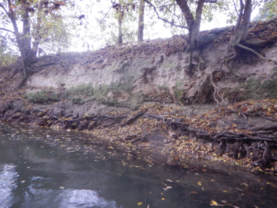
Each alternative evaluated will have its own benefits. The Draft document which is due to be released in 2020 will describe each alternative’s benefits and costs in detail. Generally, all the alternatives currently being studied aim to improve habitat, increase plant and animal diversity, and reduce erosion along the river. Invasive species removal and native species plantings will increase the buffer between the river, River Road, and either Avenue A or the golf course. This buffer will help dilute pollution entering the river and reduce erosion impacts through roots. Modification or removal of the low water crossings will also positively impact fish species by allowing fish passage downstream. These modifications or removals of low water crossings within the river can help reduce the amount of erosion occurring in this reach of the San Antonio River by maintaining natural function of the river. Excessive pooling within this section of the river is a factor that has contributed to the severe erosion occurring along River Road and Avenue A. Instream structures have the capability of protecting the river bank while also providing shelter and foraging habitat for fish and other aquatic wildlife.