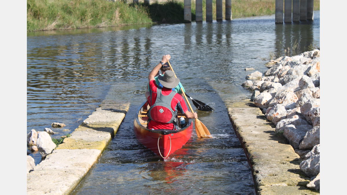
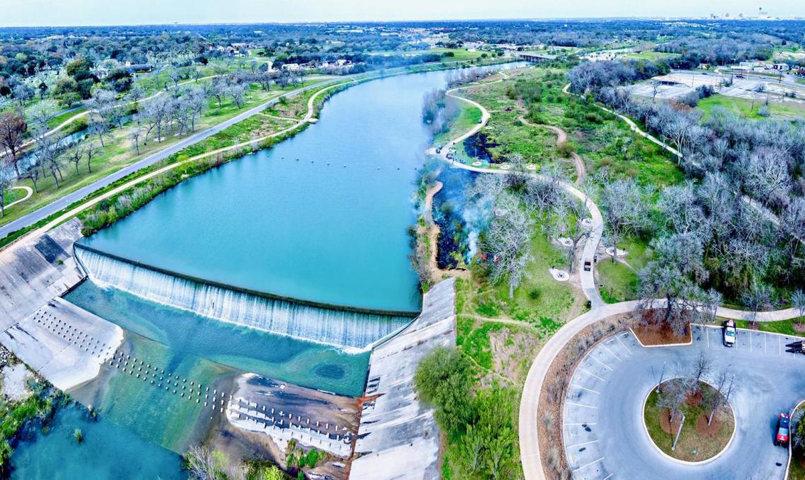
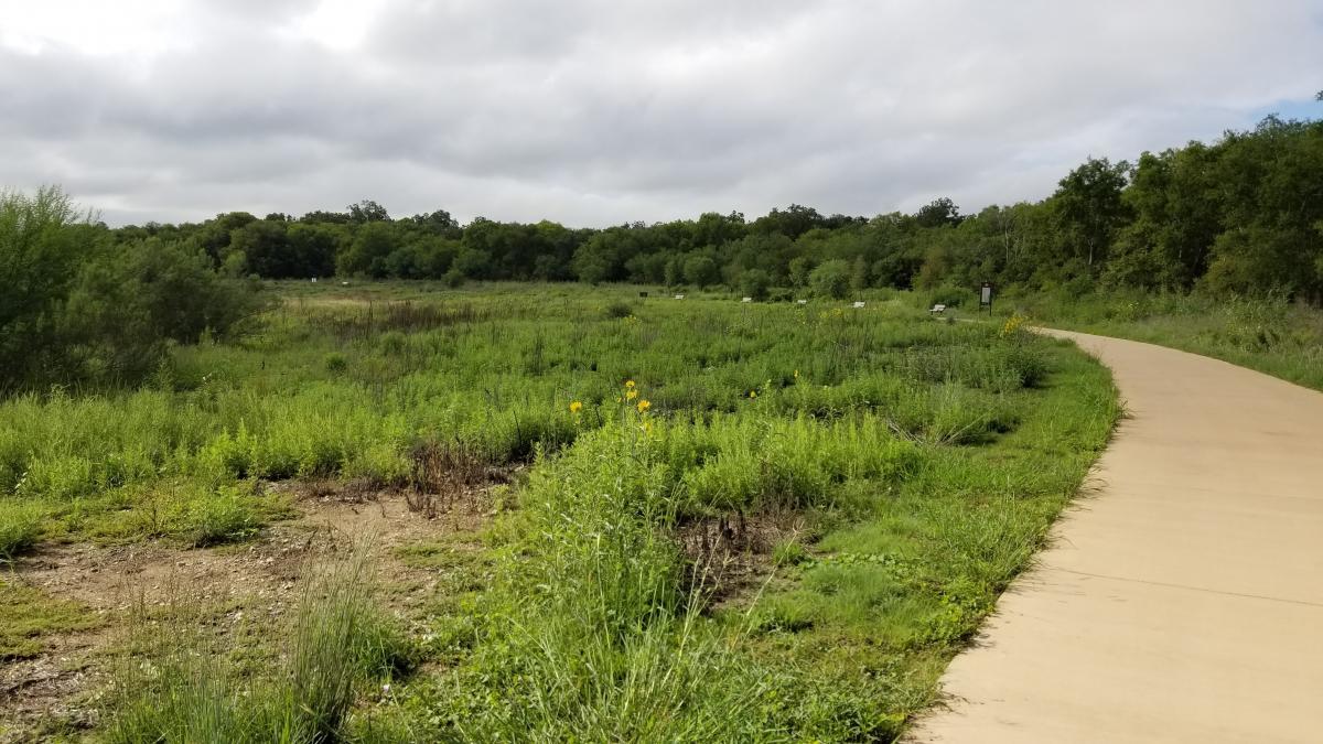
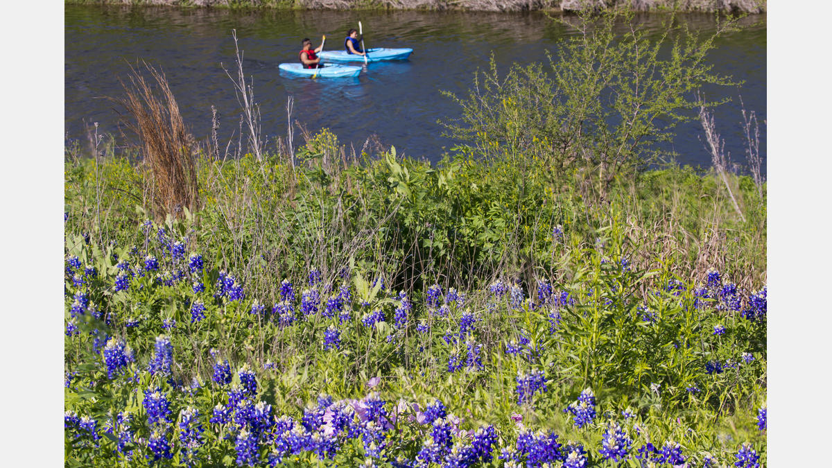
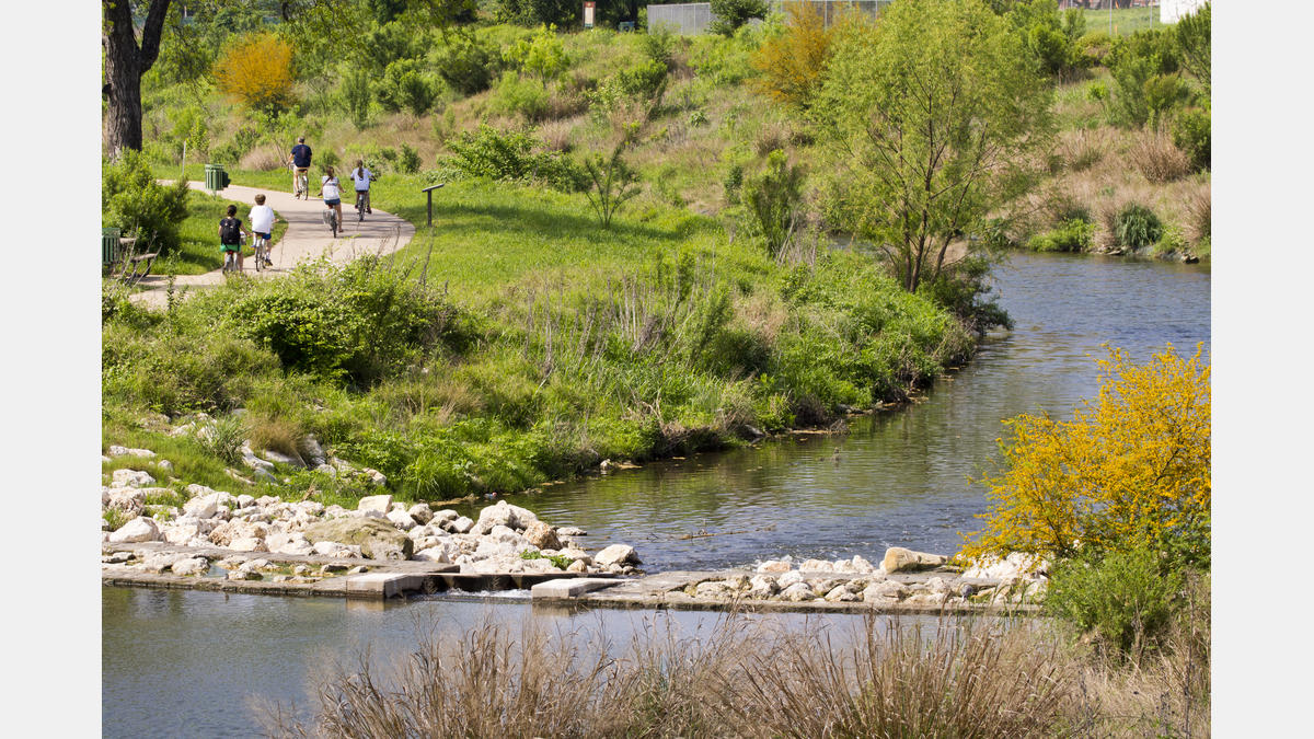
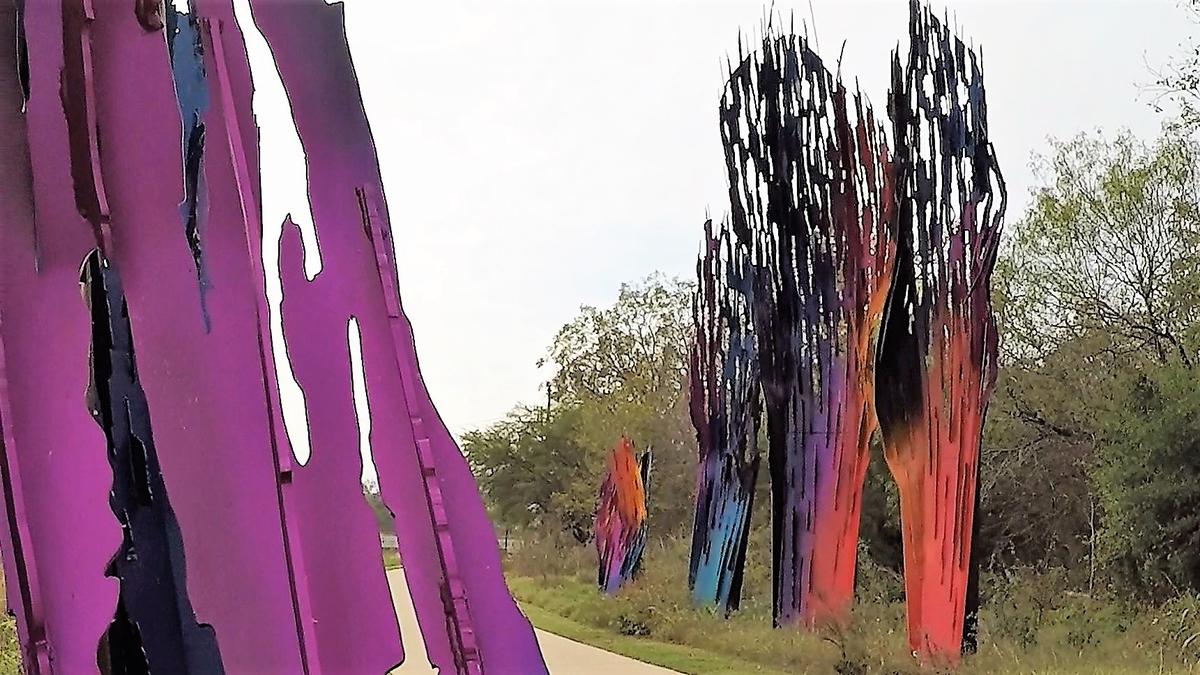
![]() Este parque lineal de 8 millas tiene más de 16 millas de senderos a lo largo del río para que disfruten los peatones y ciclistas, además de un sendero para remar en canoa y kayak. Estos senderos se conectan con impresionantes Portales de la Misión, que son grandes obras de arte que sirven como puertas de entrada a los Sitios de la Misión del Patrimonio Mundial de San Antonio.
Este parque lineal de 8 millas tiene más de 16 millas de senderos a lo largo del río para que disfruten los peatones y ciclistas, además de un sendero para remar en canoa y kayak. Estos senderos se conectan con impresionantes Portales de la Misión, que son grandes obras de arte que sirven como puertas de entrada a los Sitios de la Misión del Patrimonio Mundial de San Antonio.
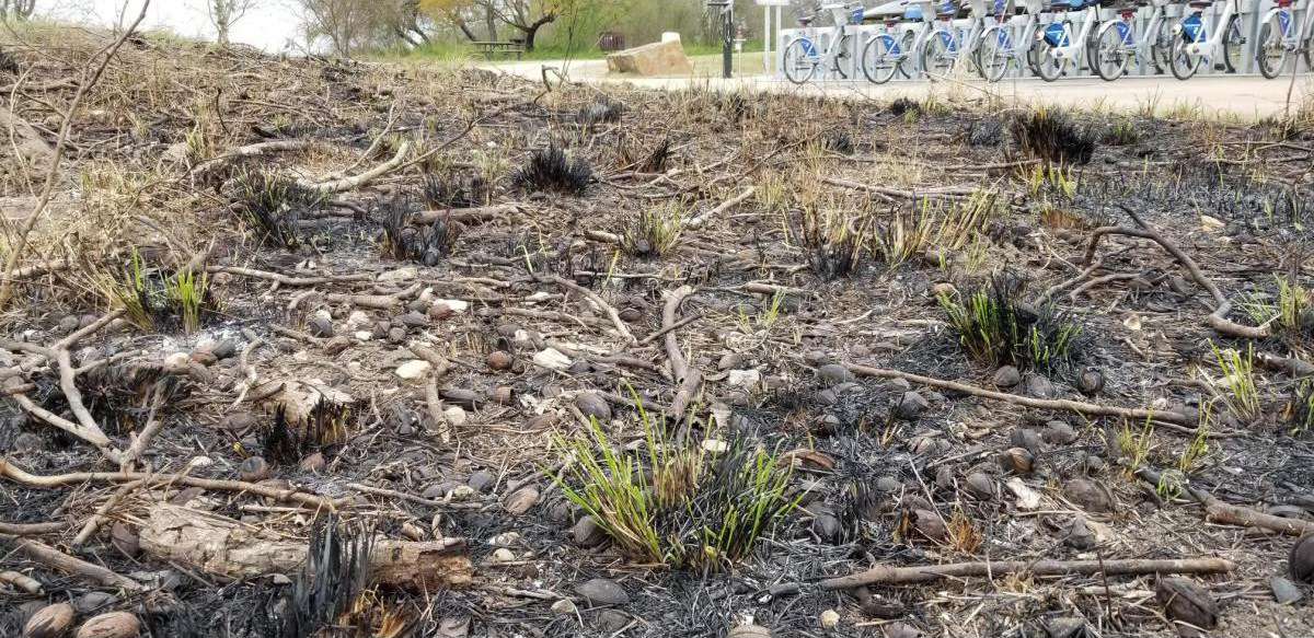
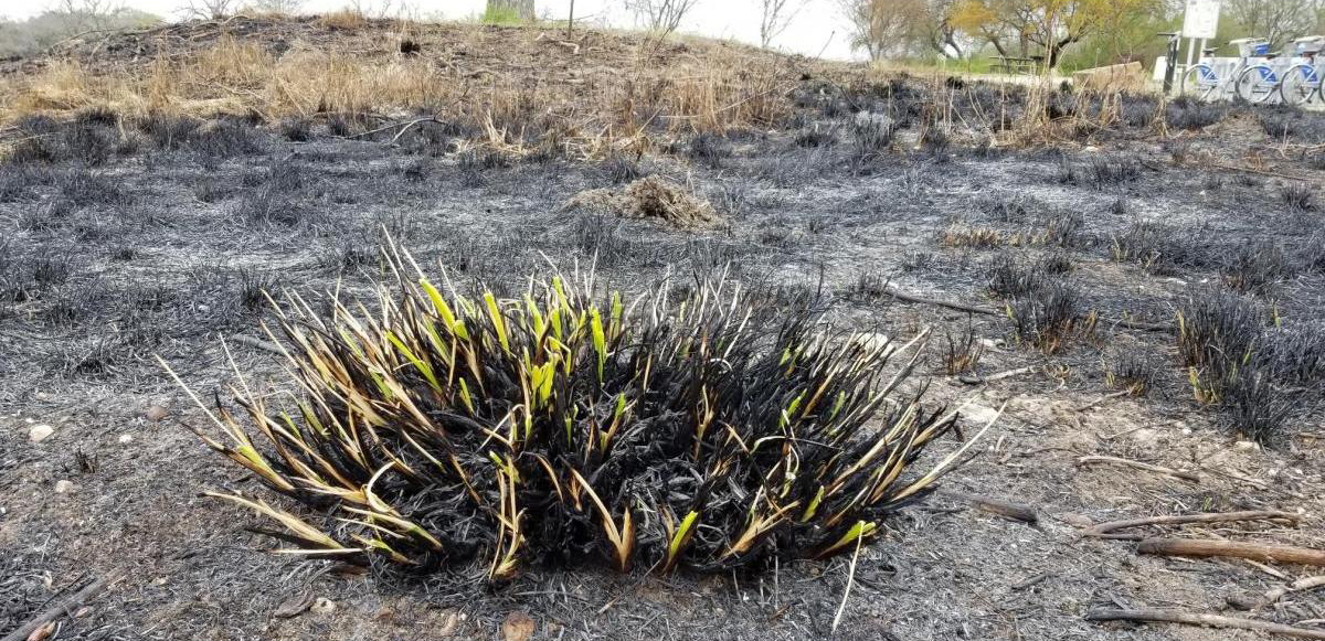
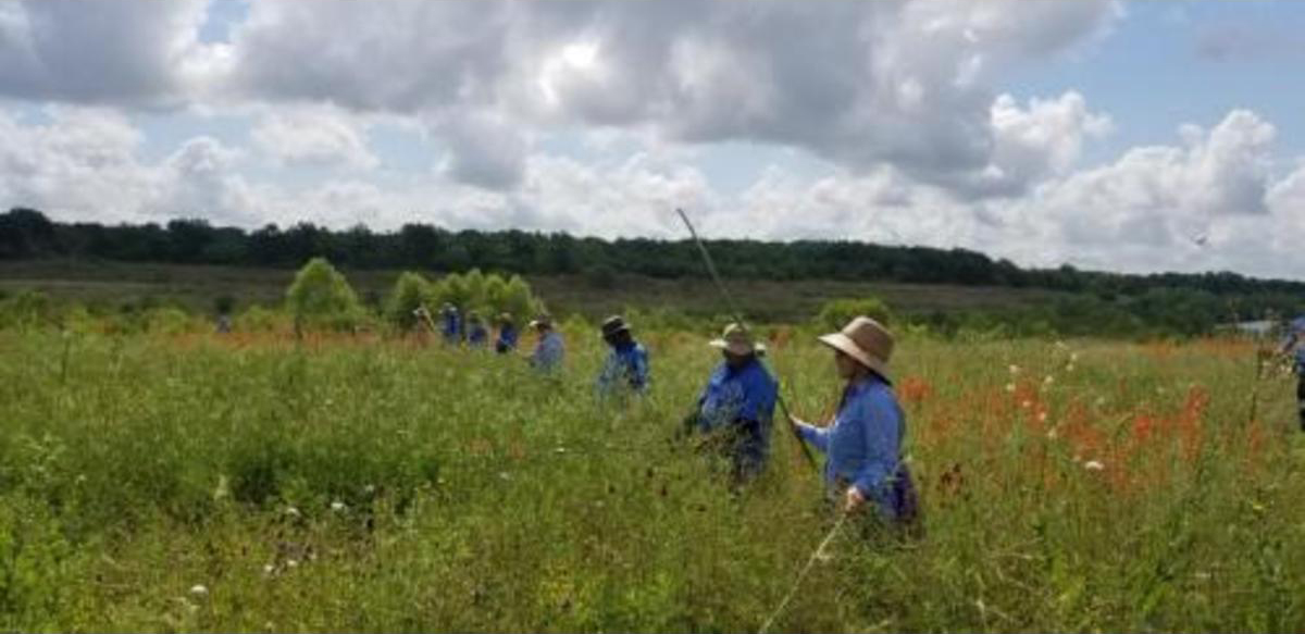
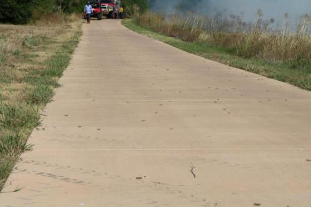
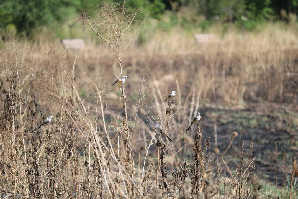
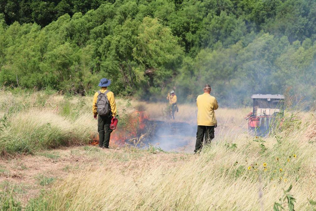
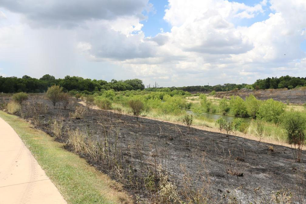
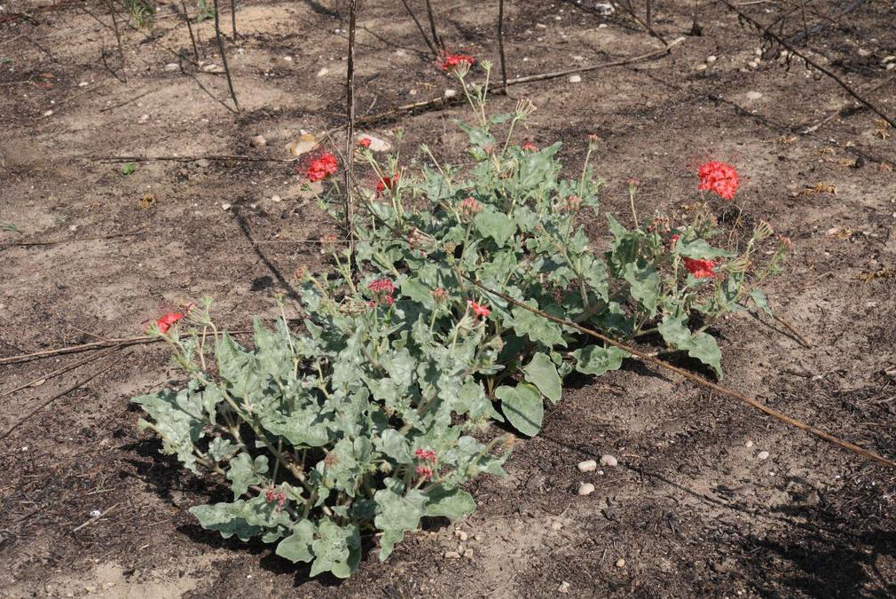
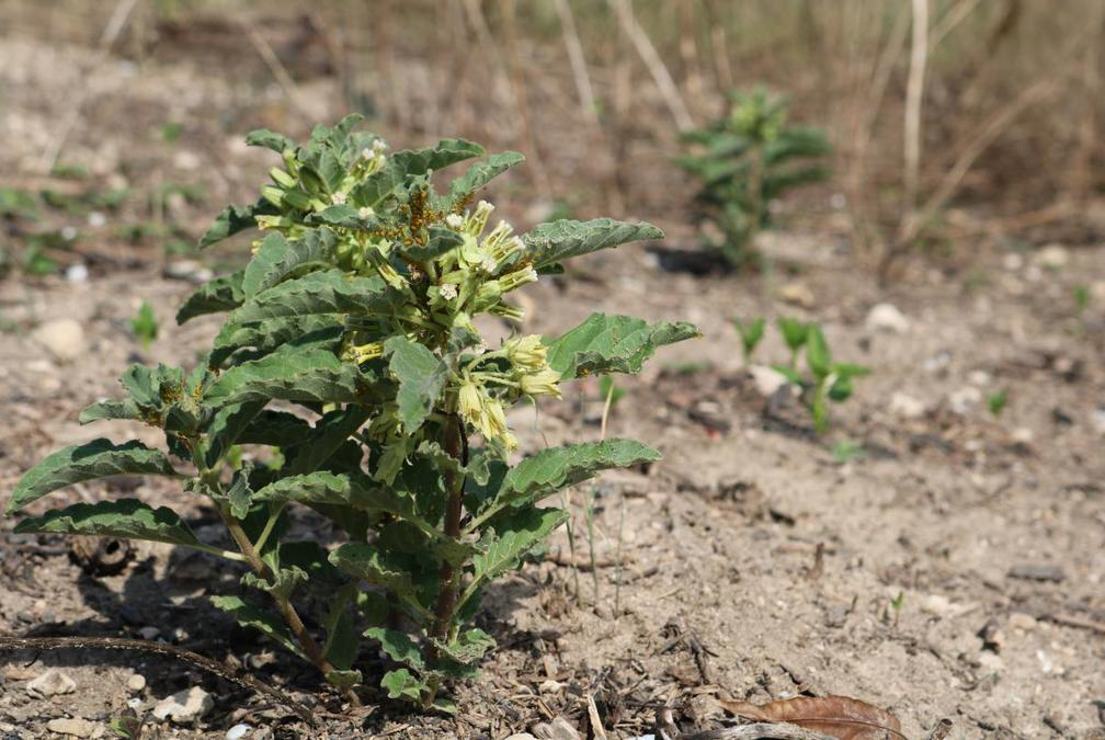
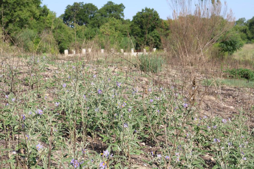
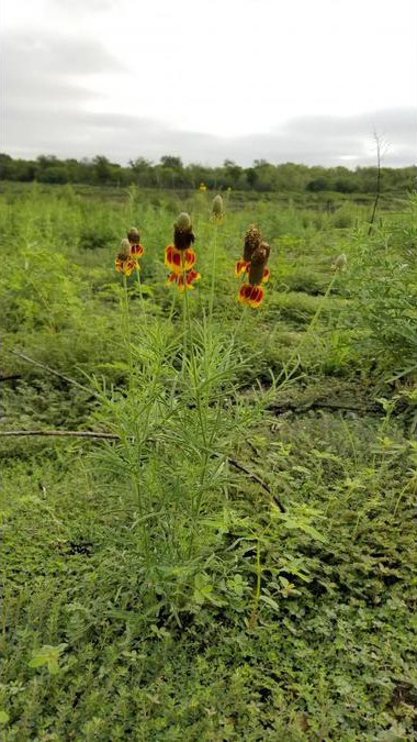
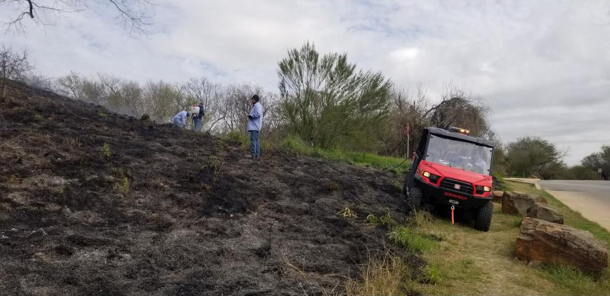
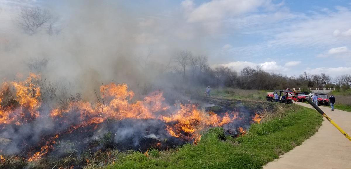
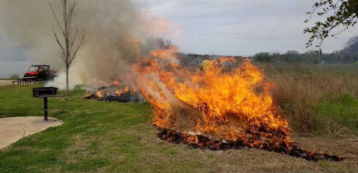
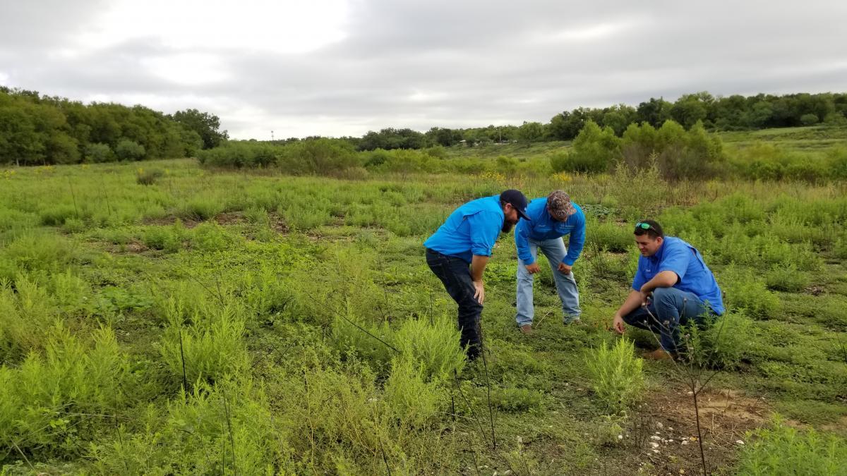
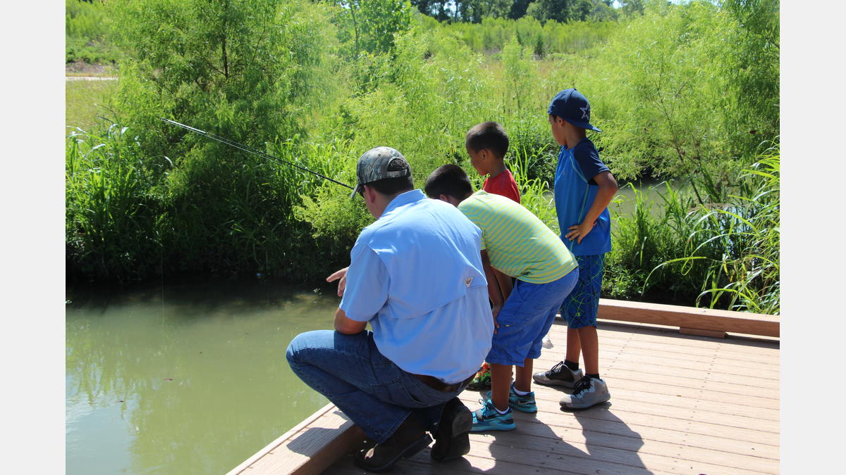
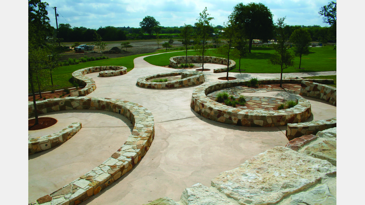
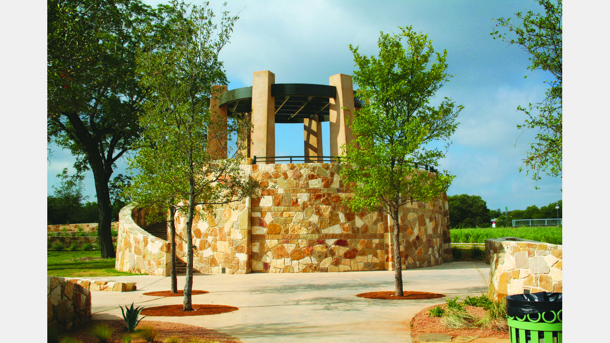
Mission Reach se ve muy diferente al histórico San Antonio River Walk y Museum Reach. Es un ejemplo brillante de restauración de ecosistemas urbanos. Es posible que se encuentre con algunos de los miembros de nuestro equipo de paisajismo de River Authority que mantienen el área libre de basura y cuidan los pastos y flores silvestres nativos de Texas que proporcionan semillas, polen, frutas y néctar para la vida silvestre. El resultado es un paisaje natural sereno donde los visitantes pueden disfrutar de la belleza inherente del río. La restauración también ha mejorado la calidad del agua, la función del ecosistema y la salud del río San Antonio. Las mejoras del ecosistema permiten a los pescadores, observadores de aves y otros entusiastas de la naturaleza tener más oportunidades para disfrutar de la vida silvestre en un área urbana. ¡Incluso podrías unirte a algunos miembros del personal de recreación de River Authority para una clínica de pesca o observación de aves!
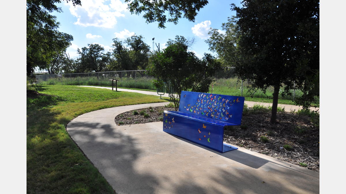
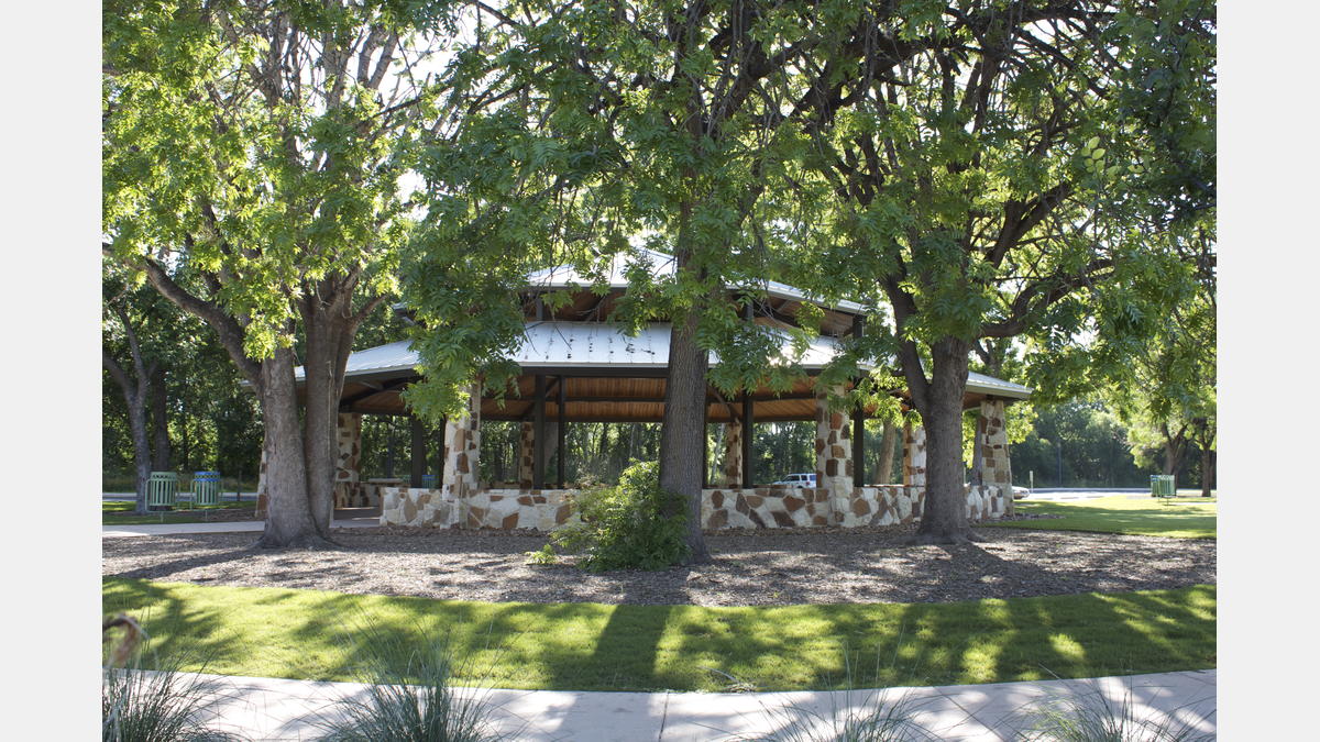
Este parque alberga carreras divertidas de 5 km, clases de arte, festivales y muchos otros eventos comunitarios. Puede organizar sus propios eventos en uno de los muchos pabellones disponibles para reservar. Asegúrese de revisar el Calendario de eventos de la Autoridad del Río y sistema de registro de parques, y también descargar Mapa del Paseo del Río San Antonio para conocer más sobre todo lo que este parque tiene para ofrecer.