Informacion de acceso
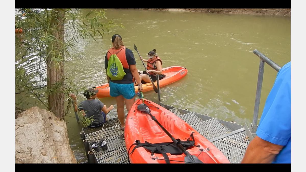
El sendero comienza en la Autoridad del Río. Parque River Crossing en el río San Antonio en el condado de Bexar. Cerca de Floresville, Texas, en el condado de Wilson, hay puntos de acceso adicionales en Parque Graytown en el río San Antonio, en John William Helton - Parque Natural del Río San Antonio, en County Road 117 y en Texas Highway 97 en Floresville River Park.
Información de descubrimiento
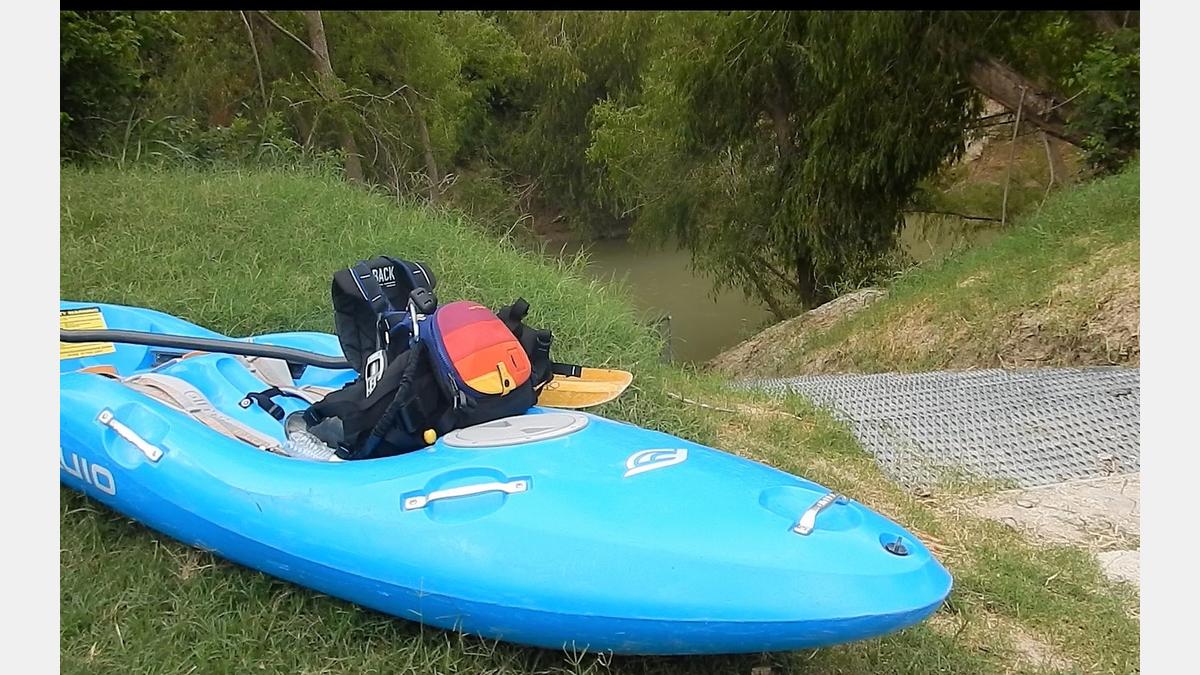
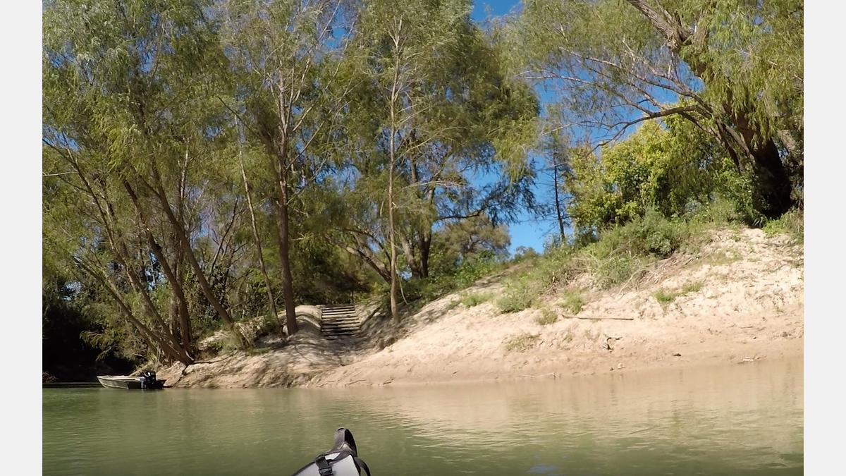
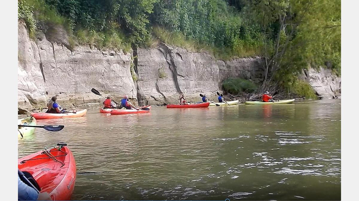
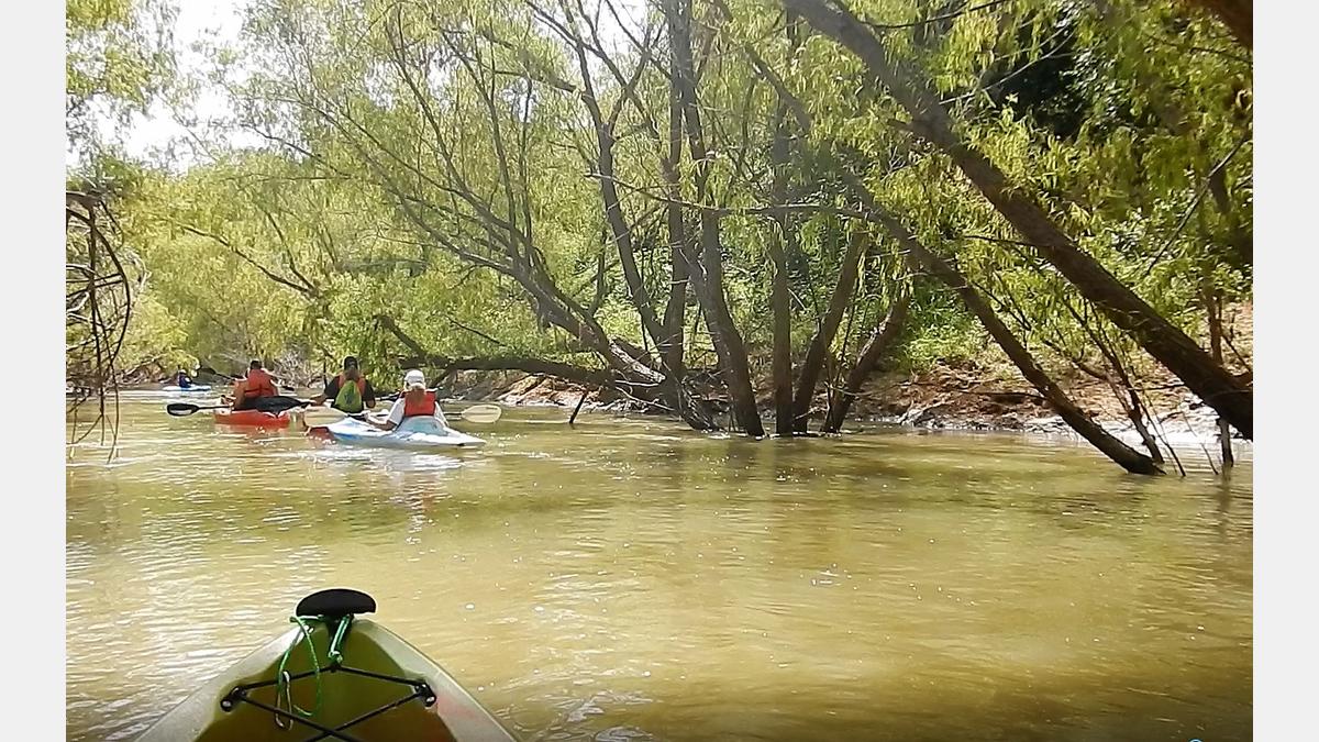
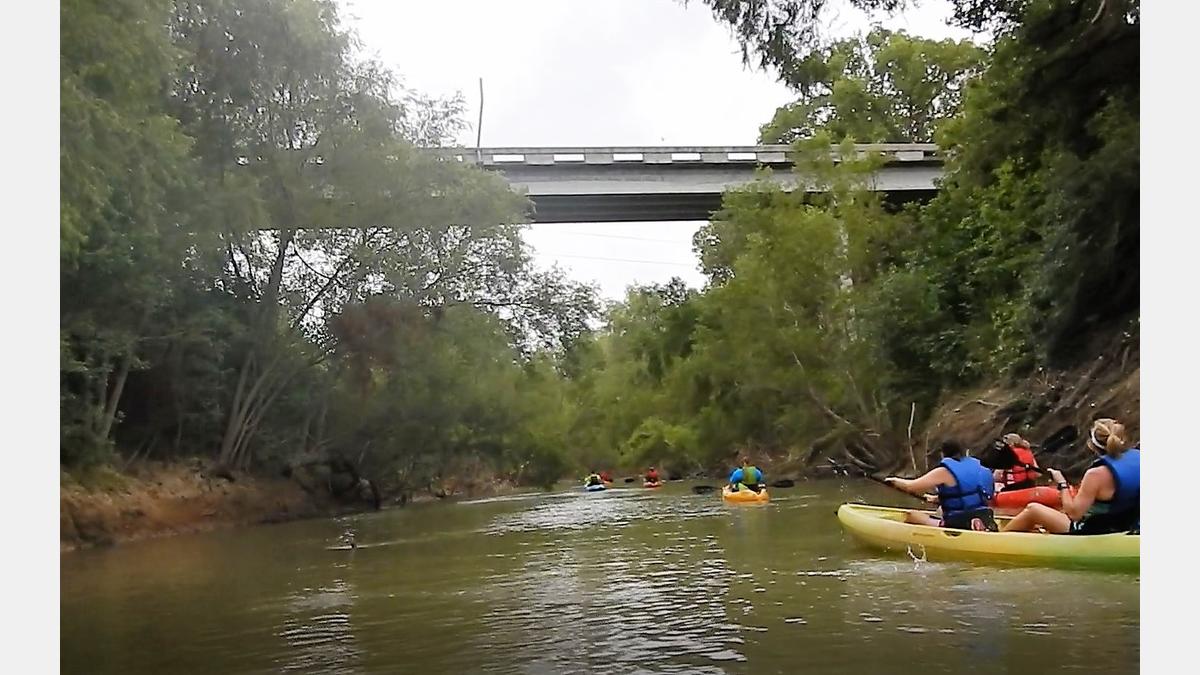
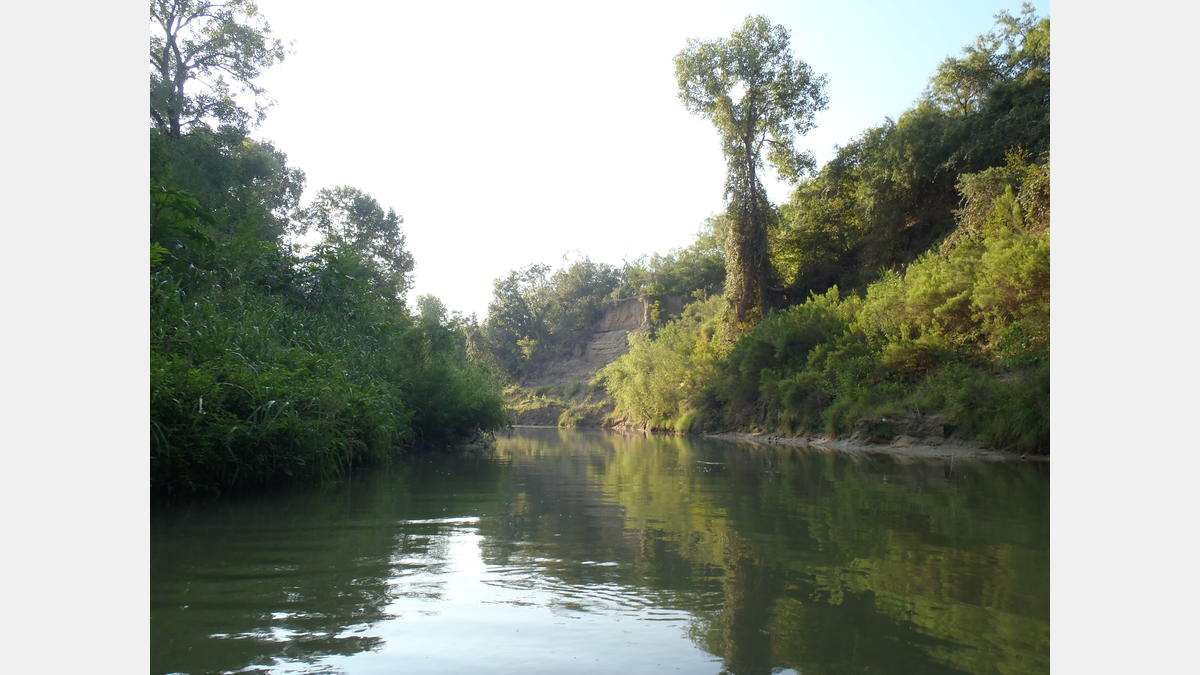
Las características geológicas intrigantes, los árboles altos que dan sombra y las aguas que fluyen pacíficamente hacen del SASPAMCO Paddling Trail una aventura para remar sin igual en el área de San Antonio. Este sendero tiene una sensación salvaje ya que recorre un poco más de 29 millas a través de partes de los condados de Bexar y Wilson, pero está conectado a parques rurales para acceder a servicios como mesas de picnic, baños y estacionamiento. El caudal puede variar, por lo que es una buena idea comprobar las condiciones del flujo antes de dirigirse al sendero para remar. Si programa su excursión correctamente, es posible que se encuentre con un evento comunitario en el Parque Natural John William Helton cuando concluya su viaje de remo.
Quizás te preguntes, “¿cuál es el origen del nombre SASPAMCO?” SASPAMCO es una pequeña comunidad en el sur del condado de Bexar cuyo nombre es un acrónimo de San Antonio Sewer Pipe Manufacturing Company, una empresa que fue el empleador predominante en la comunidad hasta la década de 1960. Desde entonces, la empresa cerró, pero el nombre se mantuvo.
Servicios del sendero para remar:
- Tiros de Cano y Rifles: SI
- Tipo de Paisaje: Rural
- Acceso a teléfono celular: variable
- Llevar abundante agua potable.
- Algo de sombra de árbol presente
- Es posible que se produzcan atascos de troncos
- Los bancos son en su mayoría de barro blando.
Galería de senderos para remar:
Mapa de senderos para remar
Detalles del sendero para remar:
- Dificultad: Experiencia recomendada
- Distancia: 29 millas
- Tiempo de flotación: 4-12 horas
Recursos descargables:
Sendero de remo SASPAMCO - GPX
Estos archivos son compatibles con aplicaciones de teléfonos inteligentes como GPX Viewer y Track Viewer. Descargue los archivos en su dispositivo y consulte su ruta de remo antes de salir al agua. Descargo de responsabilidad, los dispositivos de teléfonos inteligentes varían en su precisión.
Sendero de remo SASPAMCO - KMZ
Estos archivos son compatibles con aplicaciones de software/teléfonos inteligentes como Google Earth y Esri ArcGIS. Descargue los archivos en su dispositivo y consulte su ruta de remo antes de salir al agua. Descargo de responsabilidad, los dispositivos varían en su precisión.
Guía de la Cuenca del Río San Antonio
Una colección de parques, senderos y destinos históricos en toda la cuenca del río San Antonio, incluidos los condados de Bexar, Wilson, Karnes y Goliad, así como el paseo del río San Antonio (centro, Museum Reach y Mission Reach).