
Última actualización el 30 de enero de 2024
Derek Boese, JD, PMP Gerente general
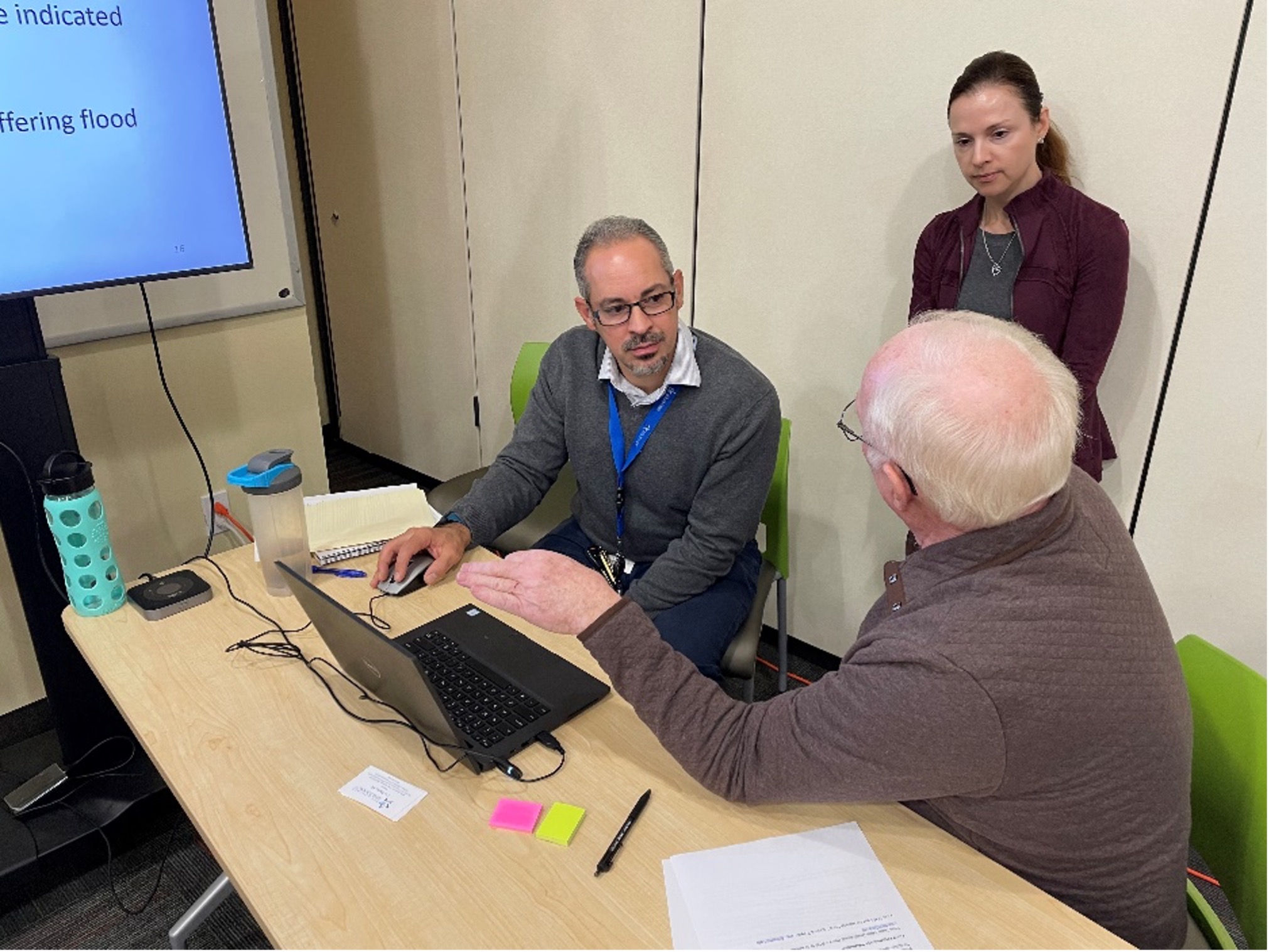
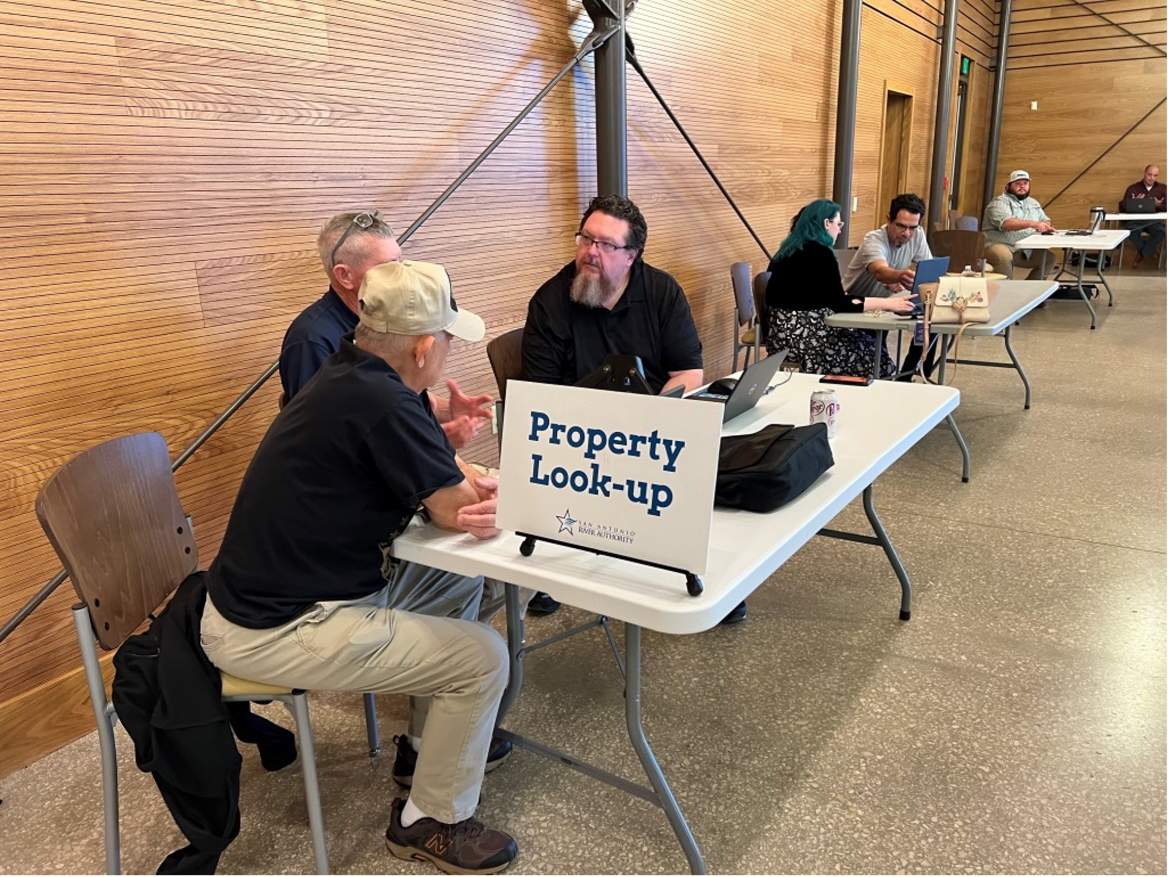
La San Antonio River Authority (Autoridad del Río) está comprometida con la seguridad, y como Autoridad En materia de seguridad contra inundaciones, desempeñamos un papel crucial en la cuenca del río San Antonio como socio técnico cooperante para la Agencia Federal para el Manejo de Emergencias (FEMA). Este papel también es fundamental para nuestra misión: mantener la cuenca del río San Antonio seguro, limpio, y agradable. Este invierno, la Autoridad del Río organizó 13 jornadas de puertas abiertas en todo el condado de Bexar para que el público pudiera ver nuevos mapas preliminares de llanuras aluviales junto con un ingeniero de la Autoridad del Río. Más de 271 hogares del condado de Bexar interesados en comprender su riesgo de inundaciones asistieron a las jornadas de puertas abiertas, y los ingenieros de River Authority dedicaron más de 300 horas para que estos eventos fueran exitosos e informativos. Gracias a todos los que ayudaron a hacer posibles estos eventos y a la comunidad por asistir a estos eventos para hablar con los ingenieros y representantes de River Authority de las ciudades de San Antonio, Live Oak, Leon Valley y Saint Hedwig, así como del condado de Bexar y la Junta de Desarrollo del Agua de Texas.
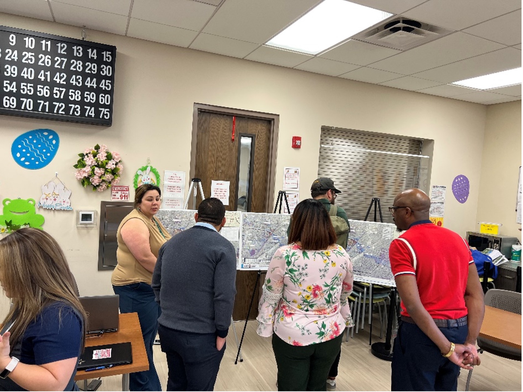
Casa abierta de Draft Maps en el Centro Comunitario de Normoyle (derecha) y la Biblioteca Igo de la Biblioteca Pública de San Antonio (derecha)

Jornada de puertas abiertas de Draft Maps en el Centro de Ecología Urbana de Hardberger Park
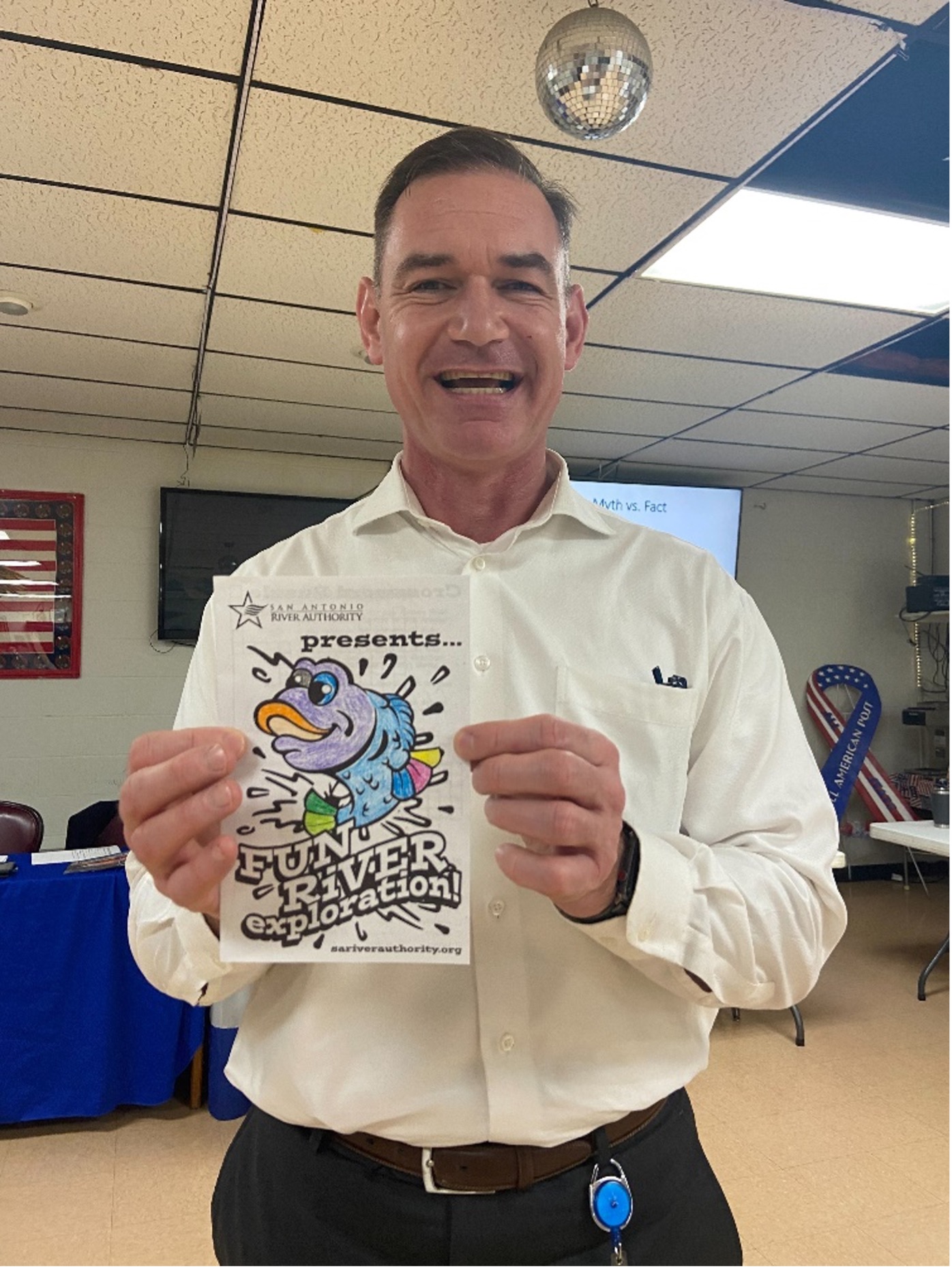
El equipo educativo de River Authority proporcionó libros de actividades para las familias en las jornadas de puertas abiertas.
La Autoridad del Río ha sido Actualización de los mapas de llanuras aluviales. utilizando las estimaciones de precipitaciones actualizadas de la Administración Nacional Oceánica y Atmosférica (NOAA), los datos de elevación de la superficie del suelo del Sistema de Información de Recursos Naturales de Texas (TNRIS) y los datos más recientes sobre el uso de la tierra para nuestra comunidad. Debido a la naturaleza en constante cambio de las llanuras aluviales, es esencial mantener los mapas regulatorios de llanuras aluviales lo más actualizados posible. Al igual que los ríos y arroyos, las llanuras aluviales son dinámicas y están influenciadas por las precipitaciones, el desarrollo y cambios climáticos más amplios. La actualización de los mapas de llanuras aluviales brinda a las personas y empresas información importante sobre el riesgo de inundaciones sobre su probabilidad de experimentar eventos de lluvia importantes.
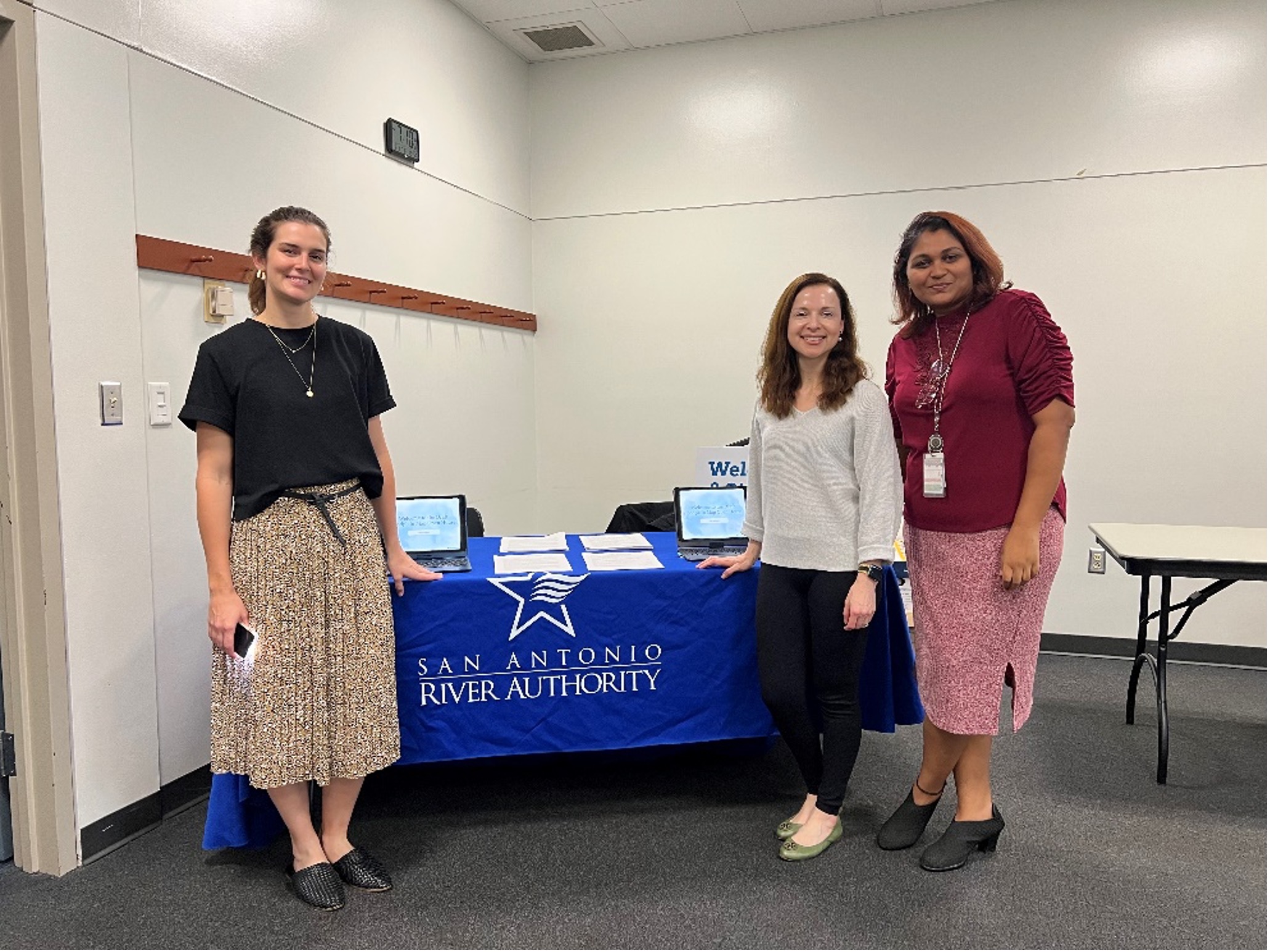
Miembros del Departamento de Ingeniería Ecológica de la Autoridad de los Ríos
Os animo a visitar el Proyecto de visor de llanura aluvial. para conocer su riesgo de inundación actualizado, tomar decisiones informadas sobre el seguro contra inundaciones y la mejor manera de proteger su propiedad. A finales de 2024, la Autoridad del Río dispondrá de planos de inundación para las comunidades de la cuenca sur de los condados de Wilson, Karnes y Goliad. La Autoridad del Río realizará jornadas de puertas abiertas en la cuenca sur antes de que FEMA adopte formalmente los mapas. También habrá un proceso separado de divulgación pública y apelaciones formales dirigido por FEMA cuando se acerque la adopción formal de los mapas. Anticipamos que las jornadas de puertas abiertas de River Authority se realizarán aproximadamente 18 meses antes de los procesos formales de adopción y apelaciones de FEMA. Tenemos la intención de brindarles a todos amplias oportunidades para tomar decisiones seguras y basadas en el riesgo de inundaciones.
A medida que nos acercamos al verano y más allá, continuamos nuestro compromiso con arroyos y ríos seguros, limpios y agradables. También lo invitamos a aprovechar el hermoso clima primaveral para salir al río y disfrutar de muchas oportunidades recreativas en parques y senderos en toda la cuenca del río.
Nos vemos en el río,
Derek