Last Updated on March 12, 2024
La serie “My River POV” brinda a los lectores la oportunidad de conocer los conocimientos y las experiencias únicas del personal de la Autoridad del Río San Antonio (Autoridad del Río) y su conexión con el Río San Antonio con la esperanza de inspirar la administración de los arroyos y ríos del área.
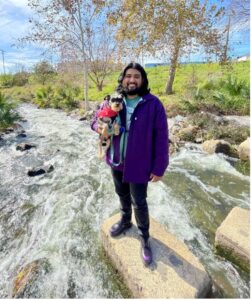
Paul with his pup Pancho at the San Antonio River near Blue Star Complex.
Paul Martinez IV, Environmental Data Specialist
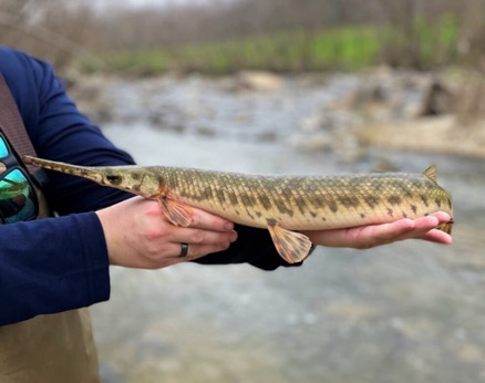
I was born and raised in San Antonio, and to me, the San Antonio River has always been intertwined with the identity of this city. Growing up here, I remember having family celebrations on Mexican Manhattan’s restaurant patio overlooking the River Walk and dreaming of going on one of the river barges. In high school, I learned more about the river’s origins, especially the Blue Hole—also referred to as Yanaguana—located at the Headwaters Preserve on the University of Incarnate Word campus. Since joining the River Authority team in 2018, I have learned about the greater scope of our mission and vision by reviewing water quality data, going on fish and bird surveys, and exploring the Alcance de la misión. My time with the River Authority has helped me fully understand the San Antonio River’s reach and its significance, not only in the City of San Antonio but this entire region of Texas.
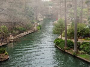
The San Antonio River winds through the heart of downtown San Antonio, Texas.
I am an environmental data specialist in the Environmental Sciences Department, and I work with water quality, monitoring, and invasive species removal data. I also prepare data packages for the Programa Ríos Limpios, a statewide monitoring effort where we collect and analyze water samples from waterways throughout the San Antonio Cuenca del río. This data allows us to track the river’s long-term health and make informed decisions to improve the overall water quality. The public can access this data through our online visualizer, el San Antonio River Watershed Water Quality View. Users can dig deeper into the data by examining the sampling locations, historical data, possible impairments, or overall environmental impacts. This tool helps us directly provide our findings to the public so they can better understand the condition and health of their local waterways.
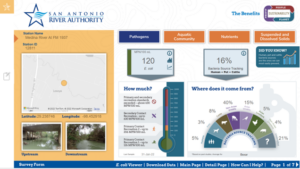
Río San Antonio Cuenca Visor de calidad del agua
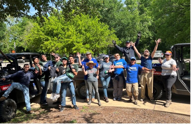
The Environmental Sciences Department also coordinates the removal of invasive caracoles manzana from the San Antonio River. Since these snails reproduce prolifically, they can outcompete the native organisms and ultimately threaten the ecosystem health of the San Antonio River. With the incredible assistance of the River Authority’s community Voluntarios de River Warrior, River Authority staff, and contractors, we remove these adult snails and egg clutches before they can migrate further downstream. I developed our Apple Snail Removal Report to help track our removal efforts along the San Antonio River and to provide updates on the apple snail situation. The report shows the number of removals for each river section, the specific removal of adult snails and their egg clutches, and our overall removal counts since 2020. It also highlights the removal efforts of the River Warrior volunteers, whose contributions total more than 20% of apple snails removed.

A recent snapshot of apple snail removal efforts. Nearly 2,000 apple snails were collected and removed during the recent River Walk Draining this January.
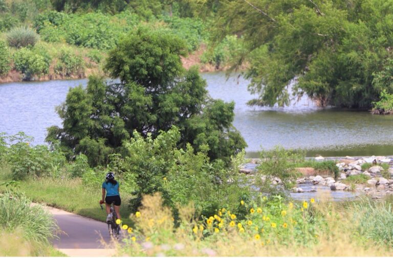
Working at the River Authority has deepened my appreciation for the San Antonio River, and seeing the river first-hand has instilled in me the need to help protect it. This river isn’t merely a tourist attraction—the San Antonio River is a living entity that hosts and sustains life while fostering community throughout the region. With community support, we can monitor the river’s health and manage this resource to benefit the ecosystems and the people relying on it. The San Antonio River will remain a blue gem for this region if we continue to appreciate the benefits and preserve the river’s integrity.
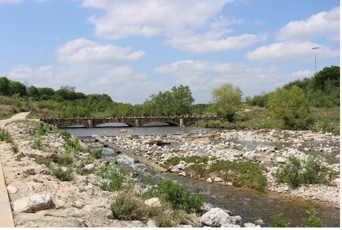
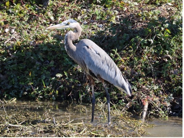
Left: The San Antonio River along the Mission Reach. Right: Great Blue Heron (Ardea herodias)