Con su exuberante vegetación, fácil accesibilidad y modernas comodidades recreativas, Escondido Creek Parkway es el nuevo centro al aire libre favorito en la ciudad de Kenedy, un lugar de reunión para que la comunidad disfrute de su tiempo en la naturaleza y juntos. Este atractivo parque lineal transforma la forma en que las personas se conectan con su comunidad y el medio ambiente al brindar oportunidades incomparables para recrearse de manera segura en un paisaje nativo. A la sombra cambiante de los sauces, al ritmo de un animado coro de cantos de pájaros, a lo largo de un embalse azul ondulante, la gente y la naturaleza se unen en Escondido Creek Parkway.
Escondido Creek es una modesta vía fluvial efímera que recorre el ciudad de kenedy en el condado de Karnes, Texas. Como afluente importante en la cuenca sur del río San Antonio Cuenca, la Autoridad del Río San Antonio ha compartido una larga historia, desde la década de 1950, con los líderes locales y la ciudadanía para construir, operar y mantener trece represas dentro de la cuenca del arroyo.
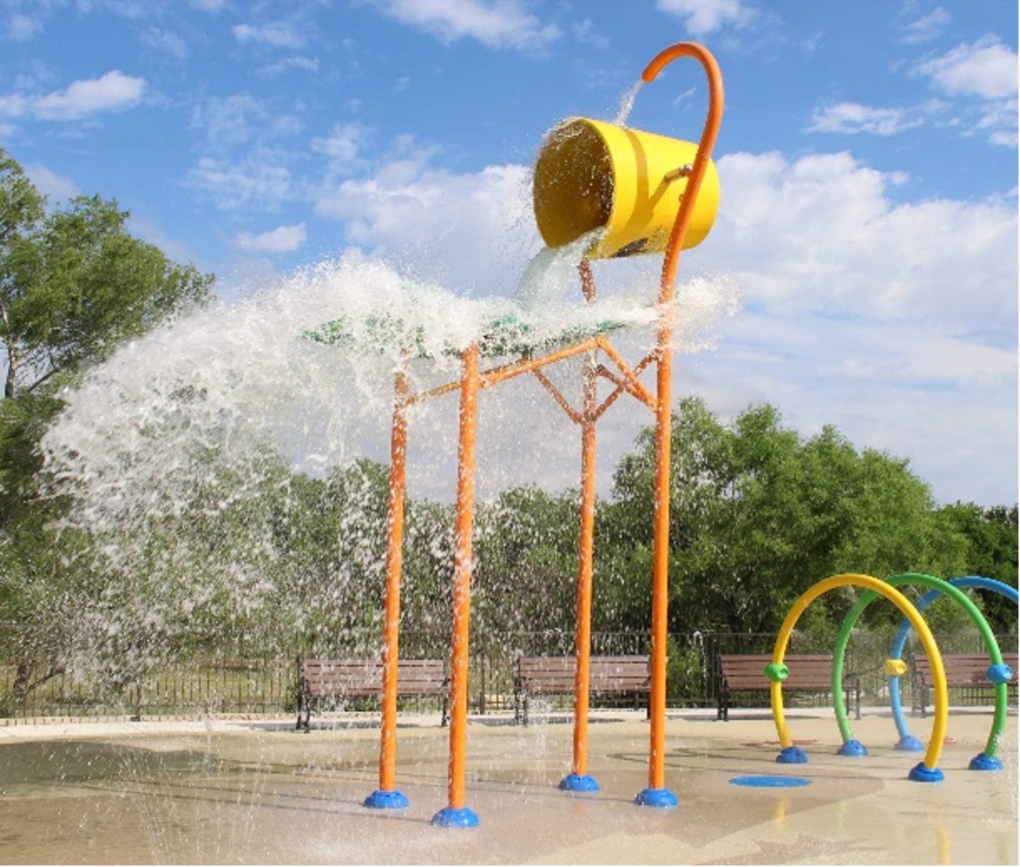
El Proyecto Escondido Creek Parkway es una visión realizada para crear un atractivo parque lineal con características que permitan a la comunidad nuevas oportunidades para sentarse, pasear, correr, jugar y disfrutar del aire libre a lo largo de una vía fluvial llena de beneficios. En parte, funciona como una vía segura, que conecta Joe Gully Park y los campos deportivos con hogares y escuelas al proporcionar senderos debajo de la autopista 181. Las comodidades recreativas en el parque lineal incluyen un sendero de más de una milla de largo que tiene 10 pies de ancho para permitir múltiples -uso específico, como caminatas y ciclismo rodeado de hermosos paisajes nativos de Texas. Algunas comodidades adicionales incluyen: un área de juegos para niños, área de chapoteo, parque de patinaje, un pabellón, baños, un anfiteatro, mesas de picnic, bancos y mucho más. Estas mejoras promueven un estilo de vida saludable y el disfrute del aire libre para las generaciones venideras.
Si tiene preguntas o desea obtener más información sobre Escondido Creek Parkway, visite escondidocreekparkway.org o Contáctenos.